Distance between  Sandy Point and
  Gisborne
123.94 mi Straight Distance
155.45 mi Driving Distance
2 hours 53 mins Estimated Driving Time
The straight distance between Sandy Point (Victoria) and Gisborne (Victoria) is 123.94 mi, but the driving distance is 155.45 mi.
It takes to go from Sandy Point to Gisborne.
Driving directions from Sandy Point to Gisborne
Distance in kilometers
Straight distance: 199.43 km. Route distance: 250.12 km
Sandy Point, Australia
Latitude: -38.8201 // Longitude: 146.12
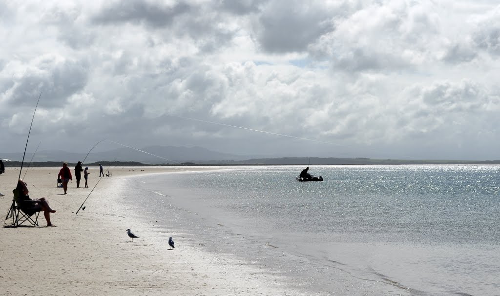
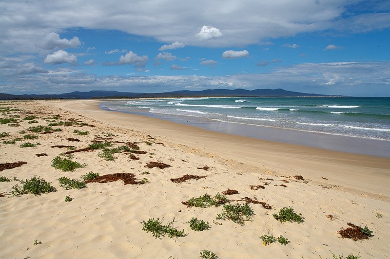
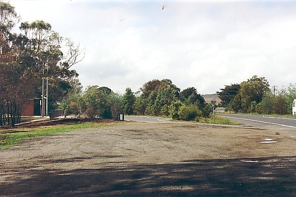
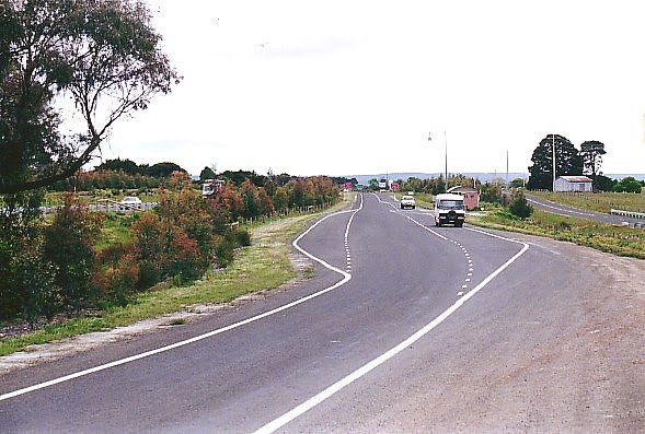
Photos of Sandy Point
Sandy Point Weather

Predicción: Overcast clouds
Temperatura: 11.9°
Humedad: 76%
Hora actual: 12:00 AM
Amanece: 08:44 PM
Anochece: 07:45 AM
Gisborne, Australia
Latitude: -37.488 // Longitude: 144.592
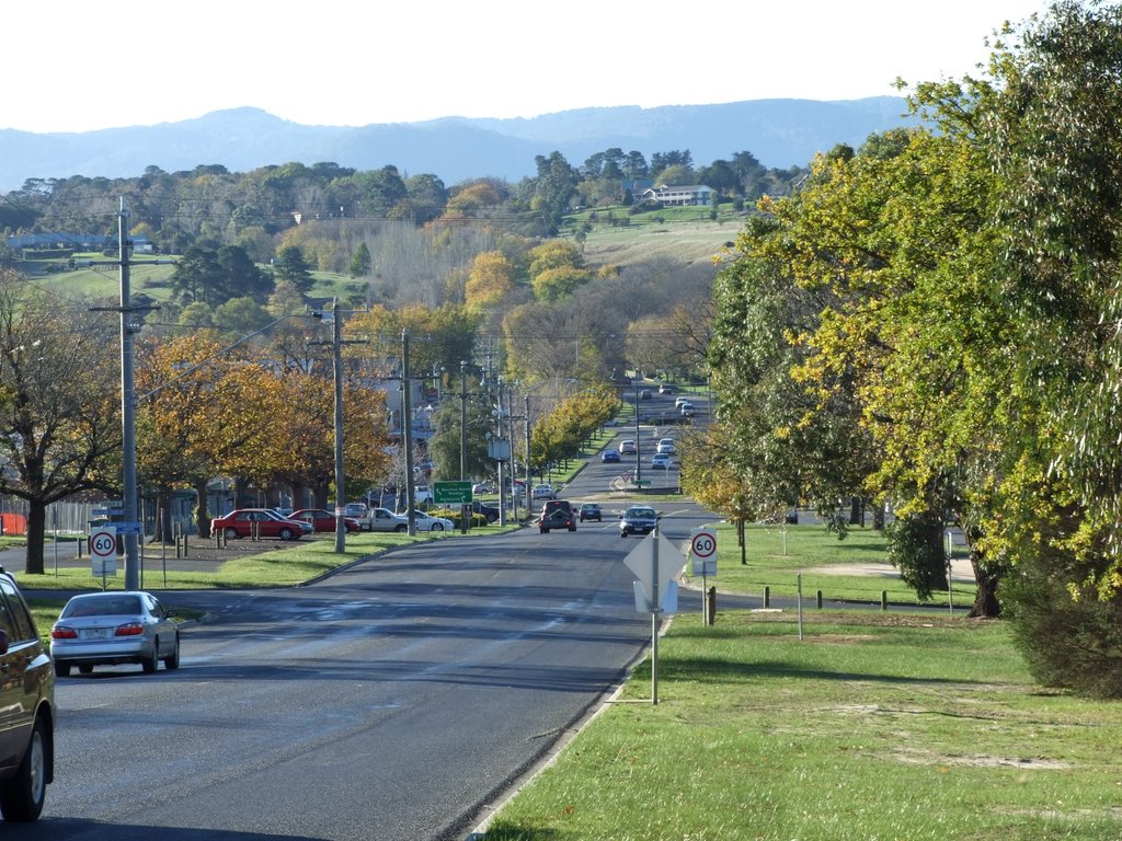
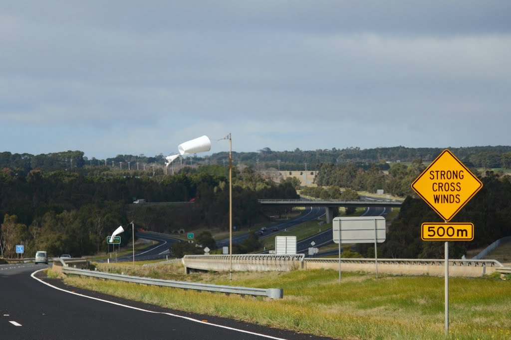
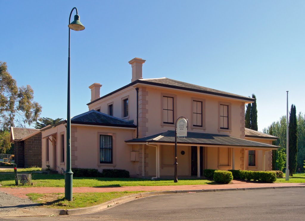
Photos of Gisborne
Gisborne Weather

Predicción: Light rain
Temperatura: 11.7°
Humedad: 91%
Hora actual: 09:12 PM
Amanece: 06:49 AM
Anochece: 05:53 PM


