Distance between  Sandy Flat and
  Gerringong
387.24 mi Straight Distance
472.29 mi Driving Distance
8 hours 32 mins Estimated Driving Time
The straight distance between Sandy Flat (New South Wales) and Gerringong (New South Wales) is 387.24 mi, but the driving distance is 472.29 mi.
It takes to go from Sandy Flat to Gerringong.
Driving directions from Sandy Flat to Gerringong
Distance in kilometers
Straight distance: 623.07 km. Route distance: 759.91 km
Sandy Flat, Australia
Latitude: -29.2312 // Longitude: 152.008
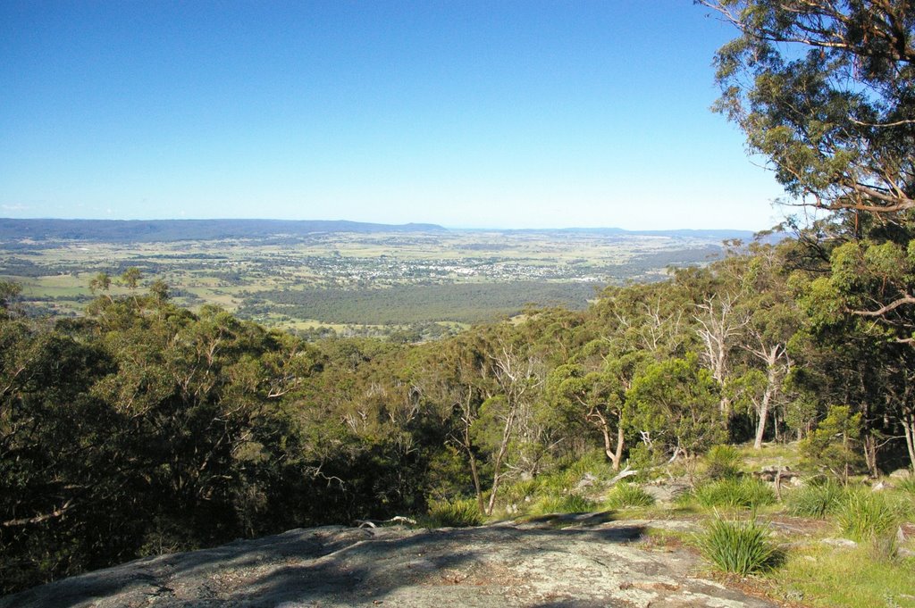
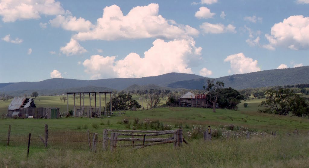
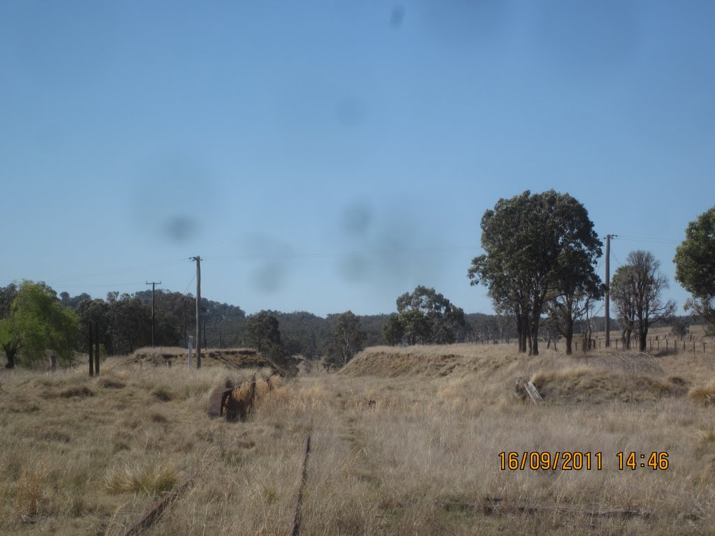
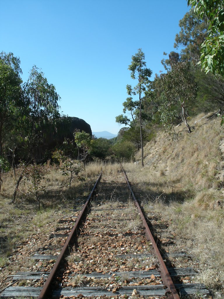
Photos of Sandy Flat
Sandy Flat Weather

Predicción: Scattered clouds
Temperatura: 16.8°
Humedad: 84%
Hora actual: 12:00 AM
Amanece: 08:12 PM
Anochece: 07:29 AM
Gerringong, Australia
Latitude: -34.7457 // Longitude: 150.827
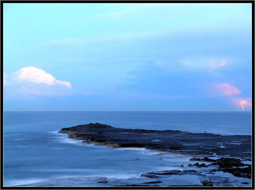
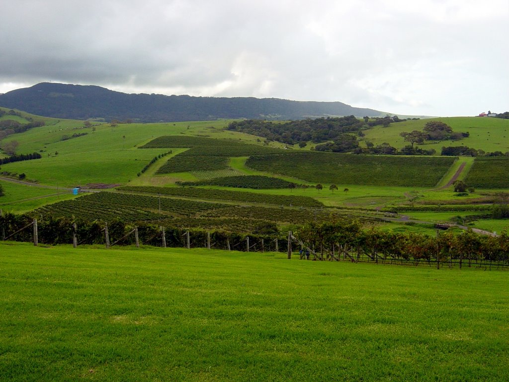
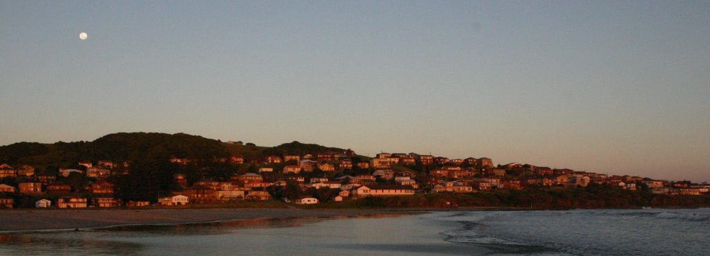
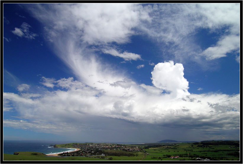
Photos of Gerringong
Gerringong Weather

Predicción: Broken clouds
Temperatura: 21.3°
Humedad: 74%
Hora actual: 03:36 PM
Amanece: 06:22 AM
Anochece: 05:29 PM


