Distance between  Sandstone and
  Taplan
1,349.61 mi Straight Distance
1,683.88 mi Driving Distance
1 day 6 hours Estimated Driving Time
The straight distance between Sandstone (Western Australia) and Taplan (South Australia) is 1,349.61 mi, but the driving distance is 1,683.88 mi.
It takes to go from Sandstone to Taplan.
Driving directions from Sandstone to Taplan
Distance in kilometers
Straight distance: 2,171.53 km. Route distance: 2,709.37 km
Sandstone, Australia
Latitude: -27.9896 // Longitude: 119.297
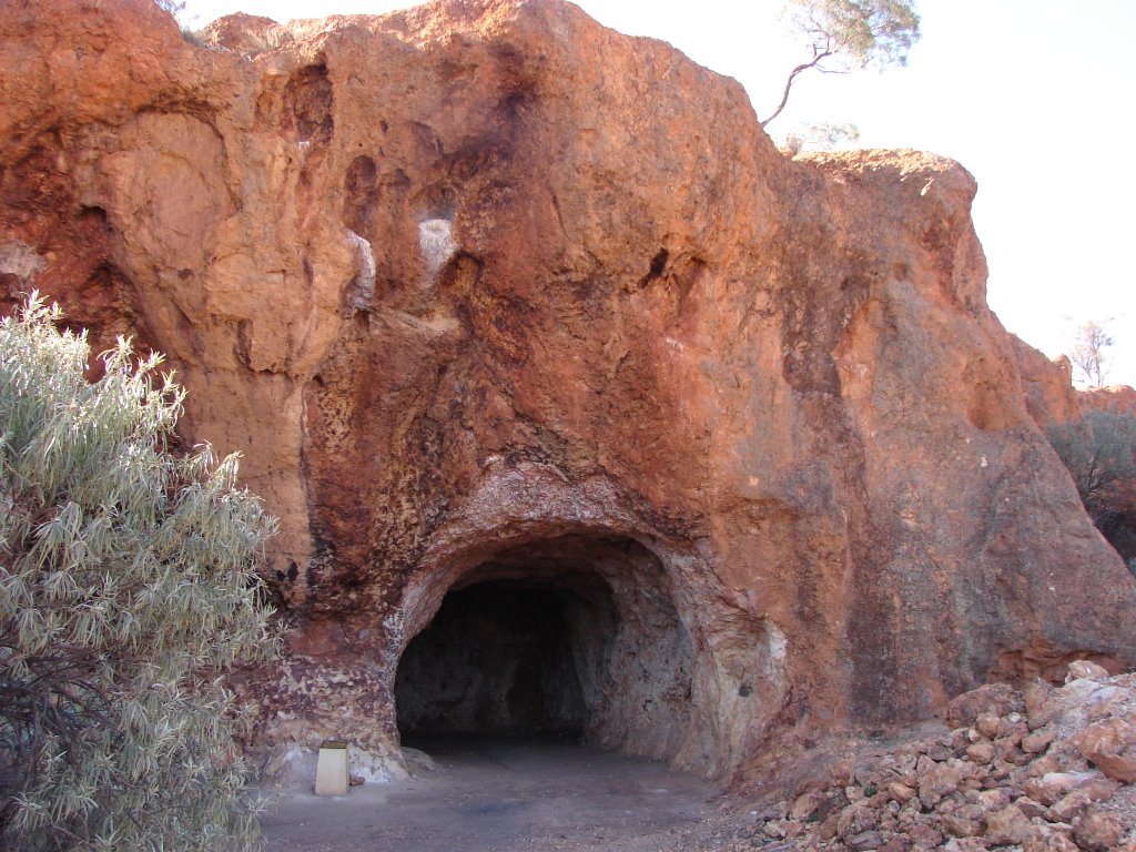
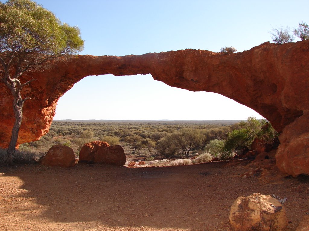
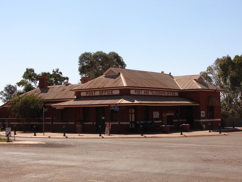
Photos of Sandstone
Sandstone Weather

Predicción: Clear sky
Temperatura: 25.1°
Humedad: 22%
Hora actual: 04:54 PM
Amanece: 06:21 AM
Anochece: 05:42 PM
Taplan, Australia
Latitude: -34.5439 // Longitude: 140.884
Photos of Taplan
Taplan Weather

Predicción: Scattered clouds
Temperatura: 15.4°
Humedad: 57%
Hora actual: 08:00 AM
Amanece: 05:02 AM
Anochece: 04:09 PM


