Distance between  Sandstone and
  Bencubbin
213.55 mi Straight Distance
396.92 mi Driving Distance
6 hours 54 mins Estimated Driving Time
The straight distance between Sandstone (Western Australia) and Bencubbin (Western Australia) is 213.55 mi, but the driving distance is 396.92 mi.
It takes 8 hours 2 mins to go from Sandstone to Bencubbin.
Driving directions from Sandstone to Bencubbin
Distance in kilometers
Straight distance: 343.61 km. Route distance: 638.64 km
Sandstone, Australia
Latitude: -27.9896 // Longitude: 119.297
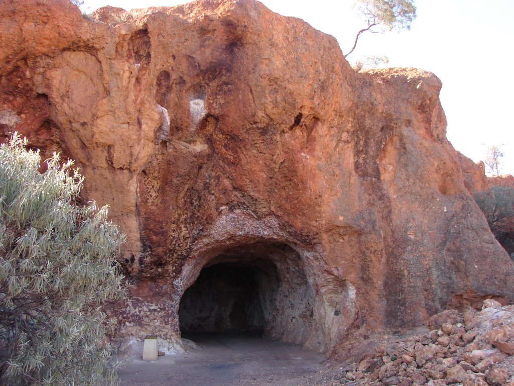
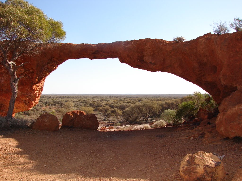
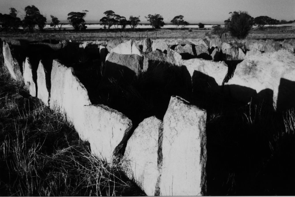
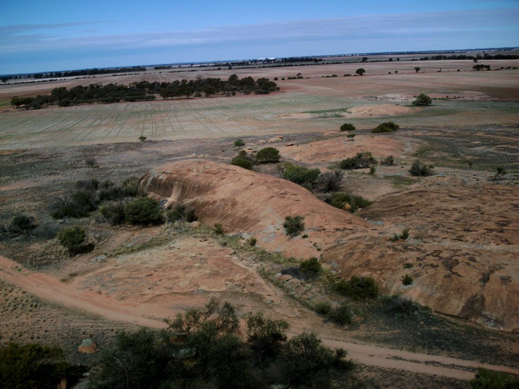
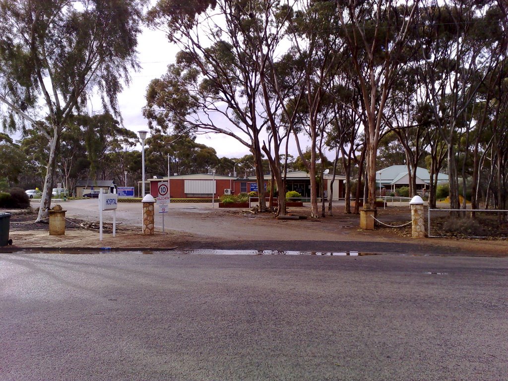
Photos of Sandstone
Sandstone Weather

Predicción: Few clouds
Temperatura: 24.7°
Humedad: 30%
Hora actual: 07:44 PM
Amanece: 06:20 AM
Anochece: 05:44 PM
Bencubbin, Australia
Latitude: -30.8164 // Longitude: 117.862
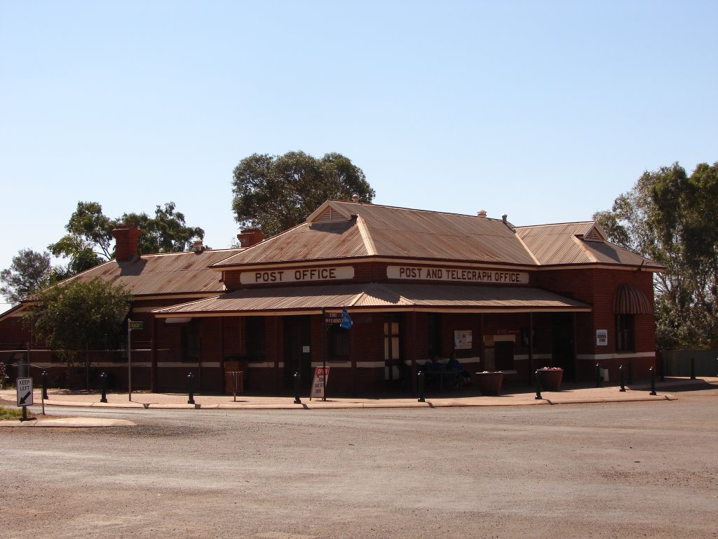
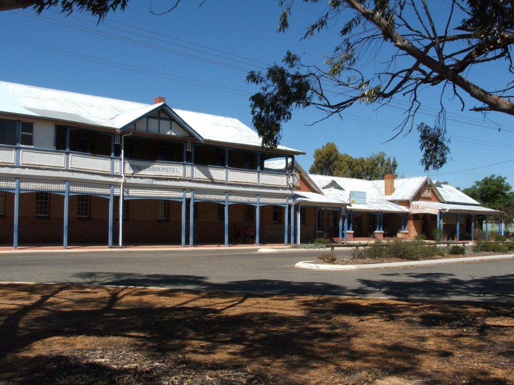
Photos of Bencubbin
Bencubbin Weather

Predicción: Clear sky
Temperatura: 22.5°
Humedad: 37%
Hora actual: 08:00 AM
Amanece: 06:29 AM
Anochece: 05:47 PM


