Distance between  Sandhurst East and
  Jungaburra
149.45 mi Straight Distance
175.94 mi Driving Distance
3 hours 1 mins Estimated Driving Time
The straight distance between Sandhurst East (Victoria) and Jungaburra (Victoria) is 149.45 mi, but the driving distance is 175.94 mi.
It takes to go from Sandhurst East to Jungaburra.
Driving directions from Sandhurst East to Jungaburra
Distance in kilometers
Straight distance: 240.47 km. Route distance: 283.08 km
Sandhurst East, Australia
Latitude: -38.0806 // Longitude: 145.208
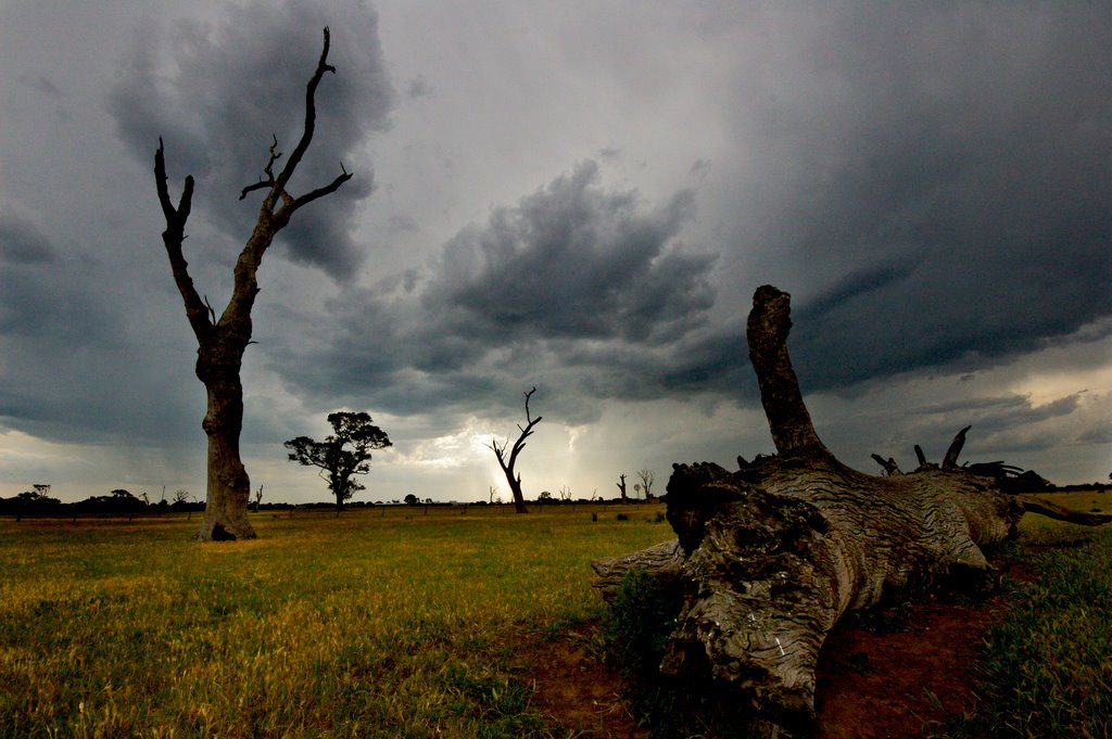
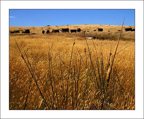
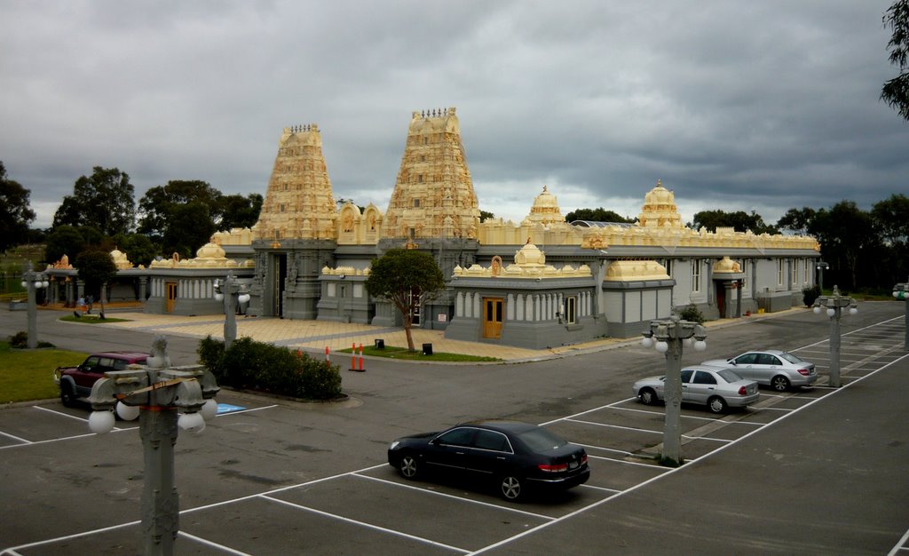
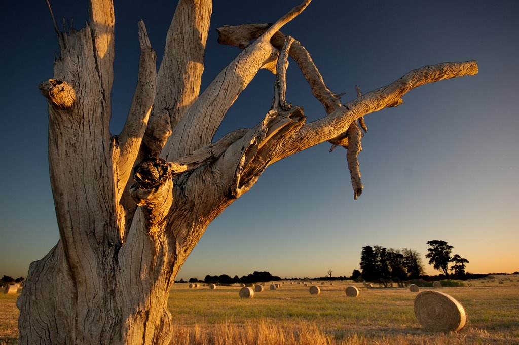
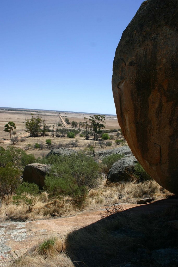
Photos of Sandhurst East
Sandhurst East Weather

Predicción: Light rain
Temperatura: 15.8°
Humedad: 81%
Hora actual: 06:13 PM
Amanece: 06:47 AM
Anochece: 05:50 PM
Jungaburra, Australia
Latitude: -36.0488 // Longitude: 144.278
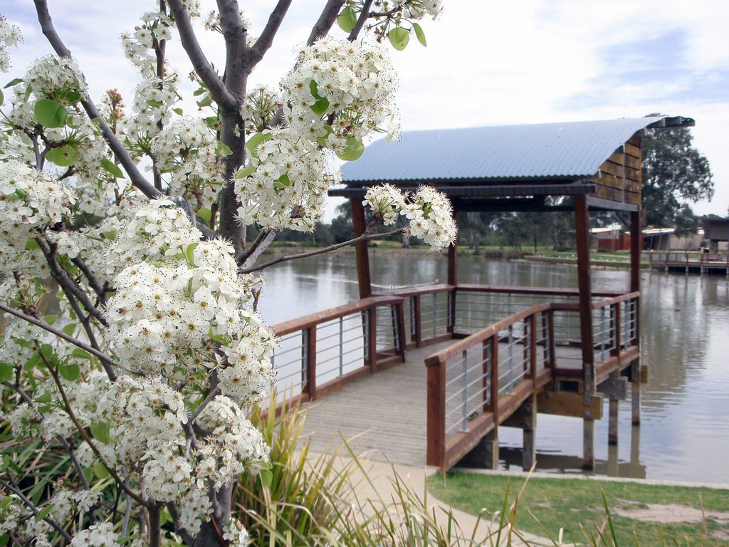
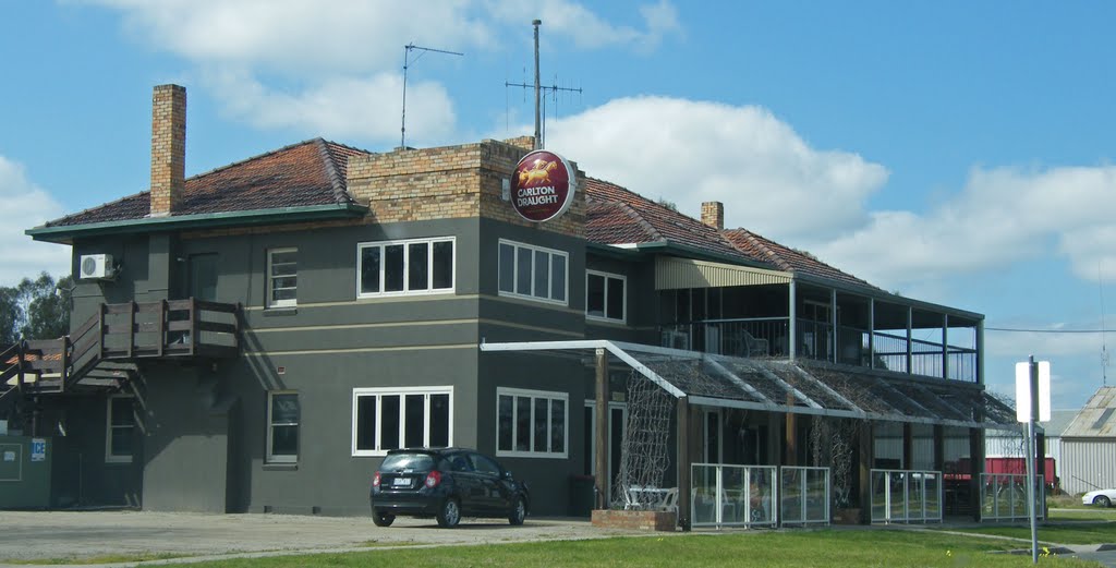
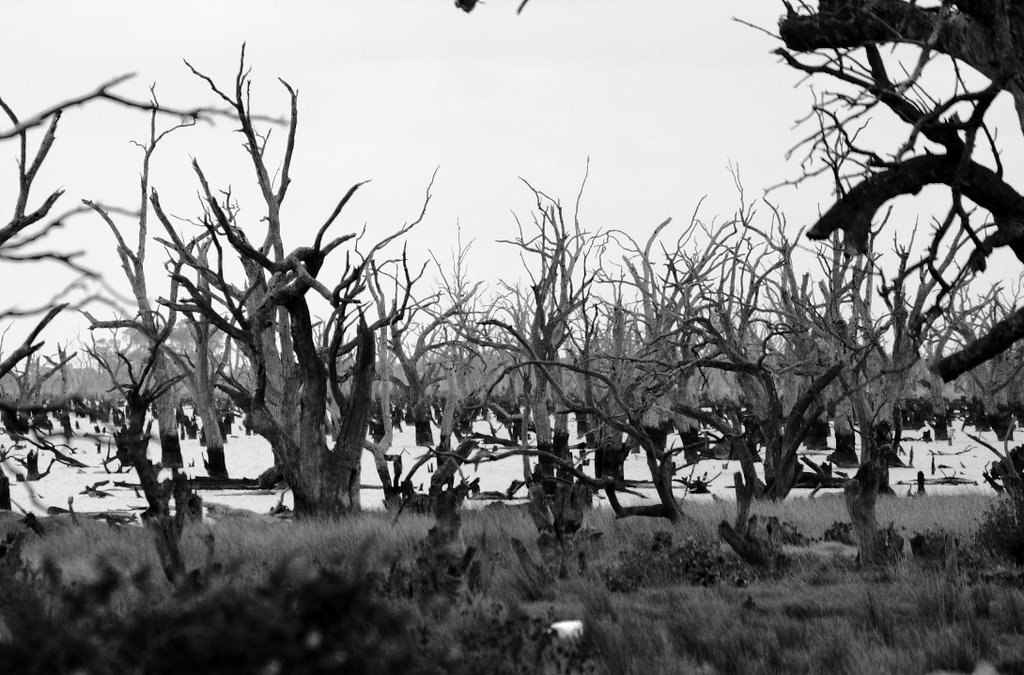
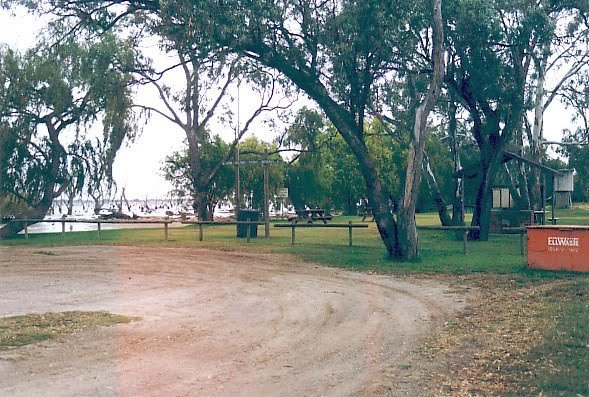
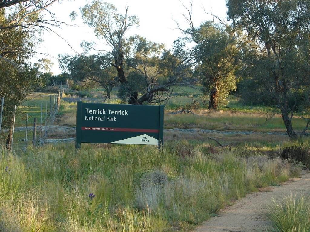
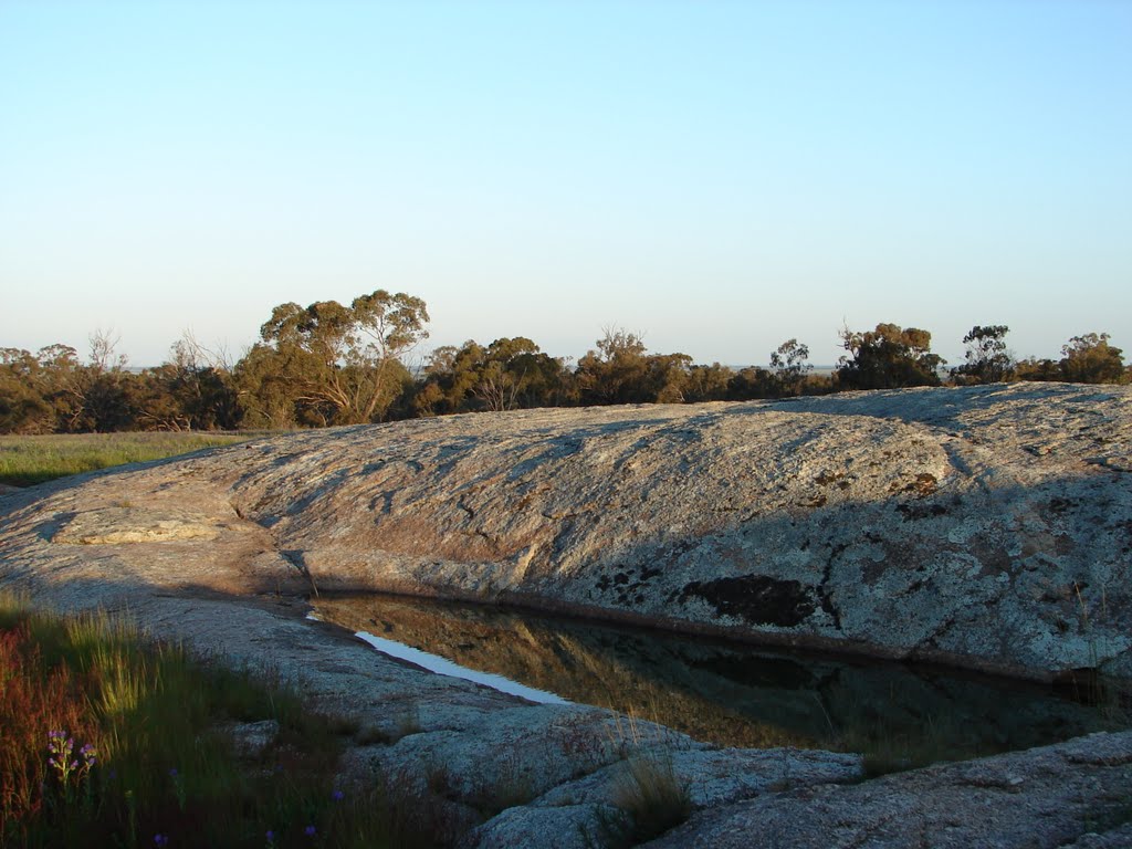
Photos of Jungaburra
Jungaburra Weather

Predicción: Broken clouds
Temperatura: 19.0°
Humedad: 45%
Hora actual: 10:00 AM
Amanece: 06:48 AM
Anochece: 05:56 PM


