Distance between  Rupanyup and
  Blackheath
479.30 mi Straight Distance
622.31 mi Driving Distance
10 hours 36 mins Estimated Driving Time
The straight distance between Rupanyup (Victoria) and Blackheath (New South Wales) is 479.30 mi, but the driving distance is 622.31 mi.
It takes to go from Rupanyup to Blackheath.
Driving directions from Rupanyup to Blackheath
Distance in kilometers
Straight distance: 771.19 km. Route distance: 1,001.29 km
Rupanyup, Australia
Latitude: -36.6327 // Longitude: 142.631
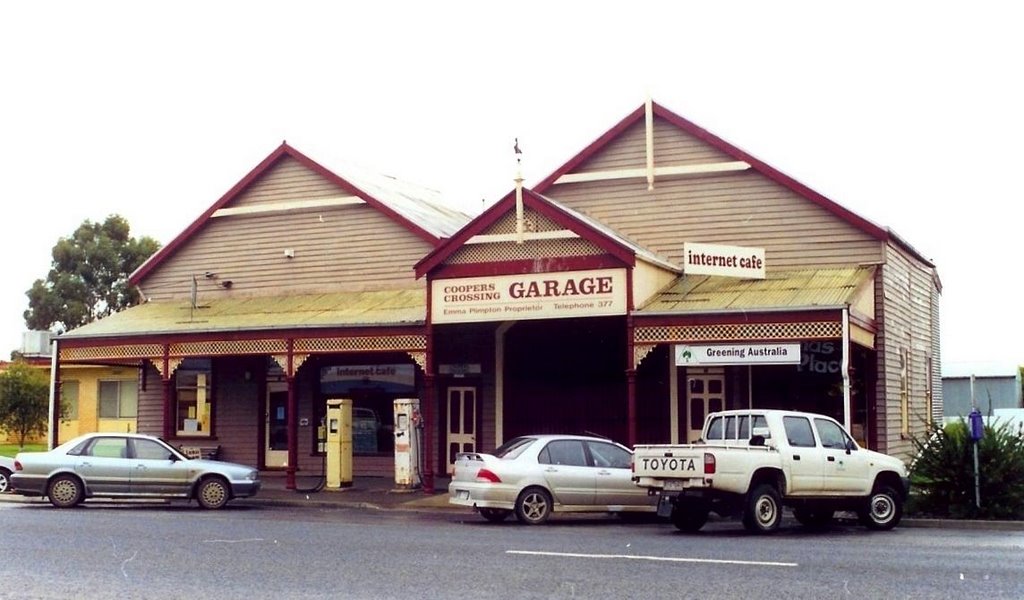
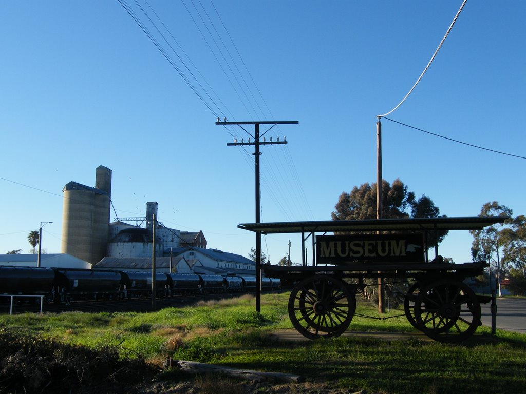
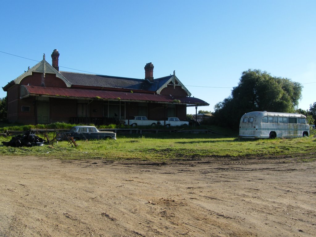
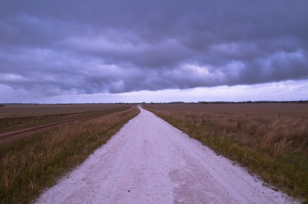
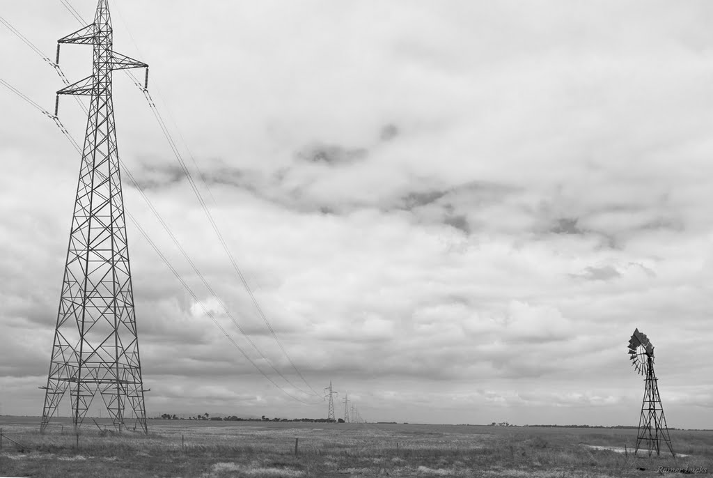
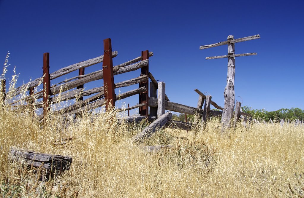
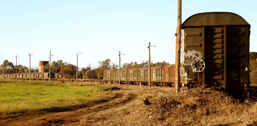
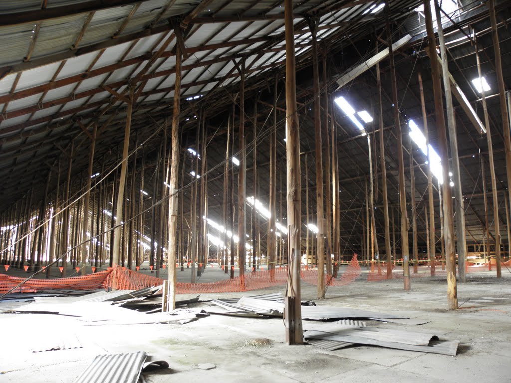
Photos of Rupanyup
Rupanyup Weather

Predicción: Overcast clouds
Temperatura: 12.9°
Humedad: 66%
Hora actual: 04:31 AM
Amanece: 06:58 AM
Anochece: 05:58 PM
Blackheath, Australia
Latitude: -33.6357 // Longitude: 150.285
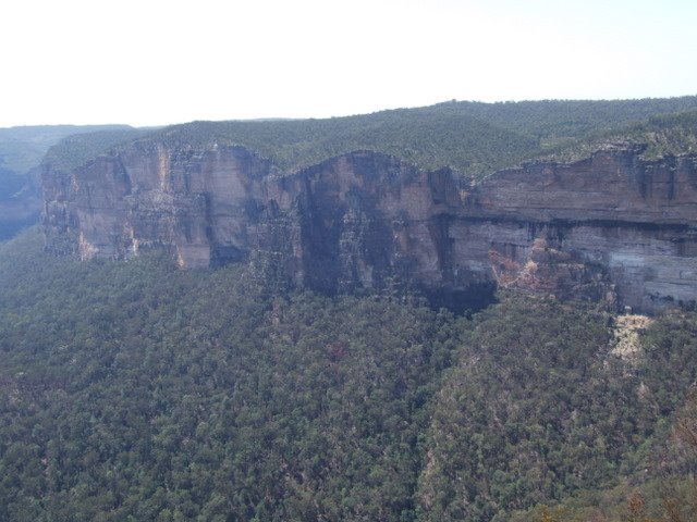
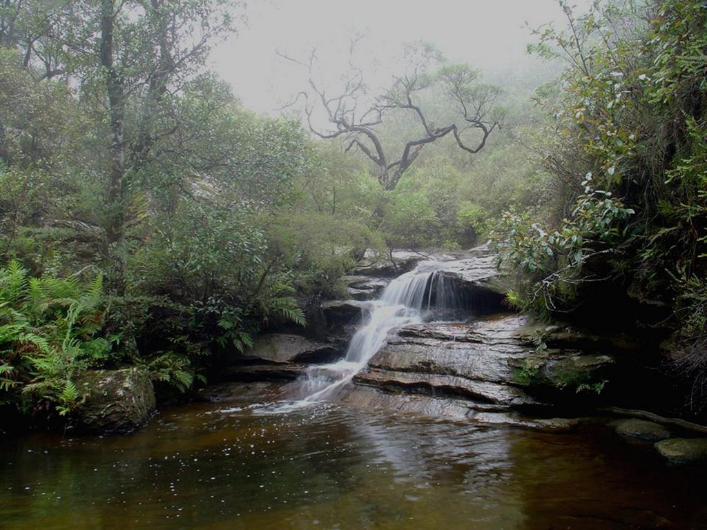
Photos of Blackheath
Blackheath Weather

Predicción: Overcast clouds
Temperatura: 5.8°
Humedad: 81%
Hora actual: 04:31 AM
Amanece: 06:24 AM
Anochece: 05:31 PM


