Distance between  Rudall and
  Peterborough
156.18 mi Straight Distance
225.94 mi Driving Distance
3 hours 31 mins Estimated Driving Time
The straight distance between Rudall (South Australia) and Peterborough (South Australia) is 156.18 mi, but the driving distance is 225.94 mi.
It takes 3 hours 58 mins to go from Rudall to Peterborough.
Driving directions from Rudall to Peterborough
Distance in kilometers
Straight distance: 251.30 km. Route distance: 363.53 km
Rudall, Australia
Latitude: -33.6874 // Longitude: 136.271
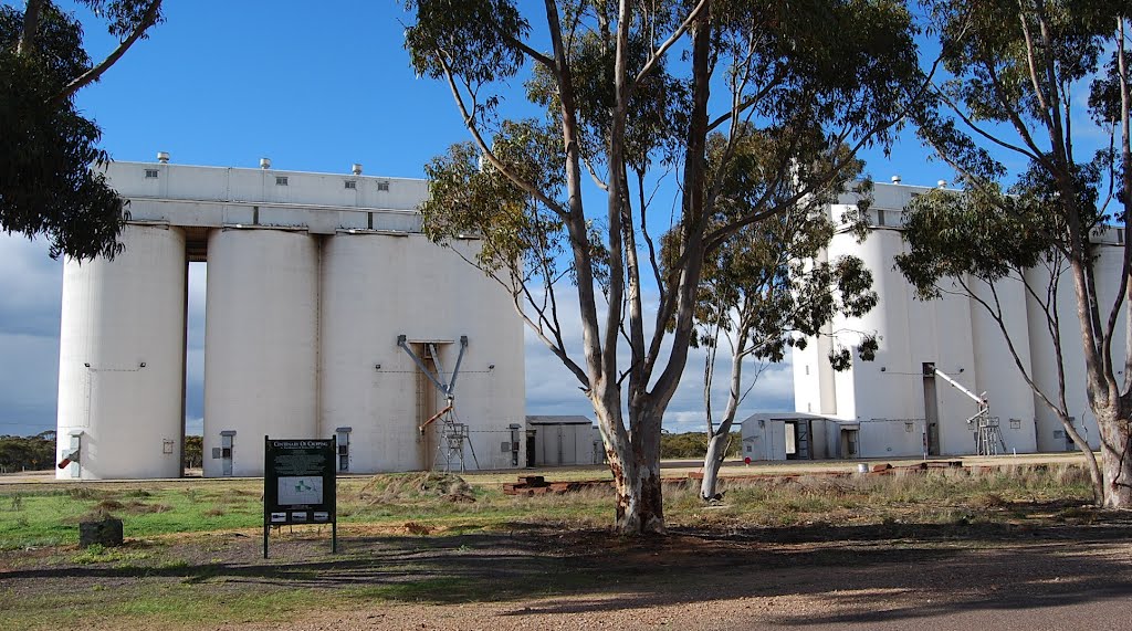
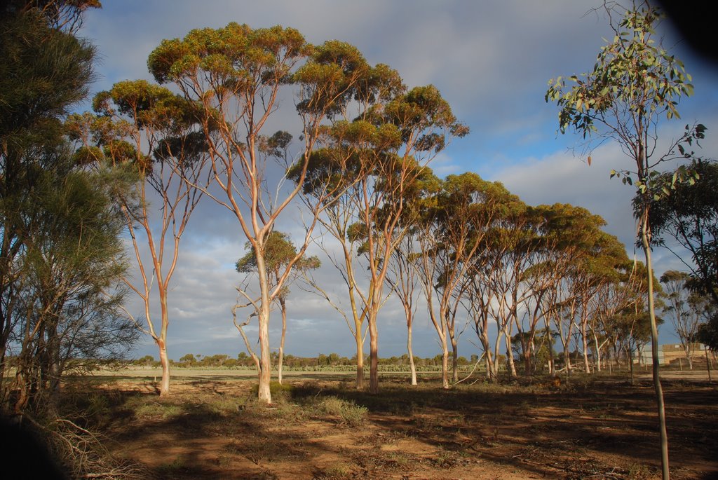
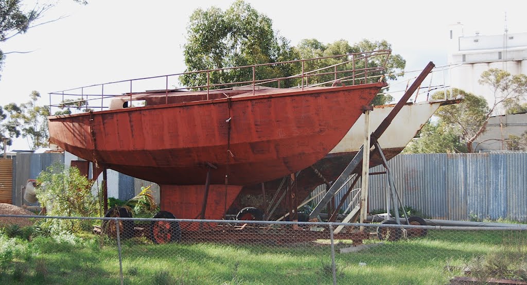
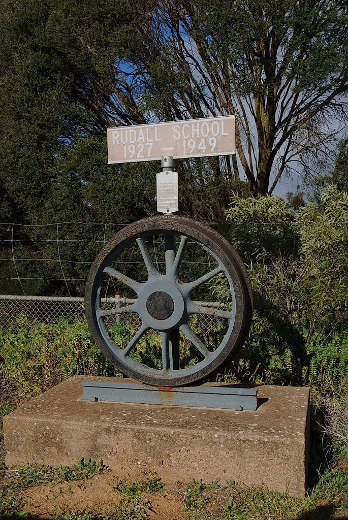
Photos of Rudall
Rudall Weather

Predicción: Clear sky
Temperatura: 17.2°
Humedad: 55%
Hora actual: 12:00 AM
Amanece: 09:18 PM
Anochece: 08:30 AM
Peterborough, Australia
Latitude: -32.9733 // Longitude: 138.838
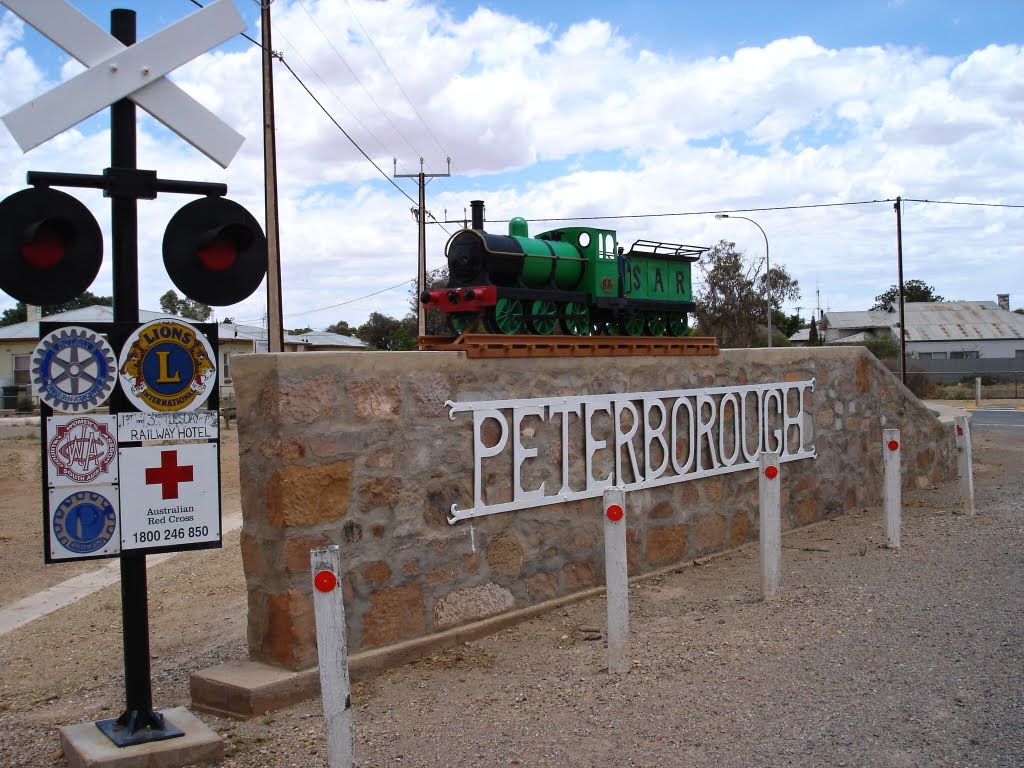
Photos of Peterborough
Peterborough Weather

Predicción: Scattered clouds
Temperatura: 19.5°
Humedad: 41%
Hora actual: 05:59 PM
Amanece: 06:37 AM
Anochece: 05:51 PM


