Distance between  Rosewhite and
  Weeragua
139.27 mi Straight Distance
252.08 mi Driving Distance
4 hours 33 mins Estimated Driving Time
The straight distance between Rosewhite (Victoria) and Weeragua (Victoria) is 139.27 mi, but the driving distance is 252.08 mi.
It takes to go from Rosewhite to Weeragua.
Driving directions from Rosewhite to Weeragua
Distance in kilometers
Straight distance: 224.08 km. Route distance: 405.60 km
Rosewhite, Australia
Latitude: -36.5843 // Longitude: 146.876
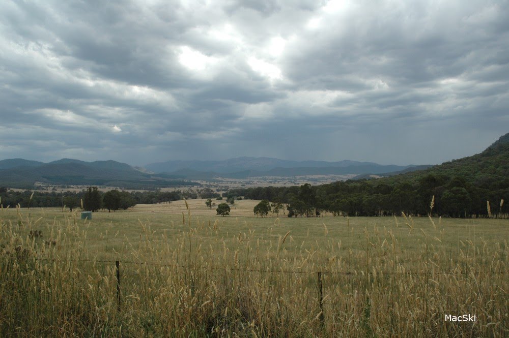
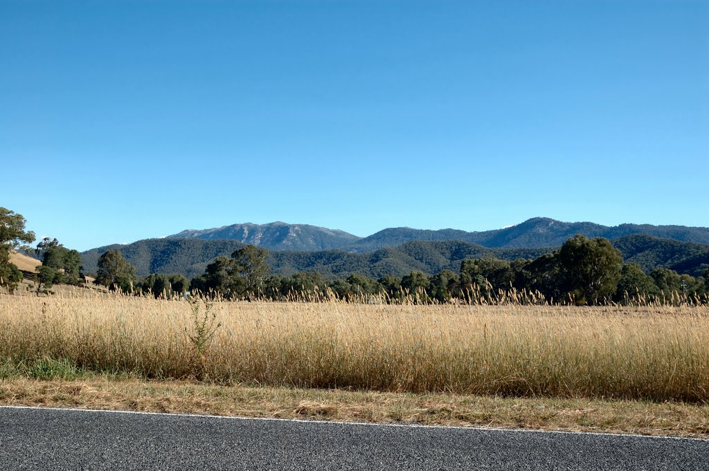
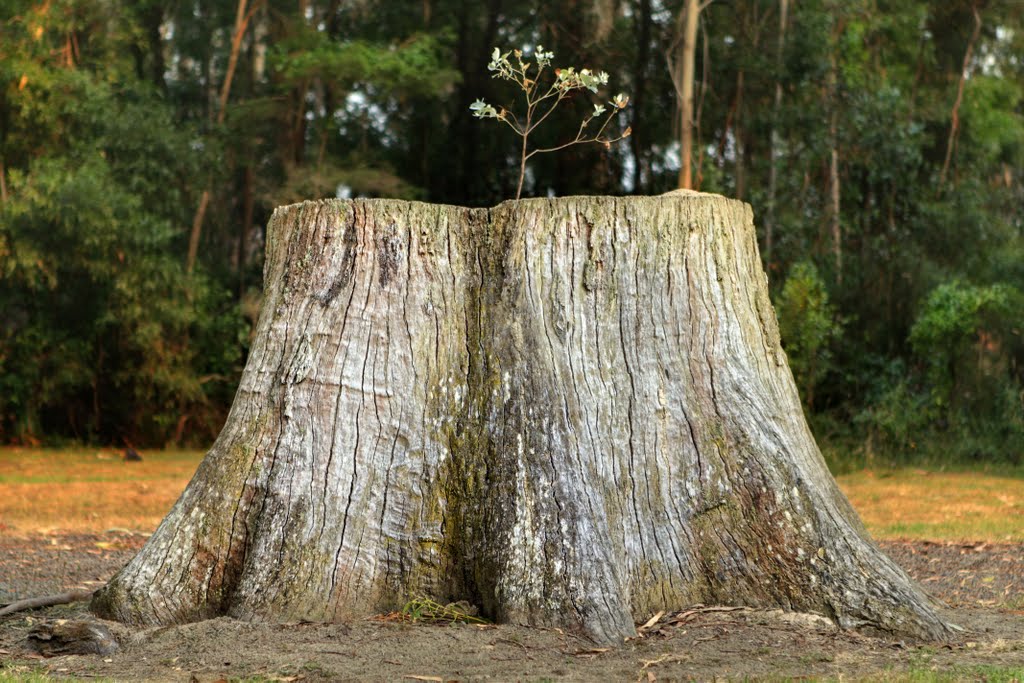
Photos of Rosewhite
Rosewhite Weather

Predicción: Overcast clouds
Temperatura: 8.6°
Humedad: 87%
Hora actual: 12:00 AM
Amanece: 08:40 PM
Anochece: 07:42 AM
Weeragua, Australia
Latitude: -37.3731 // Longitude: 149.198
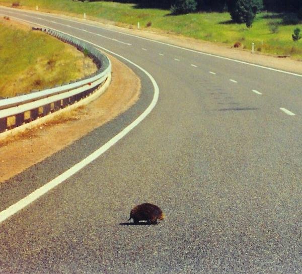
Photos of Weeragua
Weeragua Weather

Predicción: Overcast clouds
Temperatura: 11.3°
Humedad: 93%
Hora actual: 12:00 AM
Amanece: 08:32 PM
Anochece: 07:32 AM


