Distance between  Rosedale and
  Gelliondale
277.69 mi Straight Distance
384.13 mi Driving Distance
6 hours 48 mins Estimated Driving Time
The straight distance between Rosedale (New South Wales) and Gelliondale (Victoria) is 277.69 mi, but the driving distance is 384.13 mi.
It takes to go from Rosedale to Gelliondale.
Driving directions from Rosedale to Gelliondale
Distance in kilometers
Straight distance: 446.80 km. Route distance: 618.07 km
Rosedale, Australia
Latitude: -35.8164 // Longitude: 150.222
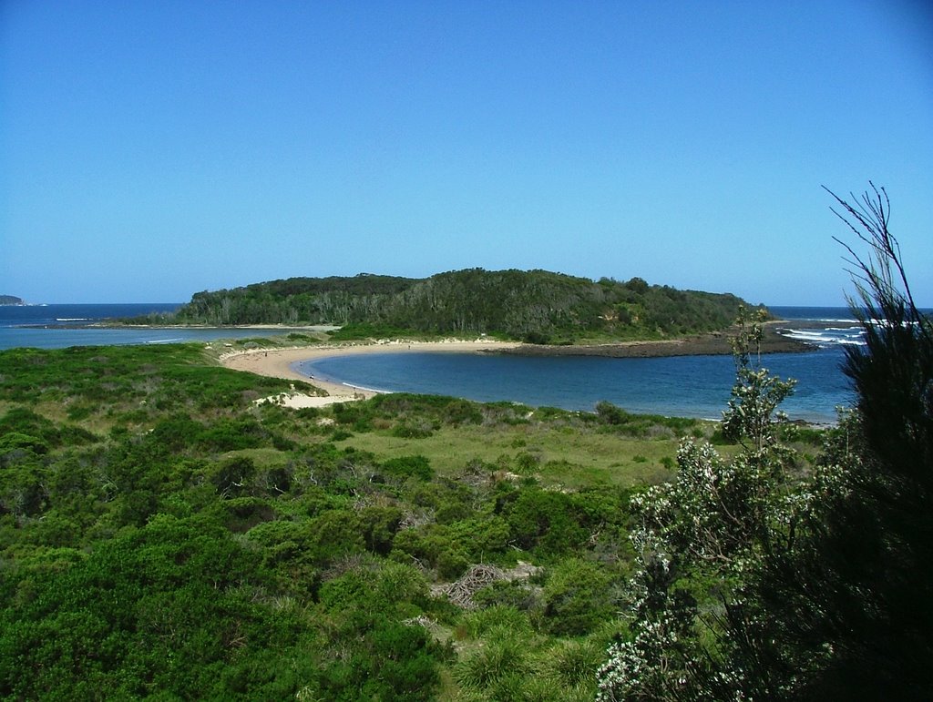
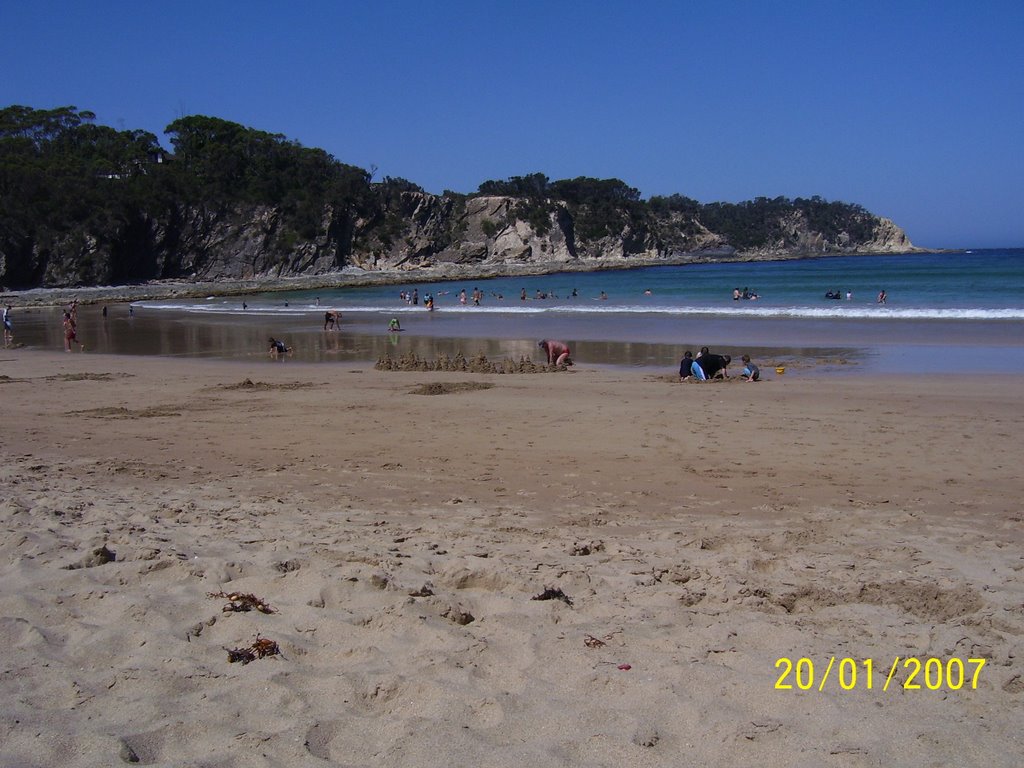
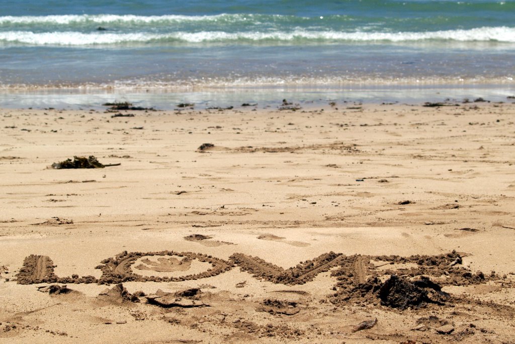
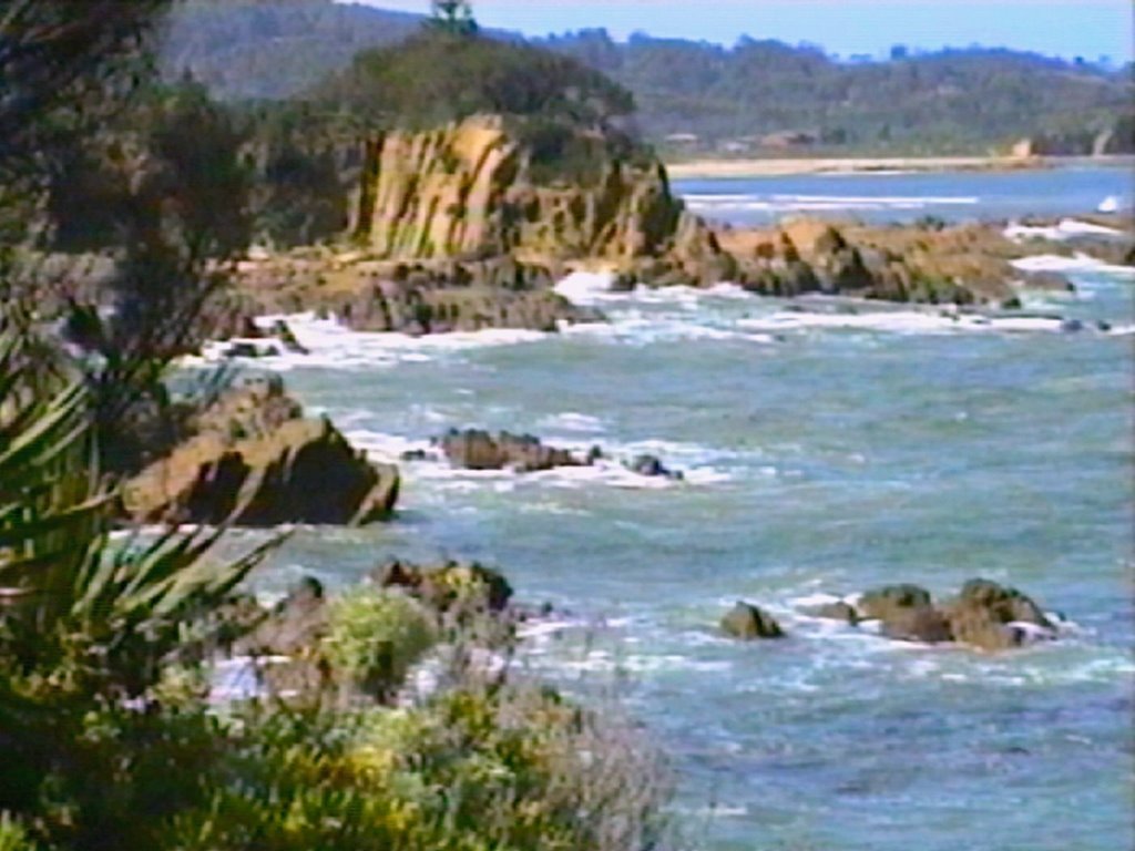
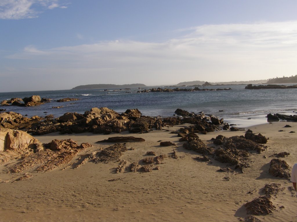
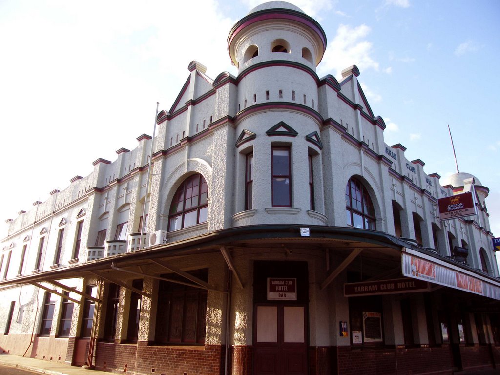
Photos of Rosedale
Rosedale Weather

Predicción: Overcast clouds
Temperatura: 19.9°
Humedad: 57%
Hora actual: 10:43 AM
Amanece: 06:27 AM
Anochece: 05:29 PM
Gelliondale, Australia
Latitude: -38.6195 // Longitude: 146.604
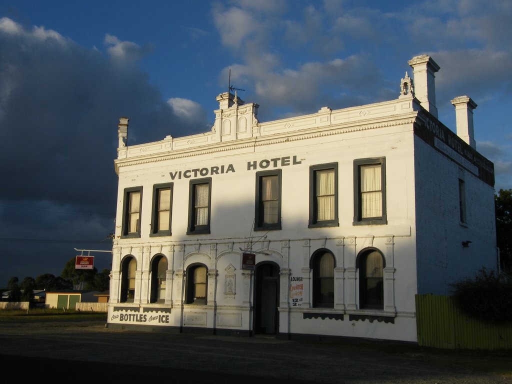
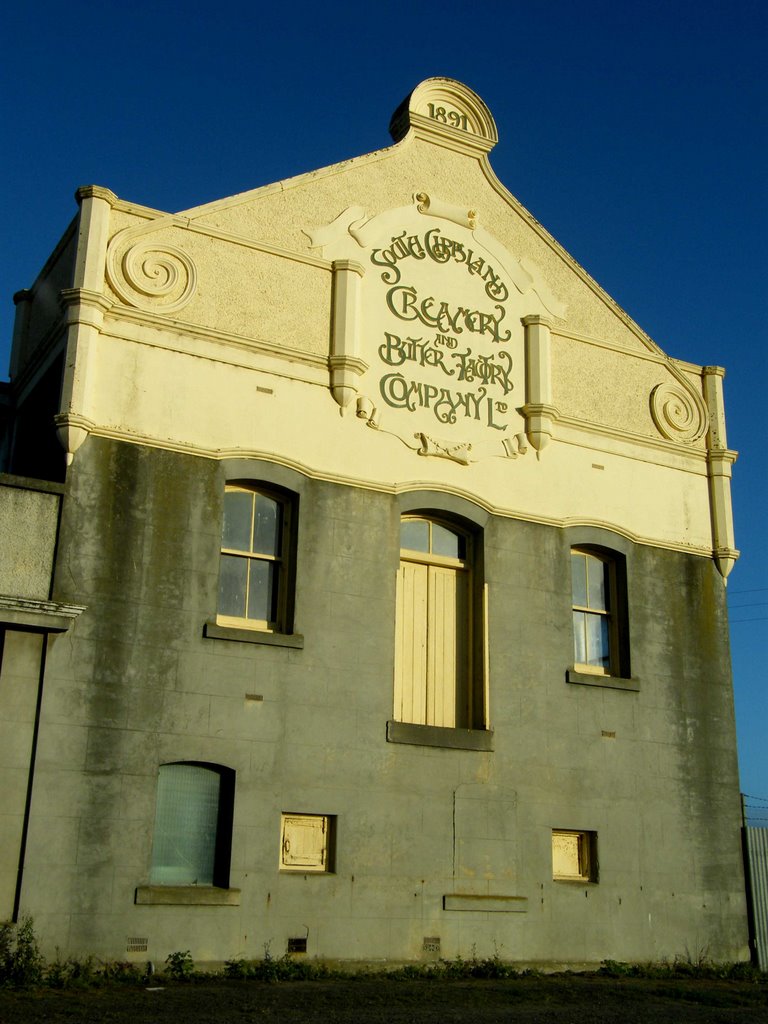
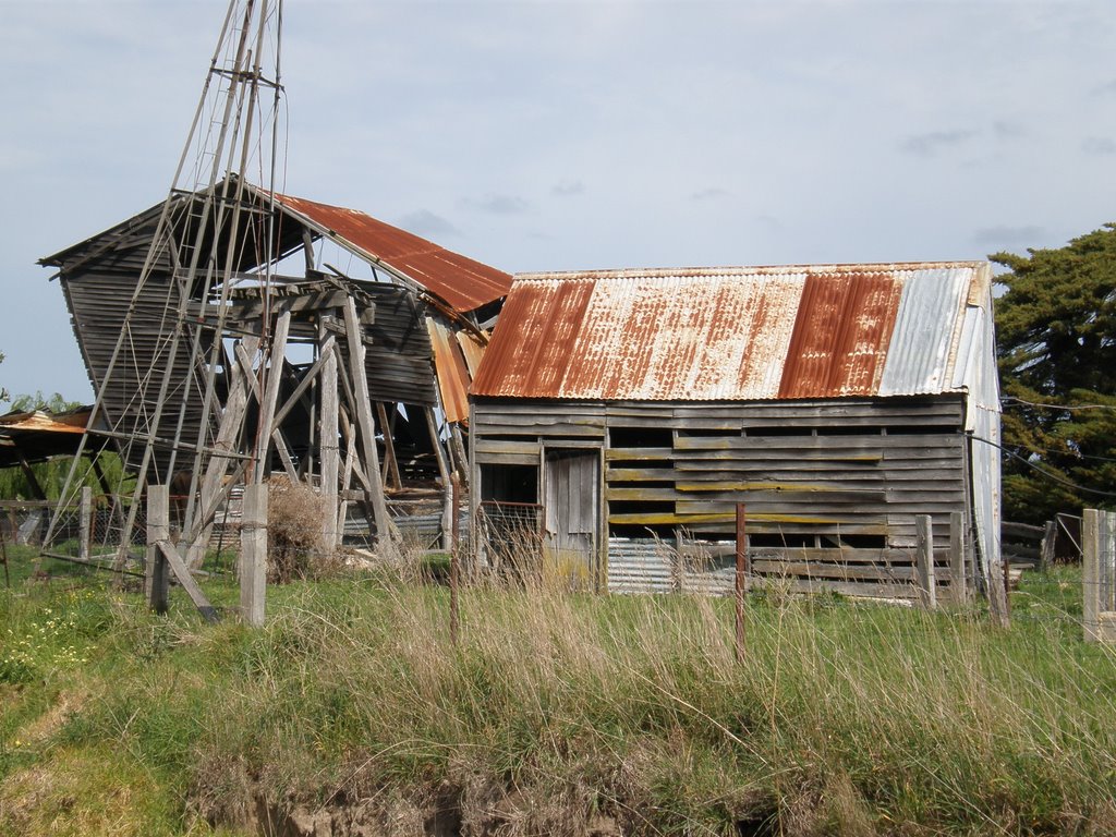
Photos of Gelliondale
Gelliondale Weather

Predicción: Overcast clouds
Temperatura: 14.3°
Humedad: 84%
Hora actual: 10:43 AM
Amanece: 06:45 AM
Anochece: 05:40 PM


