Distance between  Rosebery and
  Dooen
Dooen
60.43 mi Straight Distance
64.85 mi Driving Distance
1 hour 5 mins Estimated Driving Time
The straight distance between Rosebery (Victoria) and Dooen (Victoria) is 60.43 mi, but the driving distance is 64.85 mi.
It takes 11 hours 4 mins to go from Rosebery to Dooen.
Driving directions from Rosebery to Dooen
Distance in kilometers
Straight distance: 97.22 km. Route distance: 104.34 km
Rosebery, Australia
Latitude: -35.834 // Longitude: 142.423
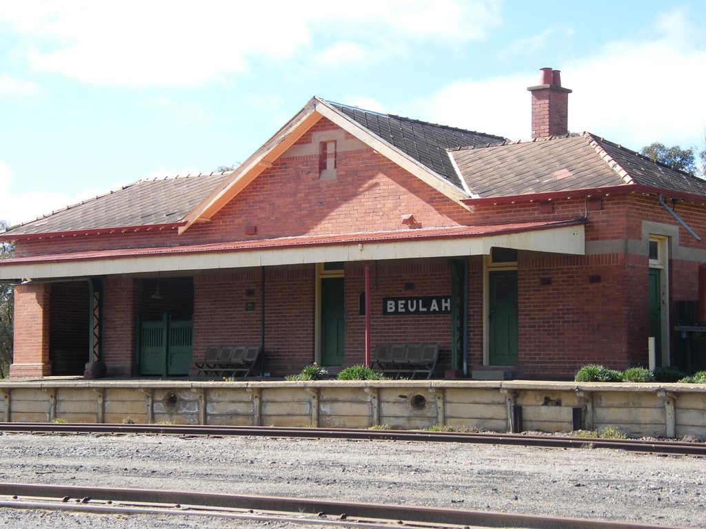
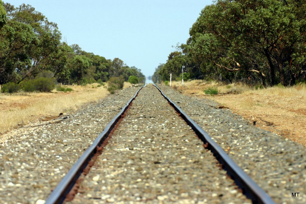
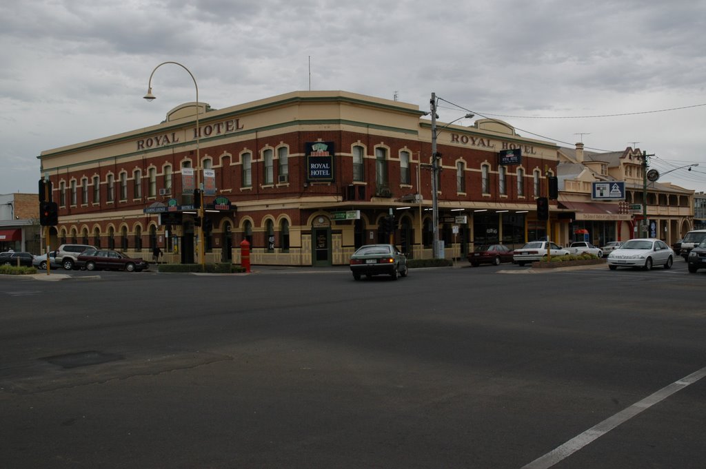
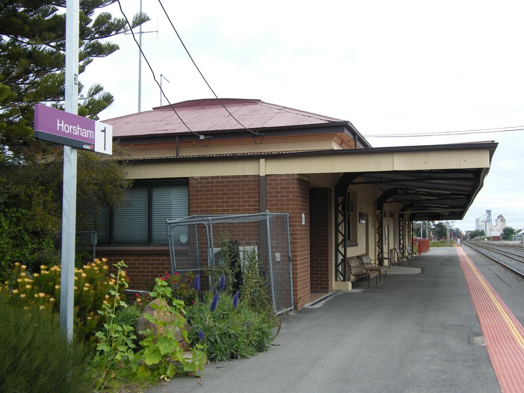
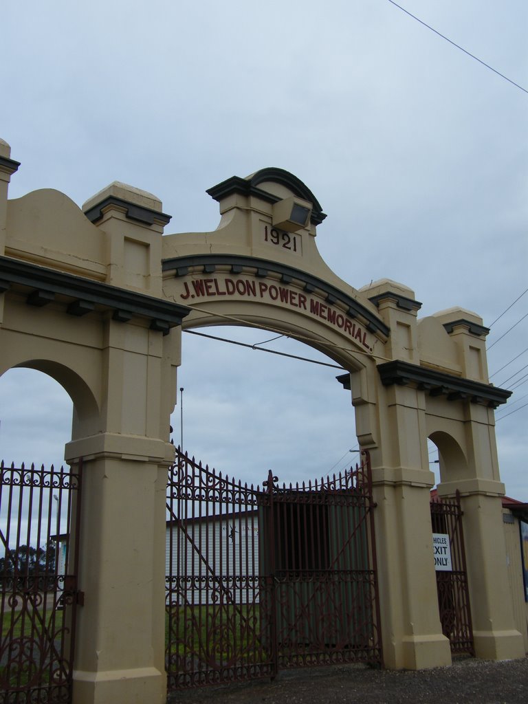
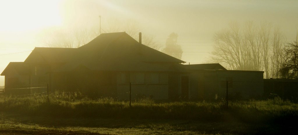
Photos of Rosebery
Rosebery Weather

Predicción: Scattered clouds
Temperatura: 21.1°
Humedad: 42%
Hora actual: 12:00 AM
Amanece: 08:56 PM
Anochece: 08:03 AM
Dooen, Australia
Latitude: -36.6902 // Longitude: 142.202
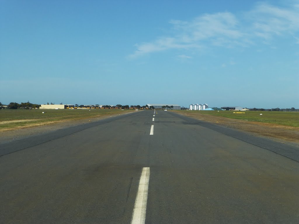
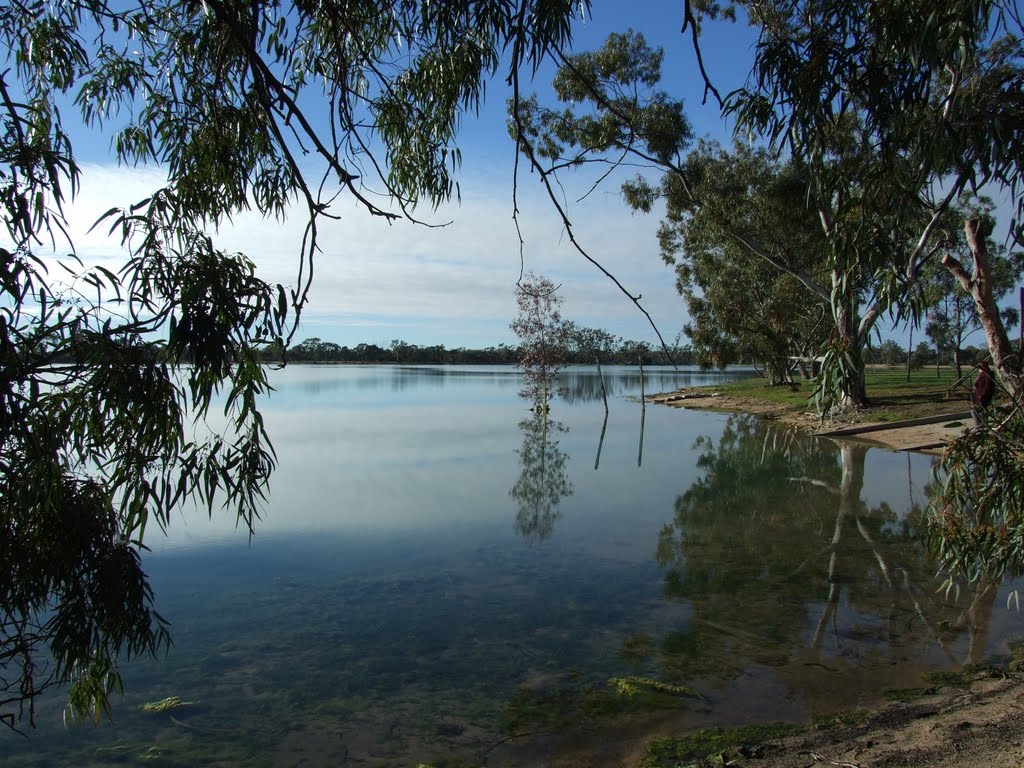
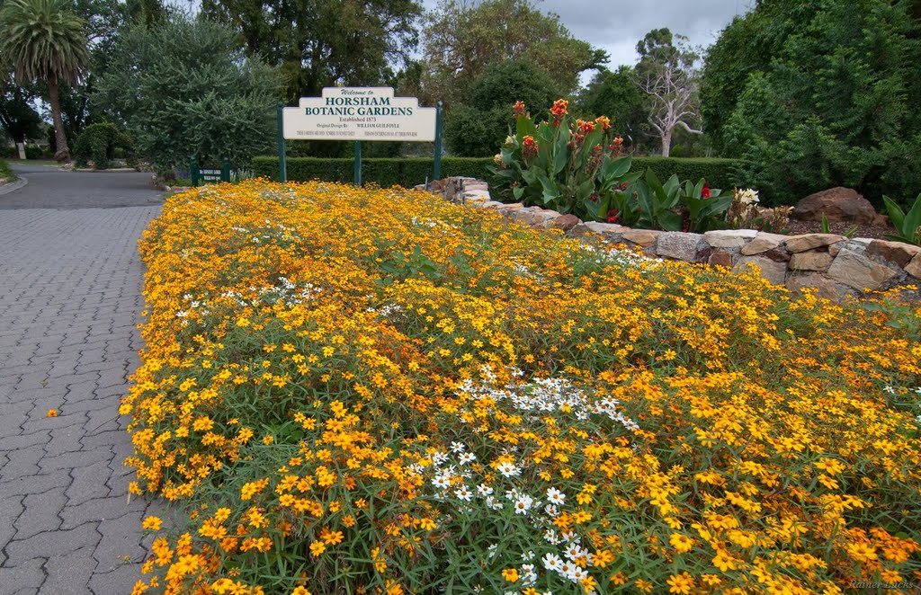
Photos of Dooen
Dooen Weather

Predicción: Few clouds
Temperatura: 20.7°
Humedad: 37%
Hora actual: 02:21 PM
Amanece: 06:57 AM
Anochece: 06:04 PM


