Distance between  Roelands and
  Erikin
155.16 mi Straight Distance
227.28 mi Driving Distance
3 hours 47 mins Estimated Driving Time
The straight distance between Roelands (Western Australia) and Erikin (Western Australia) is 155.16 mi, but the driving distance is 227.28 mi.
It takes to go from Roelands to Erikin.
Driving directions from Roelands to Erikin
Distance in kilometers
Straight distance: 249.65 km. Route distance: 365.70 km
Roelands, Australia
Latitude: -33.2881 // Longitude: 115.757
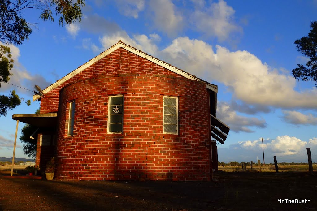
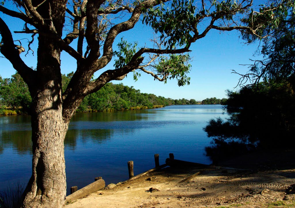
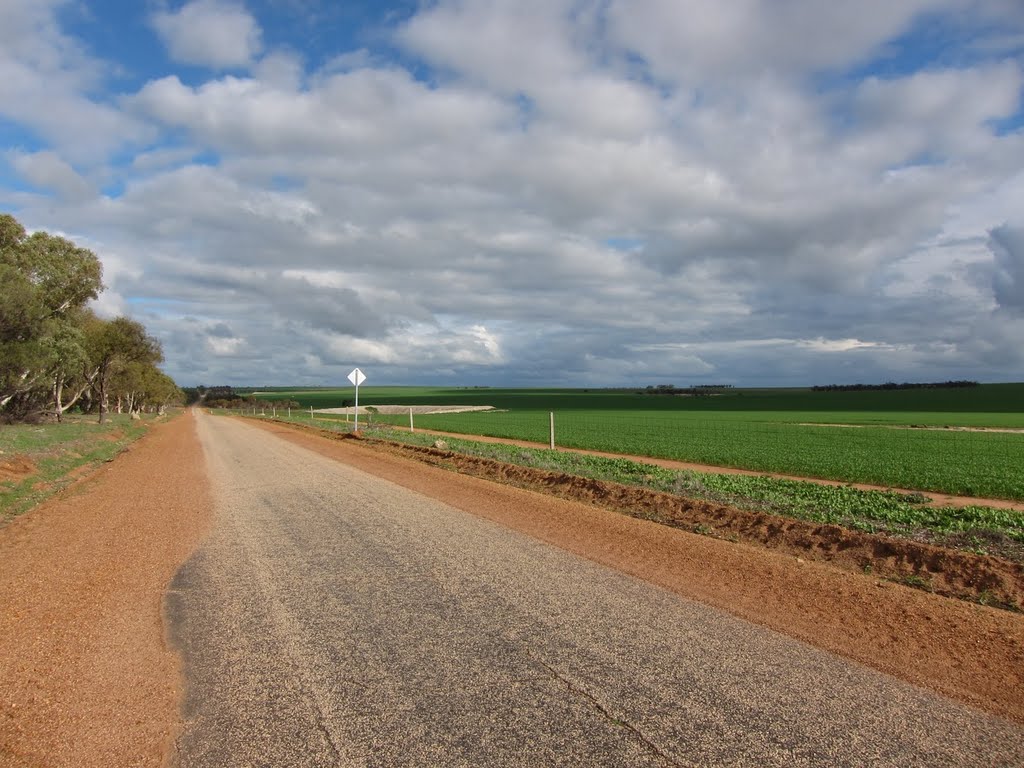
Photos of Roelands
Roelands Weather

Predicción: Clear sky
Temperatura: 26.2°
Humedad: 27%
Hora actual: 09:47 AM
Amanece: 06:42 AM
Anochece: 05:49 PM
Erikin, Australia
Latitude: -31.933 // Longitude: 117.883
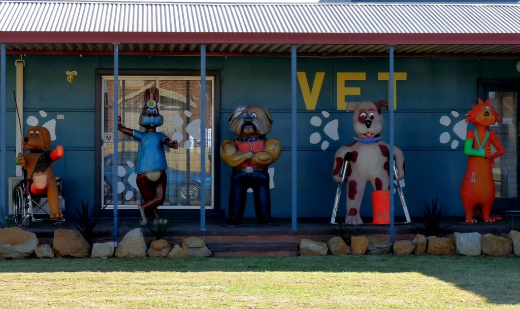
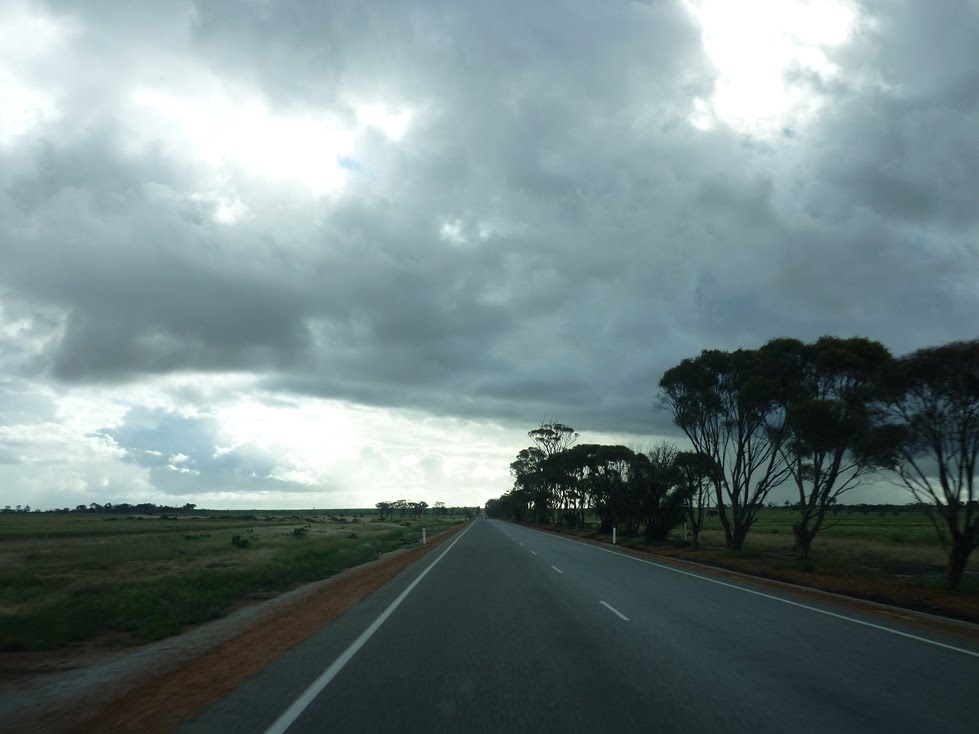
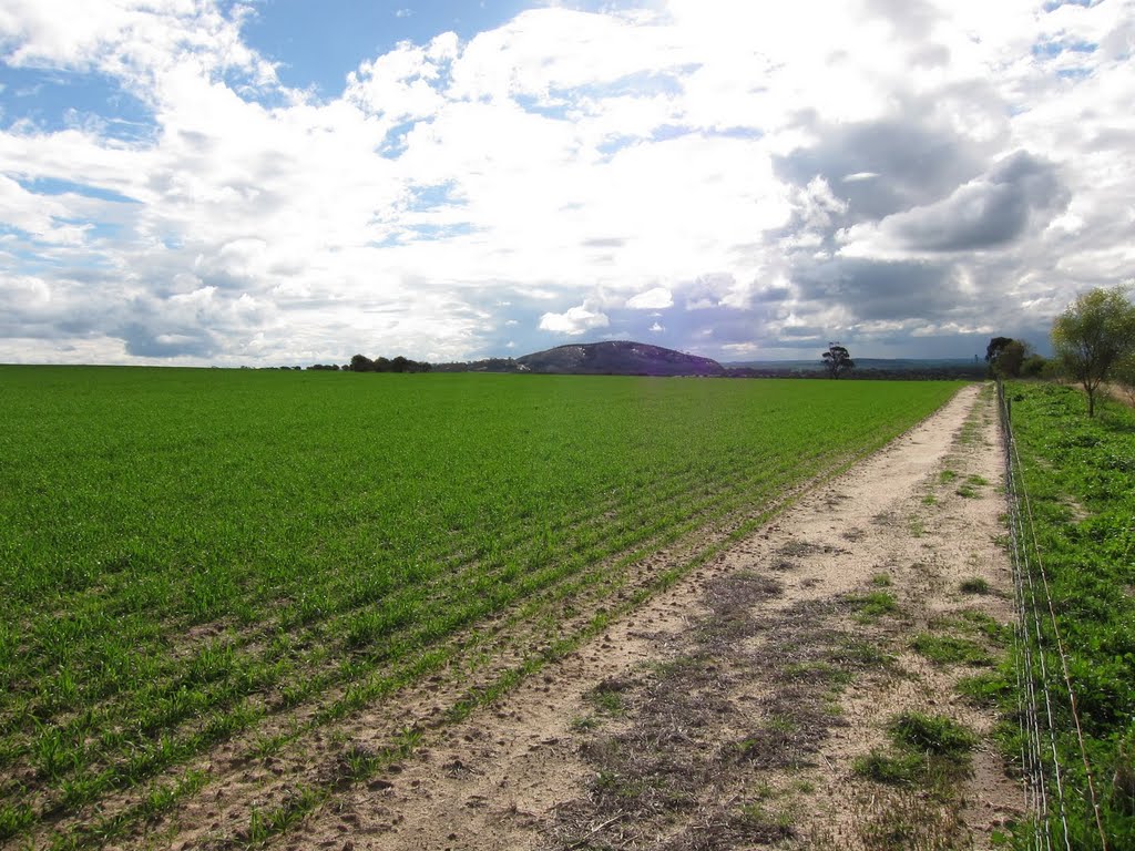
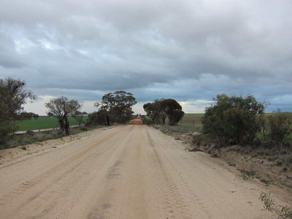
Photos of Erikin
Erikin Weather

Predicción: Clear sky
Temperatura: 21.4°
Humedad: 35%
Hora actual: 08:00 AM
Amanece: 06:32 AM
Anochece: 05:42 PM


