Distance between  Rifle Range and
  Pinjarra
2,210.27 mi Straight Distance
2,574.55 mi Driving Distance
1 day 16 hours Estimated Driving Time
The straight distance between Rifle Range (Queensland) and Pinjarra (Western Australia) is 2,210.27 mi, but the driving distance is 2,574.55 mi.
It takes 1 day 23 hours to go from Rifle Range to Pinjarra.
Driving directions from Rifle Range to Pinjarra
Distance in kilometers
Straight distance: 3,556.33 km. Route distance: 4,142.46 km
Rifle Range, Australia
Latitude: -27.4597 // Longitude: 152.531
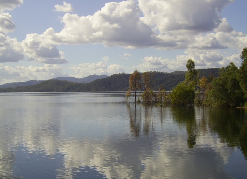
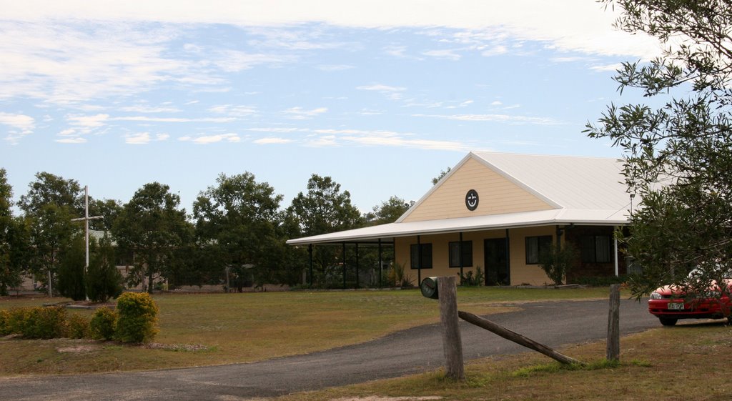
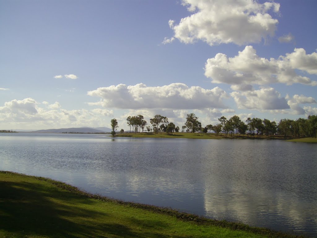
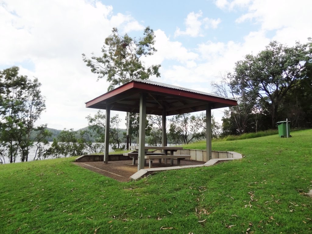
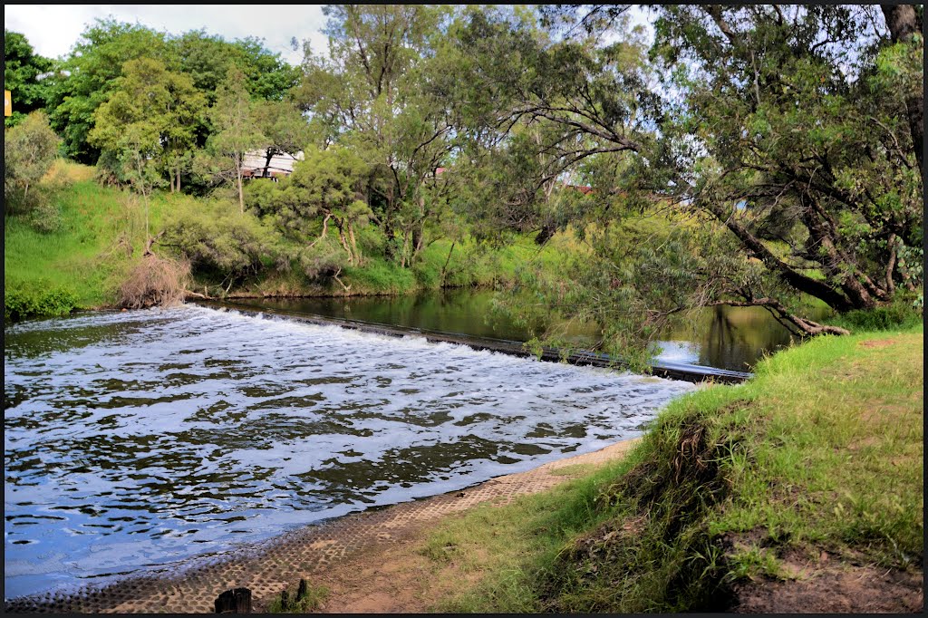
Photos of Rifle Range
Rifle Range Weather

Predicción: Clear sky
Temperatura: 17.4°
Humedad: 90%
Hora actual: 04:50 AM
Amanece: 06:08 AM
Anochece: 05:28 PM
Pinjarra, Australia
Latitude: -32.6289 // Longitude: 115.875
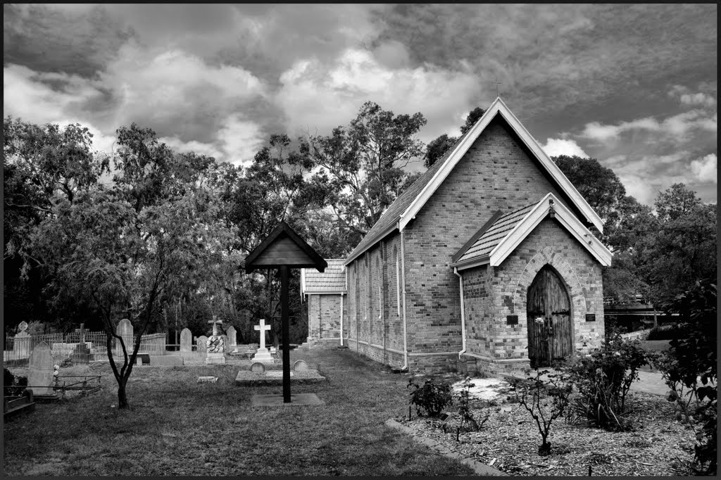
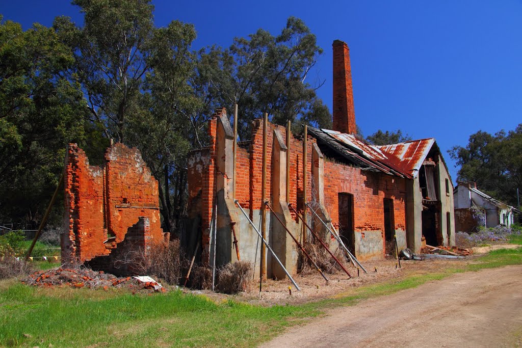
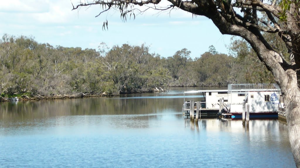
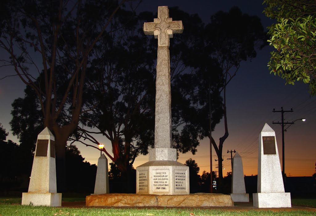
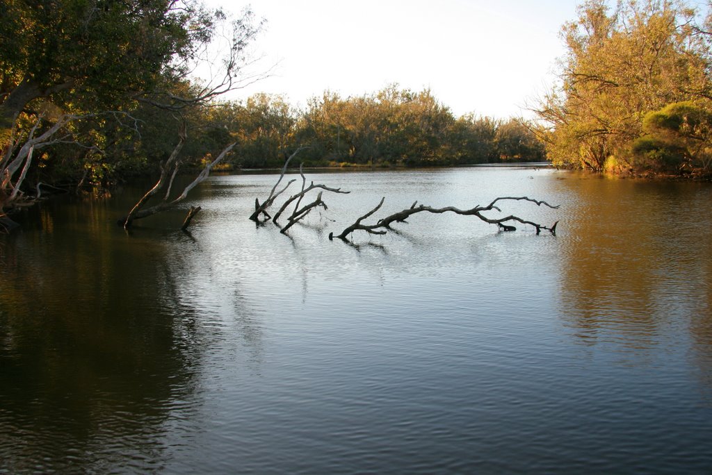
Photos of Pinjarra
Pinjarra Weather

Predicción: Clear sky
Temperatura: 20.0°
Humedad: 34%
Hora actual: 02:50 AM
Amanece: 06:41 AM
Anochece: 05:50 PM


