Distance between  Rhyndaston and
  Pipers River
96.74 mi Straight Distance
114.62 mi Driving Distance
2 hours 14 mins Estimated Driving Time
The straight distance between Rhyndaston (Tasmania) and Pipers River (Tasmania) is 96.74 mi, but the driving distance is 114.62 mi.
It takes 2 hours 20 mins to go from Rhyndaston to Pipers River.
Driving directions from Rhyndaston to Pipers River
Distance in kilometers
Straight distance: 155.66 km. Route distance: 184.43 km
Rhyndaston, Australia
Latitude: -42.4796 // Longitude: 147.385
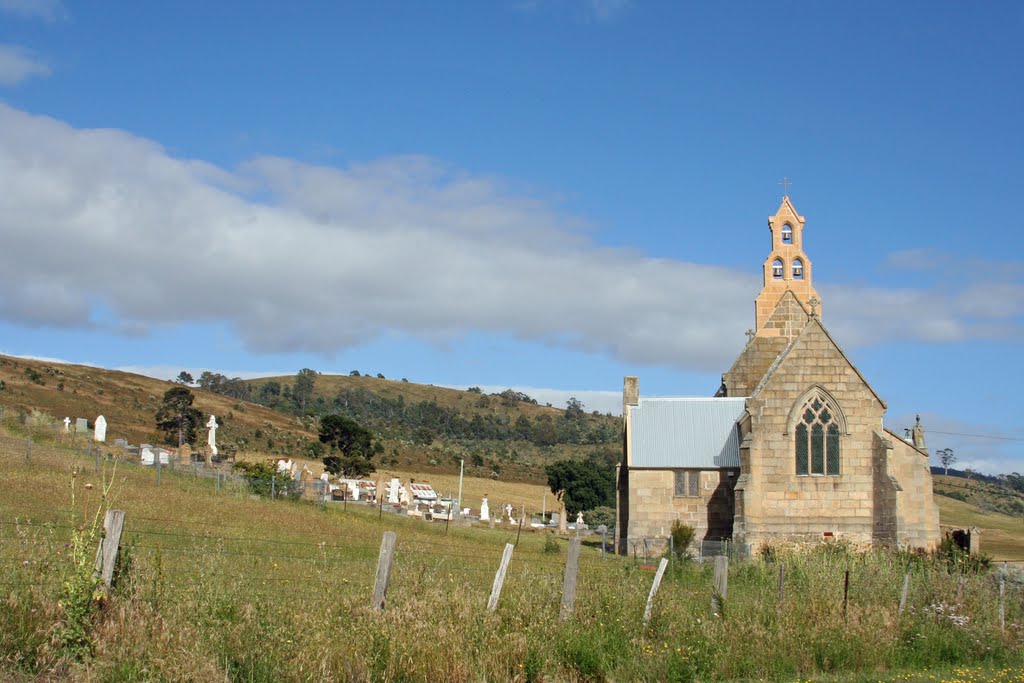
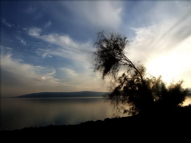
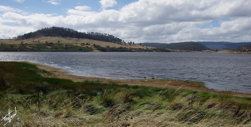
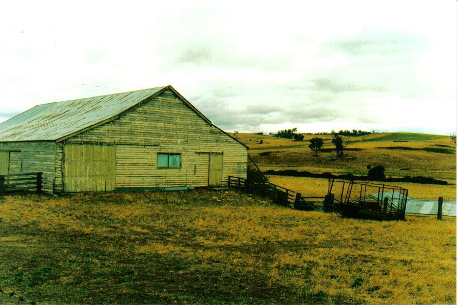
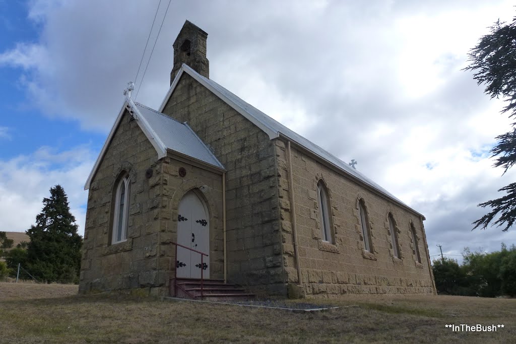
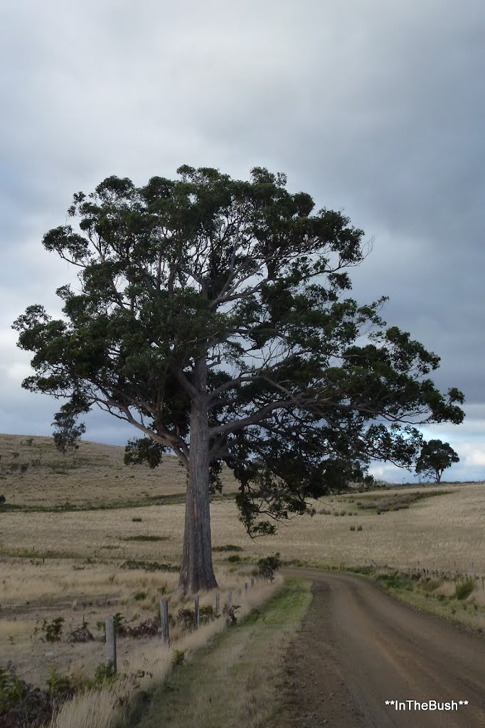
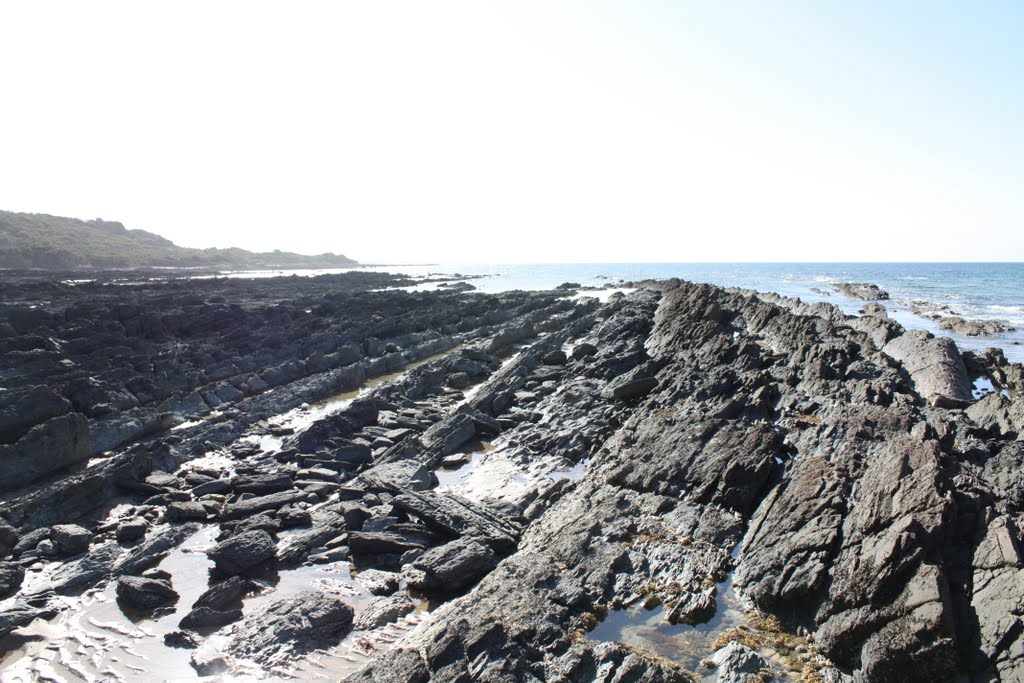
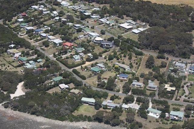
Photos of Rhyndaston
Rhyndaston Weather

Predicción: Overcast clouds
Temperatura: 11.3°
Humedad: 58%
Hora actual: 12:00 AM
Amanece: 08:47 PM
Anochece: 07:31 AM
Pipers River, Australia
Latitude: -41.0984 // Longitude: 147.077
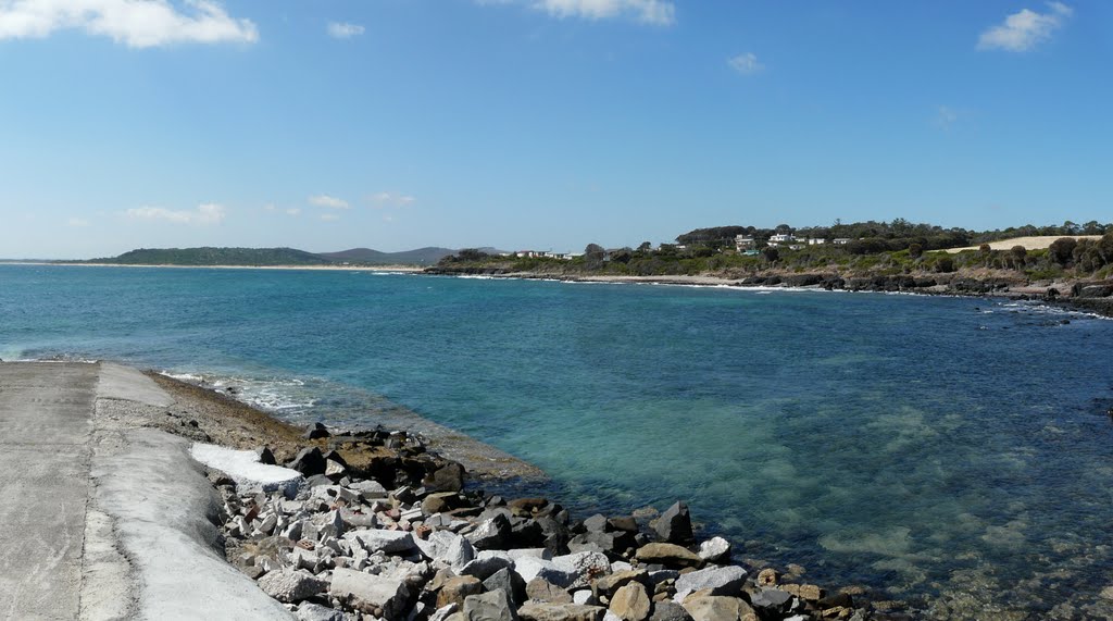
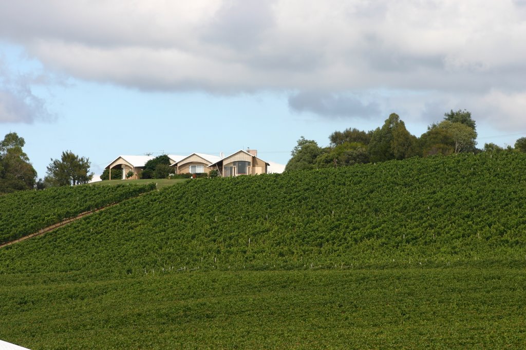
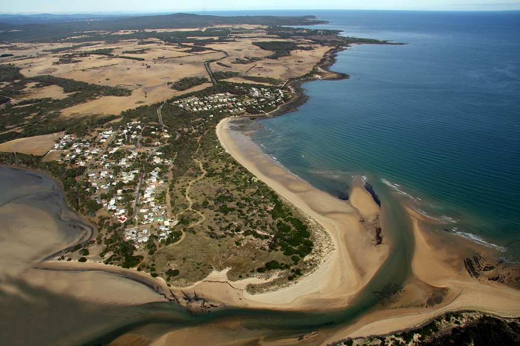
Photos of Pipers River
Pipers River Weather

Predicción: Clear sky
Temperatura: 14.6°
Humedad: 46%
Hora actual: 12:00 AM
Amanece: 08:46 PM
Anochece: 07:34 AM


