Distance between  Rhyndaston and
  Nugent
24.69 mi Straight Distance
40.94 mi Driving Distance
1 hour 4 mins Estimated Driving Time
The straight distance between Rhyndaston (Tasmania) and Nugent (Tasmania) is 24.69 mi, but the driving distance is 40.94 mi.
It takes to go from Rhyndaston to Nugent.
Driving directions from Rhyndaston to Nugent
Distance in kilometers
Straight distance: 39.73 km. Route distance: 65.87 km
Rhyndaston, Australia
Latitude: -42.4796 // Longitude: 147.385
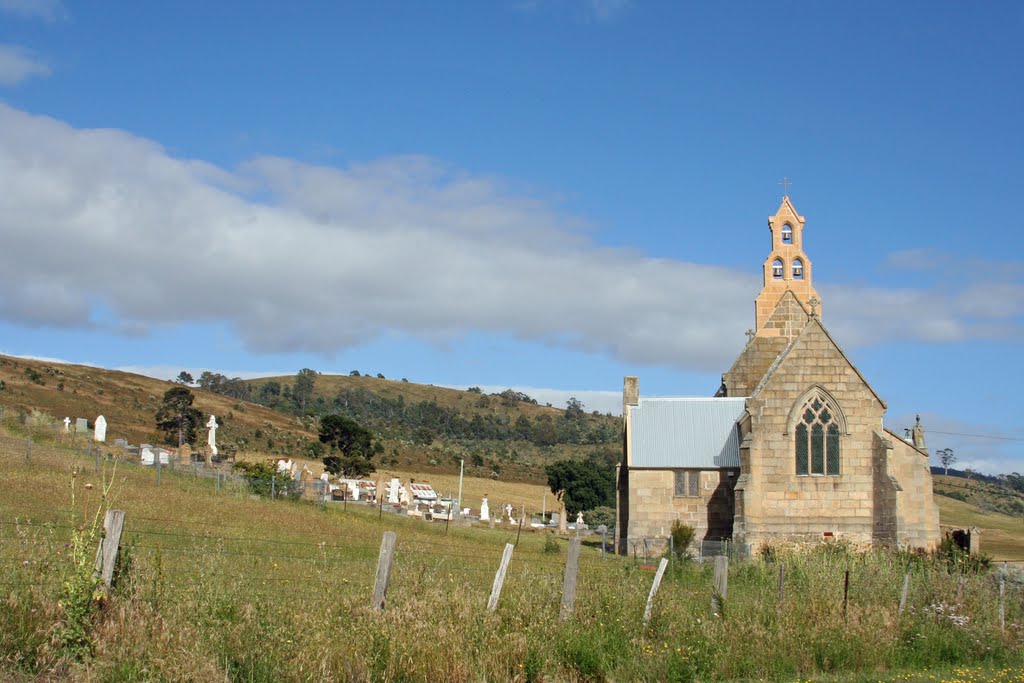
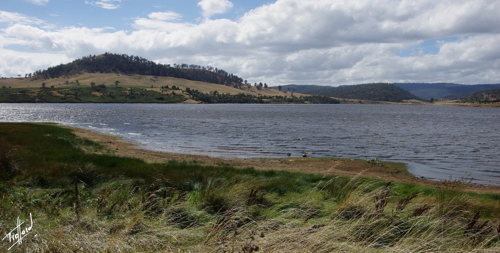
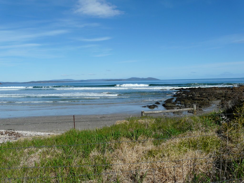
Photos of Rhyndaston
Rhyndaston Weather

Predicción: Scattered clouds
Temperatura: 6.3°
Humedad: 82%
Hora actual: 12:00 AM
Amanece: 08:44 PM
Anochece: 07:36 AM
Nugent, Australia
Latitude: -42.7144 // Longitude: 147.751
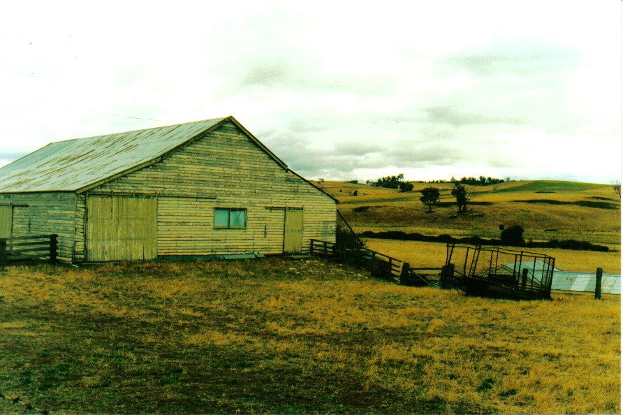
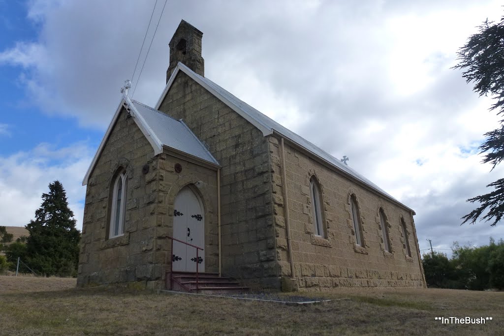
Photos of Nugent
Nugent Weather

Predicción: Broken clouds
Temperatura: 7.0°
Humedad: 90%
Hora actual: 12:00 AM
Amanece: 08:43 PM
Anochece: 07:34 AM


