Distance between  Renmark and
  Millicent
237.63 mi Straight Distance
287.66 mi Driving Distance
4 hours 56 mins Estimated Driving Time
The straight distance between Renmark (South Australia) and Millicent (South Australia) is 237.63 mi, but the driving distance is 287.66 mi.
It takes 5 hours 55 mins to go from Renmark to Millicent.
Driving directions from Renmark to Millicent
Distance in kilometers
Straight distance: 382.35 km. Route distance: 462.84 km
Renmark, Australia
Latitude: -34.1706 // Longitude: 140.75
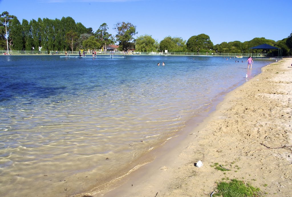
Photos of Renmark
Renmark Weather

Predicción: Overcast clouds
Temperatura: 15.7°
Humedad: 47%
Hora actual: 11:27 AM
Amanece: 06:33 AM
Anochece: 05:38 PM
Millicent, Australia
Latitude: -37.5949 // Longitude: 140.354
Photos of Millicent
Millicent Weather

Predicción: Broken clouds
Temperatura: 17.0°
Humedad: 51%
Hora actual: 11:27 AM
Amanece: 06:38 AM
Anochece: 05:36 PM


