Distance between  Red Lion and
  Korong Vale
56.20 mi Straight Distance
71.20 mi Driving Distance
1 hour 40 mins Estimated Driving Time
The straight distance between Red Lion (Victoria) and Korong Vale (Victoria) is 56.20 mi, but the driving distance is 71.20 mi.
It takes 1 hour 52 mins to go from Red Lion to Korong Vale.
Driving directions from Red Lion to Korong Vale
Distance in kilometers
Straight distance: 90.42 km. Route distance: 114.56 km
Red Lion, Australia
Latitude: -37.1684 // Longitude: 143.759
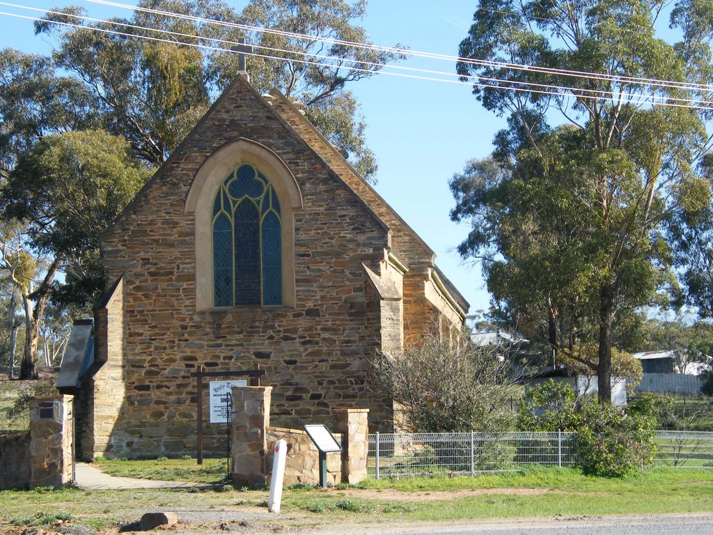
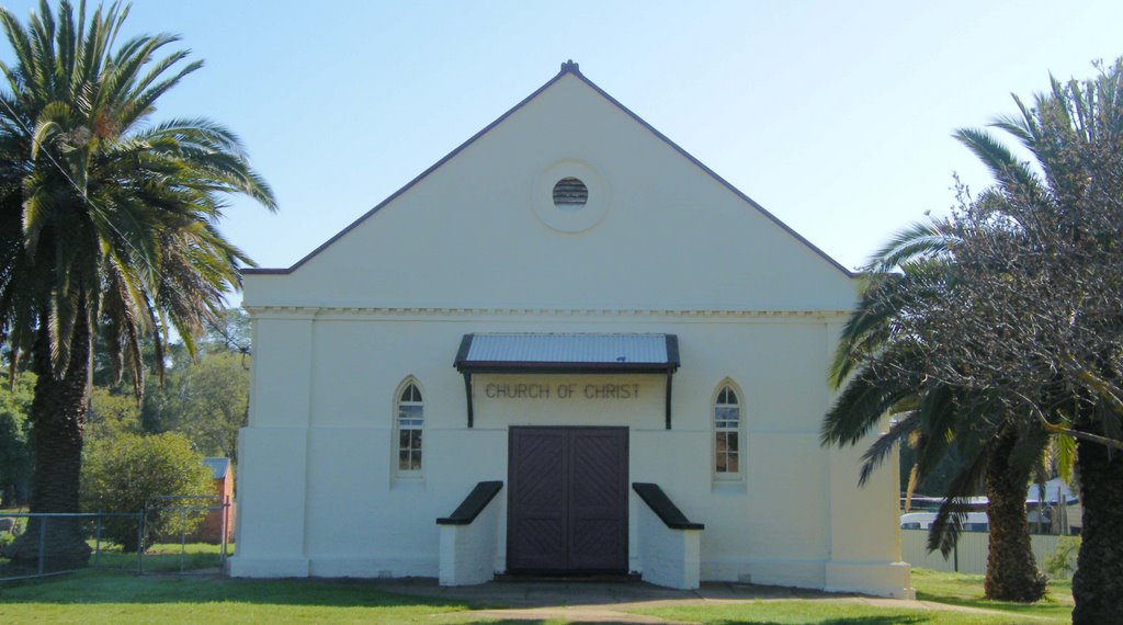
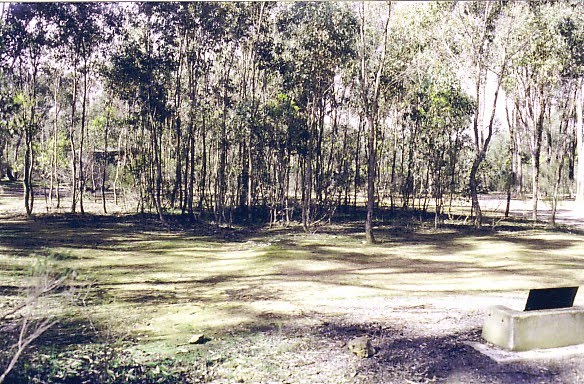
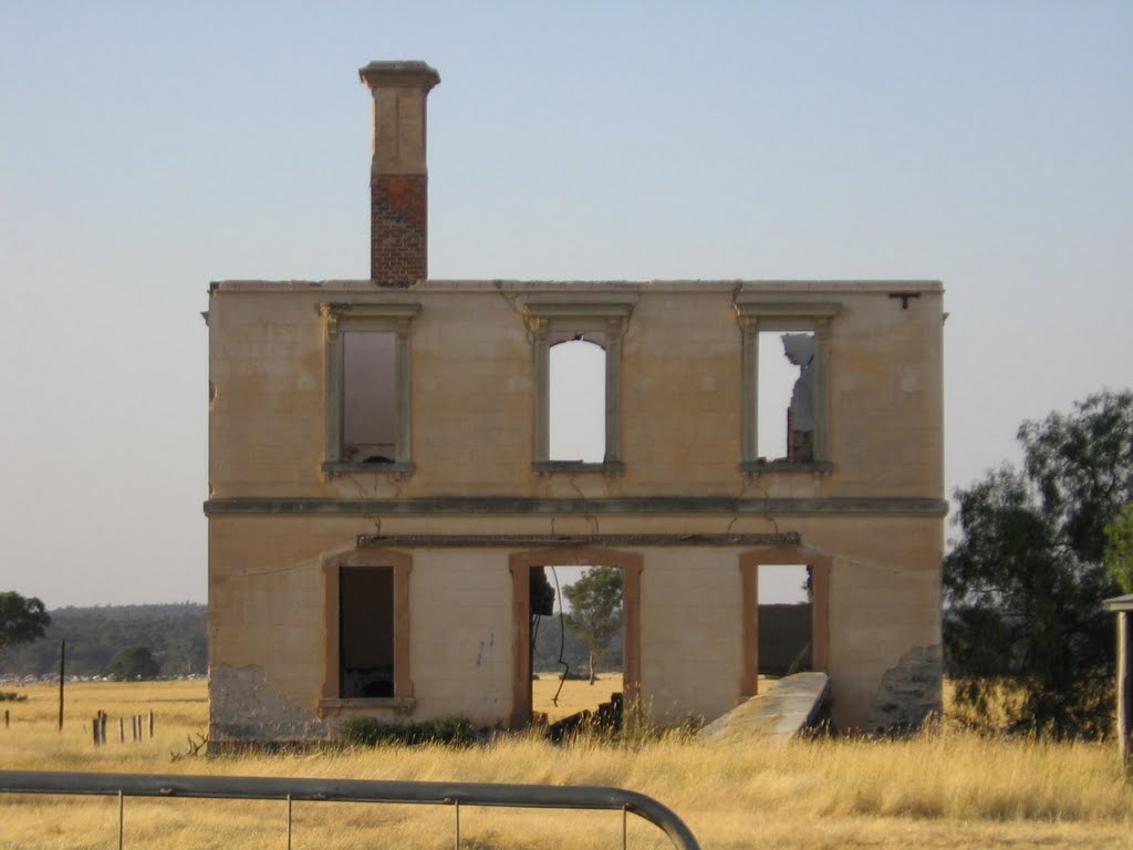
Photos of Red Lion
Red Lion Weather

Predicción: Broken clouds
Temperatura: 11.0°
Humedad: 64%
Hora actual: 12:00 AM
Amanece: 08:54 PM
Anochece: 07:54 AM
Korong Vale, Australia
Latitude: -36.3563 // Longitude: 143.703
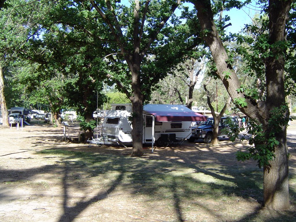
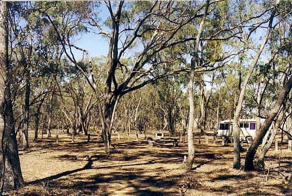
Photos of Korong Vale
Korong Vale Weather

Predicción: Scattered clouds
Temperatura: 15.5°
Humedad: 58%
Hora actual: 09:38 AM
Amanece: 06:53 AM
Anochece: 05:54 PM


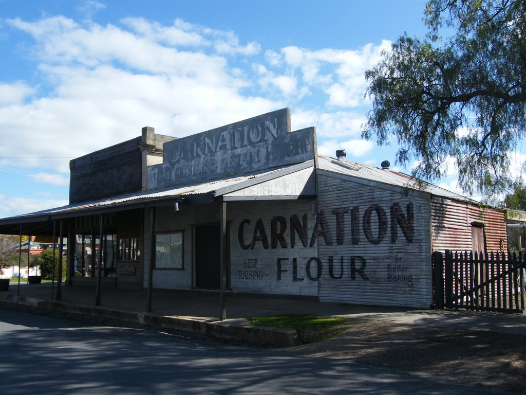


![Former Dunach State School [1874] (left) and former Amherst Hospital Isolation Unit [c.1909]. Both buildings were relocated here and opened as the Talbot Arts and Historical Museum in 1984 Former Dunach State School [1874] (left) and former Amherst Hospital Isolation Unit [c.1909]. Both buildings were relocated here and opened as the Talbot Arts and Historical Museum in 1984](/photos/44194349.jpg)

