Distance between  Razorback and
  Ophir
Ophir
106.24 mi Straight Distance
159.48 mi Driving Distance
3 hours 24 mins Estimated Driving Time
The straight distance between Razorback (New South Wales) and Ophir (New South Wales) is 106.24 mi, but the driving distance is 159.48 mi.
It takes to go from Razorback to Ophir.
Driving directions from Razorback to Ophir
Distance in kilometers
Straight distance: 170.94 km. Route distance: 256.61 km
Razorback, Australia
Latitude: -34.1579 // Longitude: 150.654
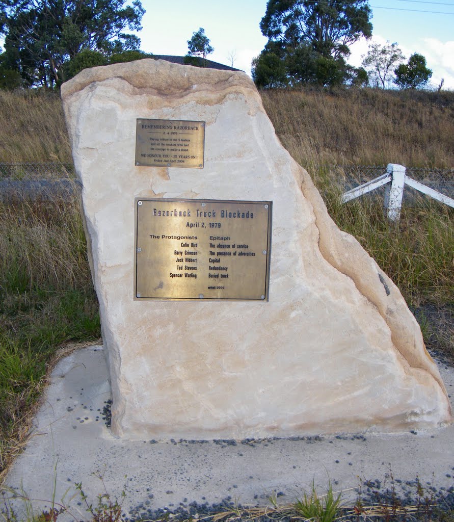
Photos of Razorback
Razorback Weather

Predicción: Broken clouds
Temperatura: 20.0°
Humedad: 57%
Hora actual: 03:52 PM
Amanece: 06:22 AM
Anochece: 05:30 PM
Ophir, Australia
Latitude: -33.1693 // Longitude: 149.239
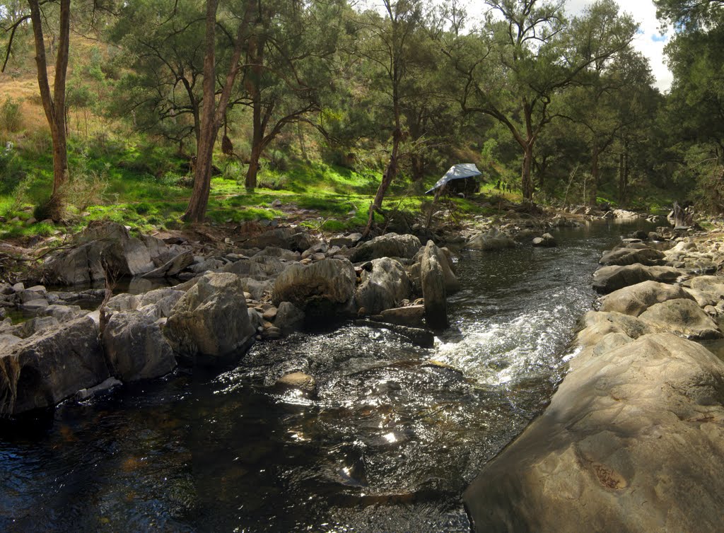
Photos of Ophir
Ophir Weather

Predicción: Scattered clouds
Temperatura: 15.5°
Humedad: 38%
Hora actual: 10:00 AM
Amanece: 06:27 AM
Anochece: 05:37 PM


