Distance between  Ravensthorpe and
  Pingaring
100.09 mi Straight Distance
129.64 mi Driving Distance
1 hour 59 mins Estimated Driving Time
The straight distance between Ravensthorpe (Western Australia) and Pingaring (Western Australia) is 100.09 mi, but the driving distance is 129.64 mi.
It takes 2 hours 27 mins to go from Ravensthorpe to Pingaring.
Driving directions from Ravensthorpe to Pingaring
Distance in kilometers
Straight distance: 161.04 km. Route distance: 208.59 km
Ravensthorpe, Australia
Latitude: -33.5816 // Longitude: 120.048
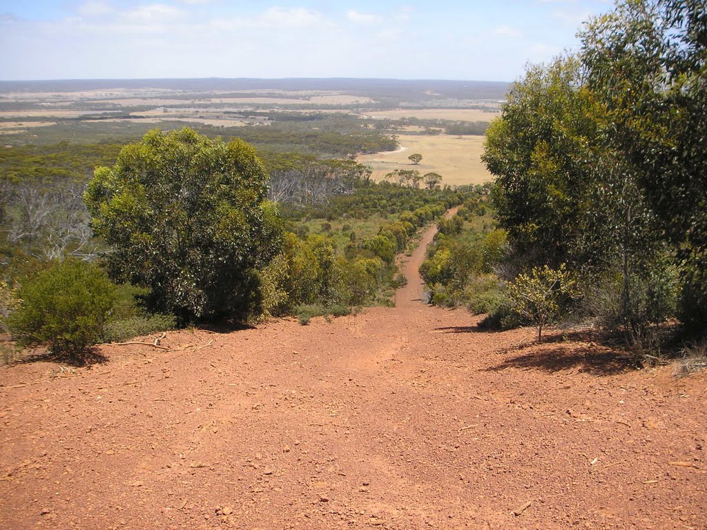
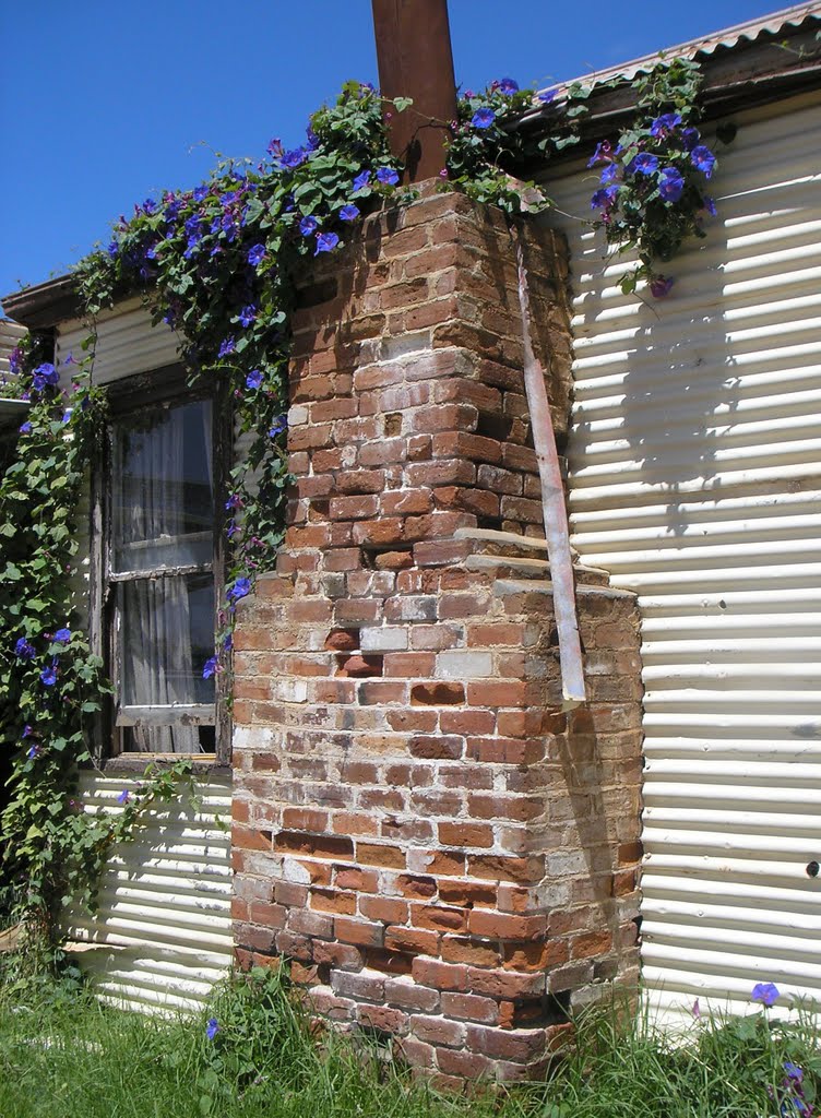
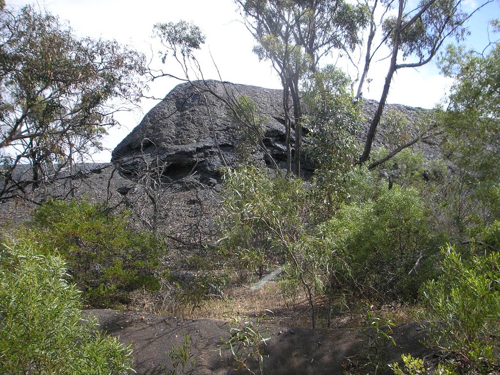
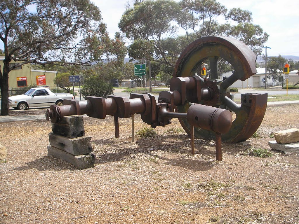
Photos of Ravensthorpe
Ravensthorpe Weather

Predicción: Clear sky
Temperatura: 18.2°
Humedad: 48%
Hora actual: 08:43 AM
Amanece: 06:25 AM
Anochece: 05:32 PM
Pingaring, Australia
Latitude: -32.7572 // Longitude: 118.625
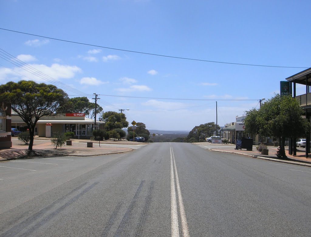
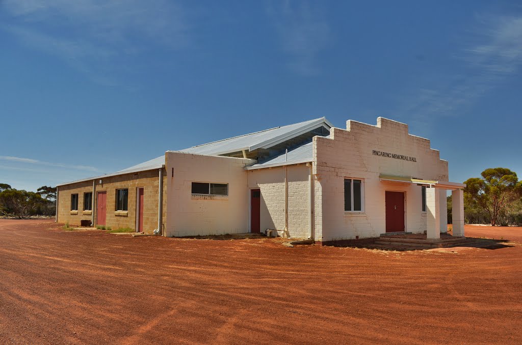
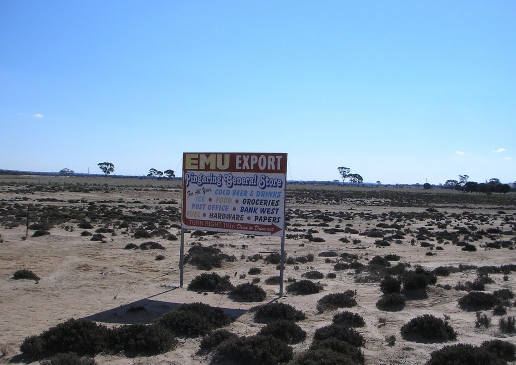
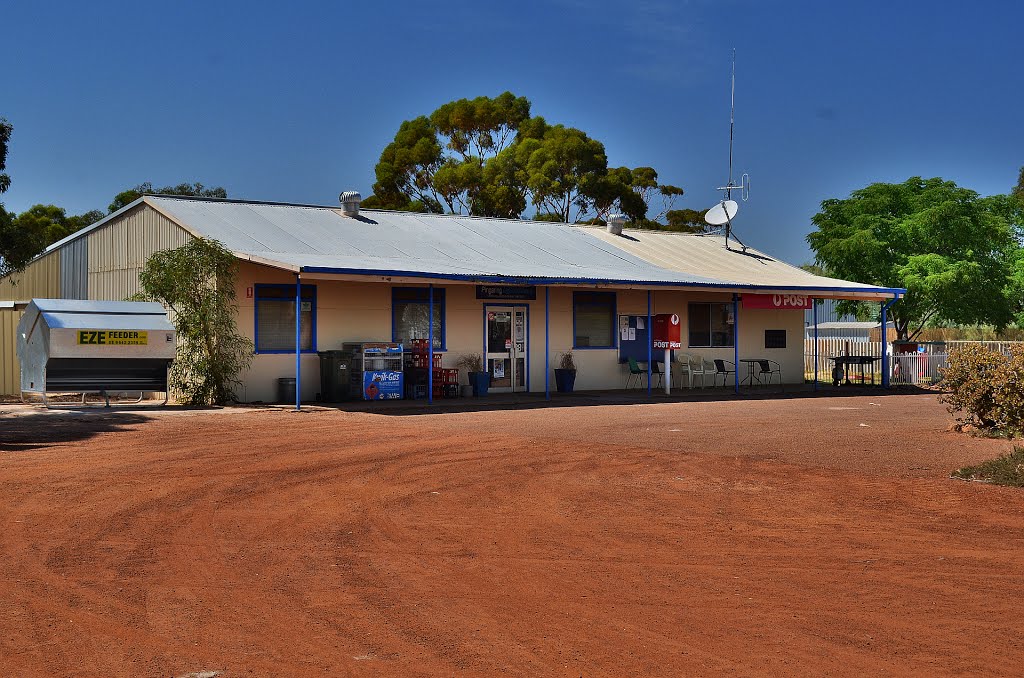
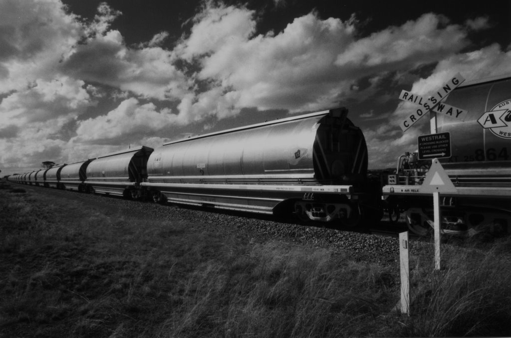
Photos of Pingaring
Pingaring Weather

Predicción: Clear sky
Temperatura: 18.5°
Humedad: 44%
Hora actual: 08:00 AM
Amanece: 06:30 AM
Anochece: 05:38 PM


