Distance between  Ravensthorpe and
  Geraldton
462.13 mi Straight Distance
566.96 mi Driving Distance
8 hours 59 mins Estimated Driving Time
The straight distance between Ravensthorpe (Western Australia) and Geraldton (Western Australia) is 462.13 mi, but the driving distance is 566.96 mi.
It takes 10 hours 5 mins to go from Ravensthorpe to Geraldton.
Driving directions from Ravensthorpe to Geraldton
Distance in kilometers
Straight distance: 743.57 km. Route distance: 912.23 km
Ravensthorpe, Australia
Latitude: -33.5816 // Longitude: 120.048
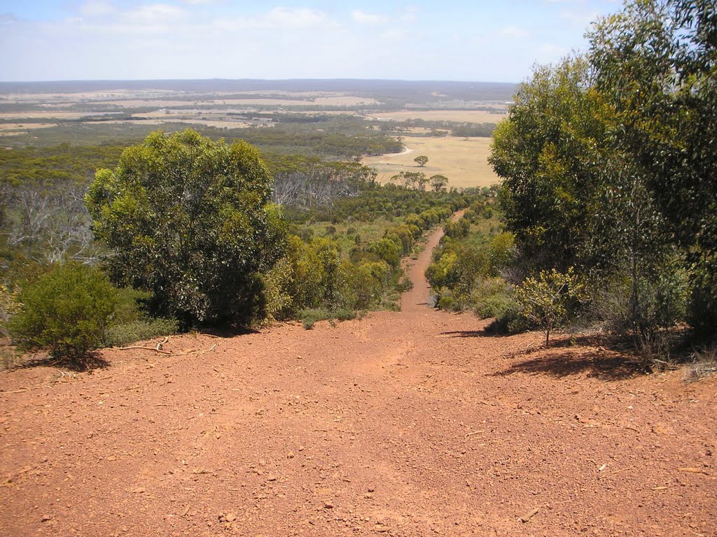
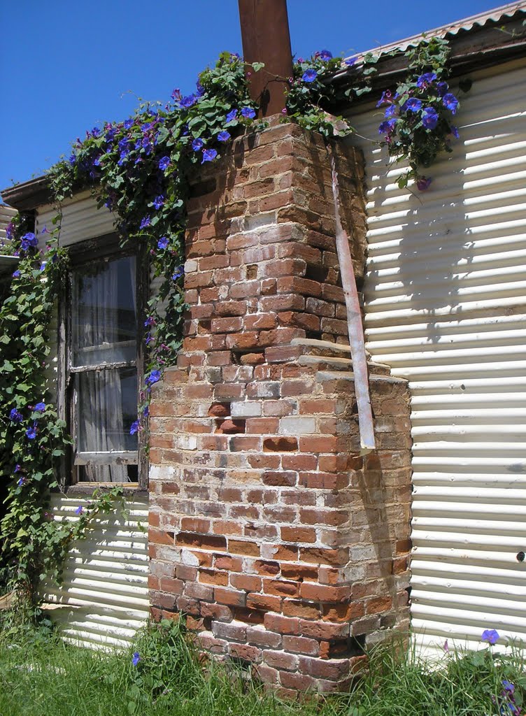
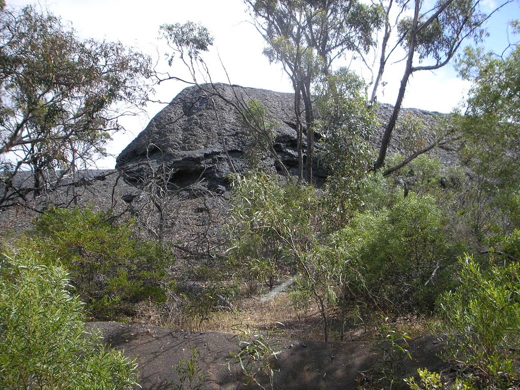
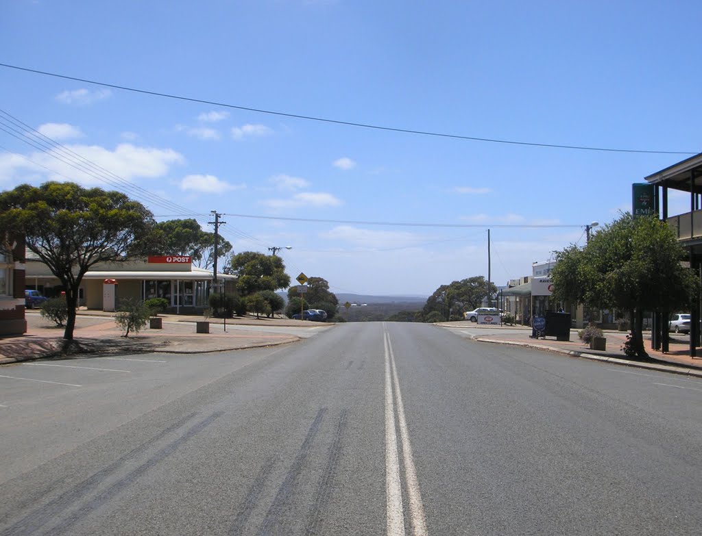
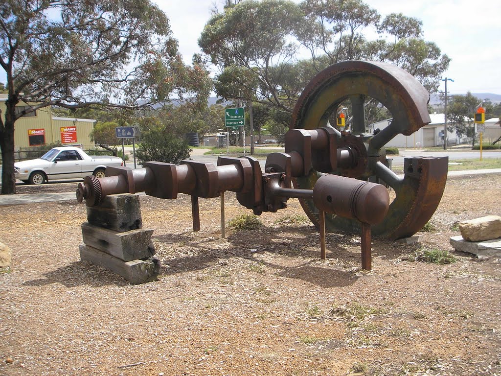
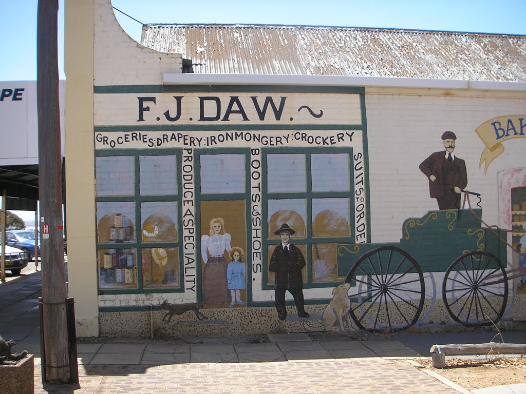
Photos of Ravensthorpe
Ravensthorpe Weather

Predicción: Clear sky
Temperatura: 22.0°
Humedad: 37%
Hora actual: 10:17 AM
Amanece: 06:24 AM
Anochece: 05:33 PM
Geraldton, Australia
Latitude: -28.7732 // Longitude: 114.61
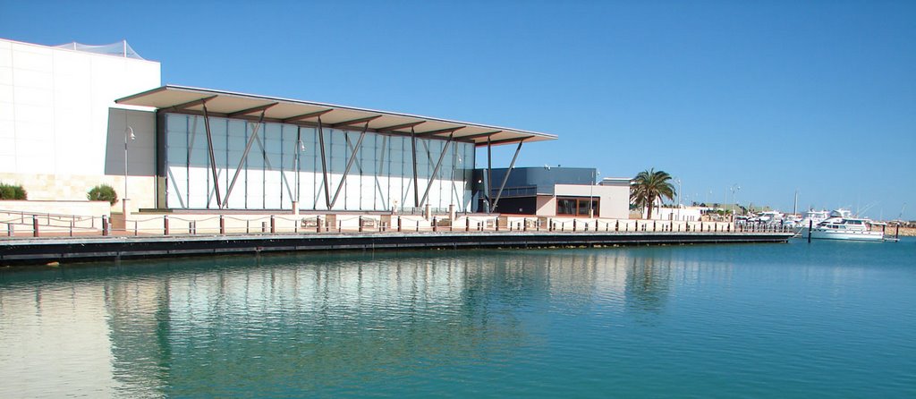
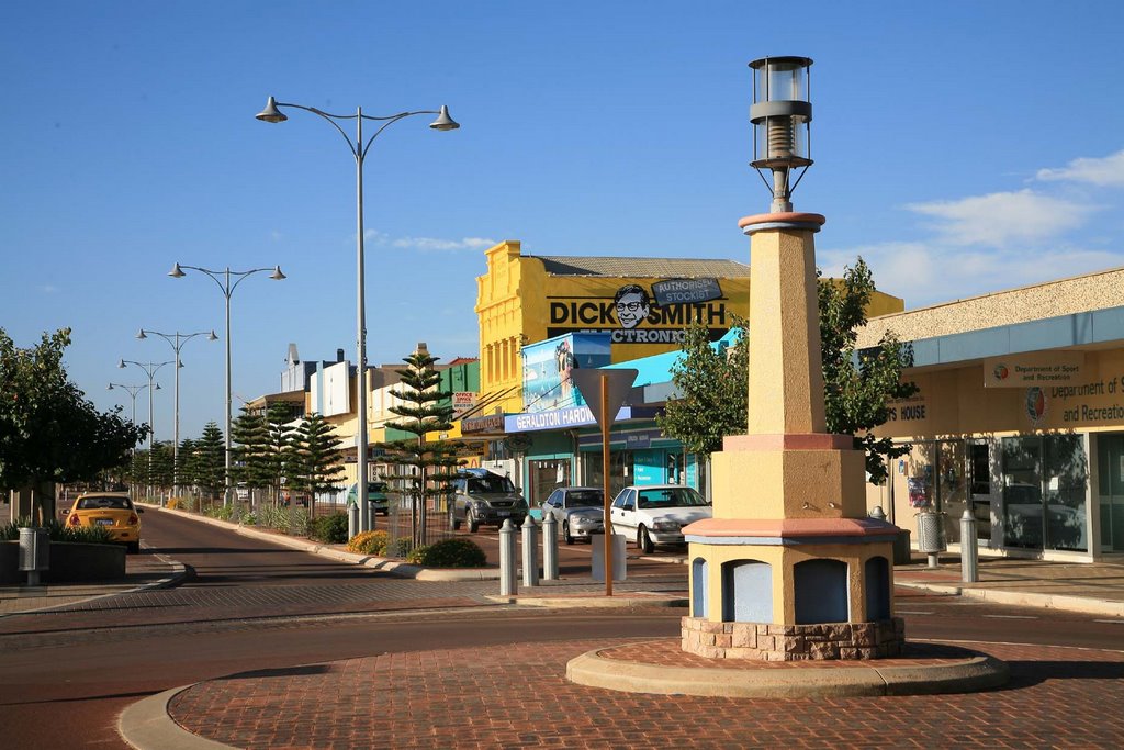
Photos of Geraldton
Geraldton Weather

Predicción: Clear sky
Temperatura: 30.2°
Humedad: 23%
Hora actual: 10:17 AM
Amanece: 06:41 AM
Anochece: 06:00 PM


