Distance between  Raukkan and
  Port Elliot
36.45 mi Straight Distance
73.28 mi Driving Distance
1 hour 43 mins Estimated Driving Time
The straight distance between Raukkan (South Australia) and Port Elliot (South Australia) is 36.45 mi, but the driving distance is 73.28 mi.
It takes 1 hour 41 mins to go from Raukkan to Port Elliot.
Driving directions from Raukkan to Port Elliot
Distance in kilometers
Straight distance: 58.66 km. Route distance: 117.90 km
Raukkan, Australia
Latitude: -35.4712 // Longitude: 139.325
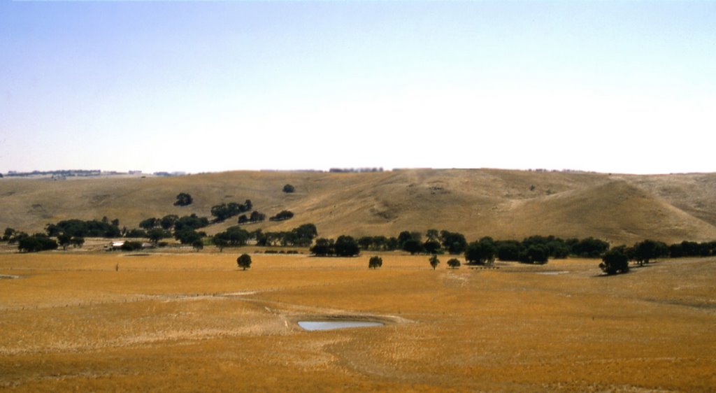
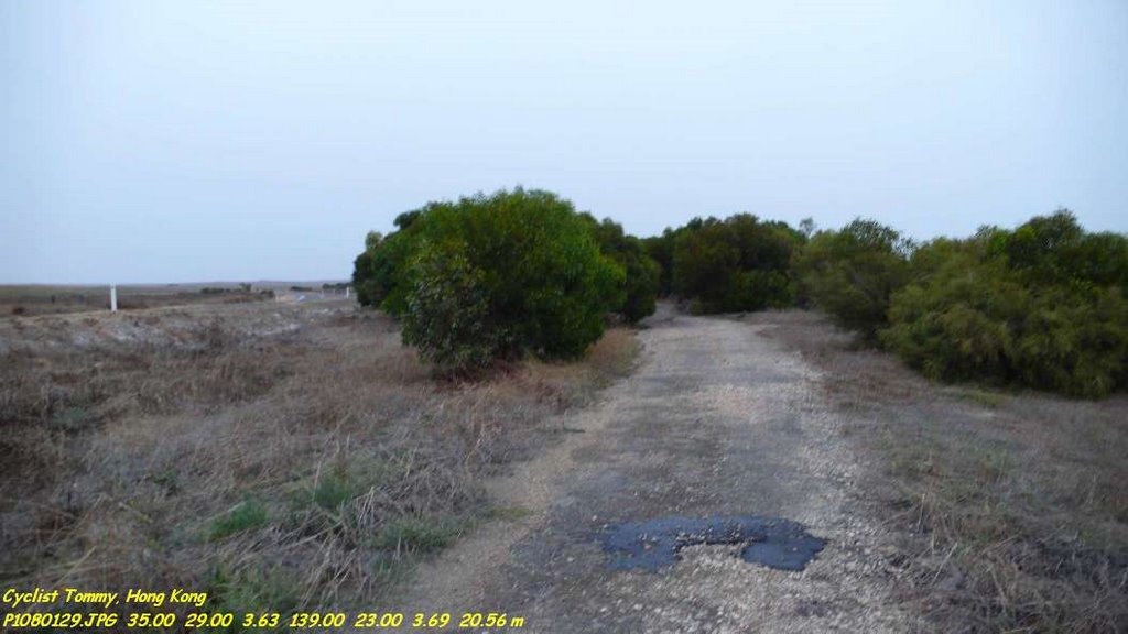
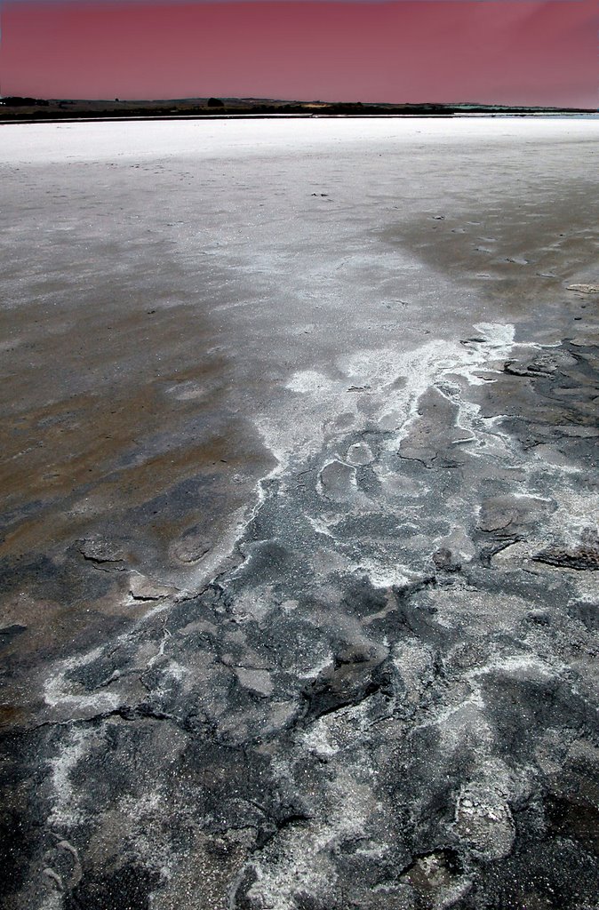
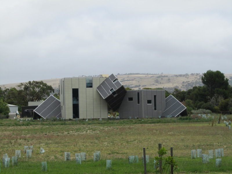
Photos of Raukkan
Raukkan Weather

Predicción: Scattered clouds
Temperatura: 15.2°
Humedad: 83%
Hora actual: 12:00 AM
Amanece: 09:08 PM
Anochece: 08:16 AM
Port Elliot, Australia
Latitude: -35.5304 // Longitude: 138.681
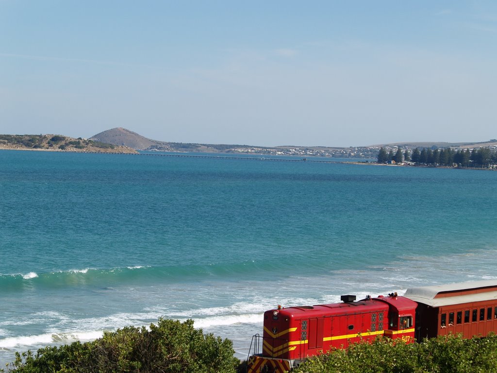
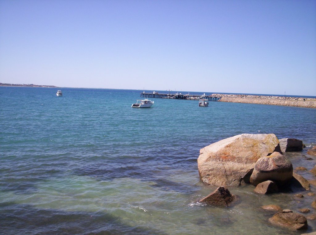
Photos of Port Elliot
Port Elliot Weather

Predicción: Few clouds
Temperatura: 13.7°
Humedad: 86%
Hora actual: 07:40 PM
Amanece: 06:40 AM
Anochece: 05:49 PM


