Distance between  Rathdowney and
  McKinlay
869.51 mi Straight Distance
1,028.77 mi Driving Distance
17 hours 6 mins Estimated Driving Time
The straight distance between Rathdowney (Queensland) and McKinlay (Queensland) is 869.51 mi, but the driving distance is 1,028.77 mi.
It takes to go from Rathdowney to McKinlay.
Driving directions from Rathdowney to McKinlay
Distance in kilometers
Straight distance: 1,399.04 km. Route distance: 1,655.29 km
Rathdowney, Australia
Latitude: -28.2119 // Longitude: 152.863
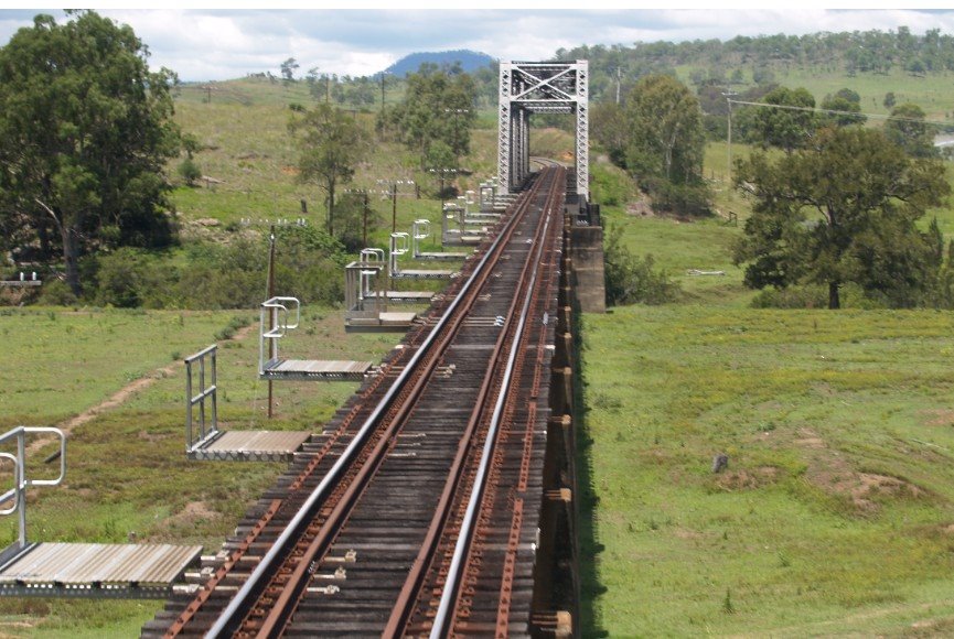
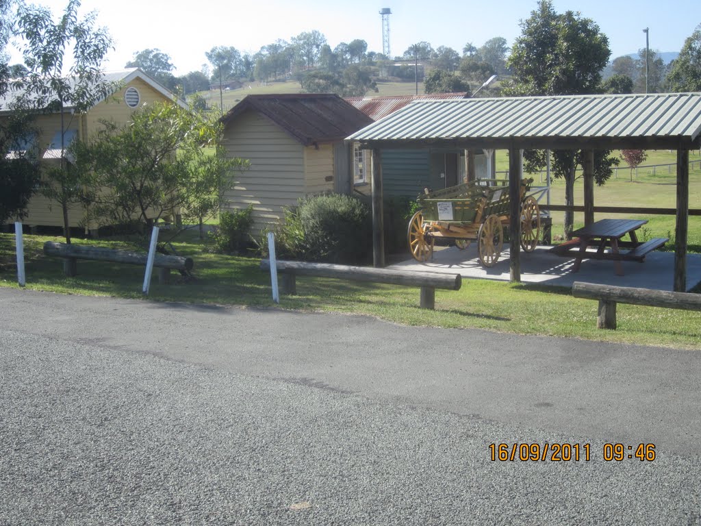
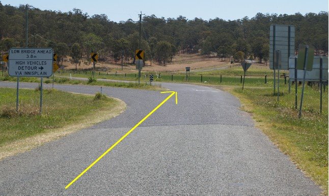
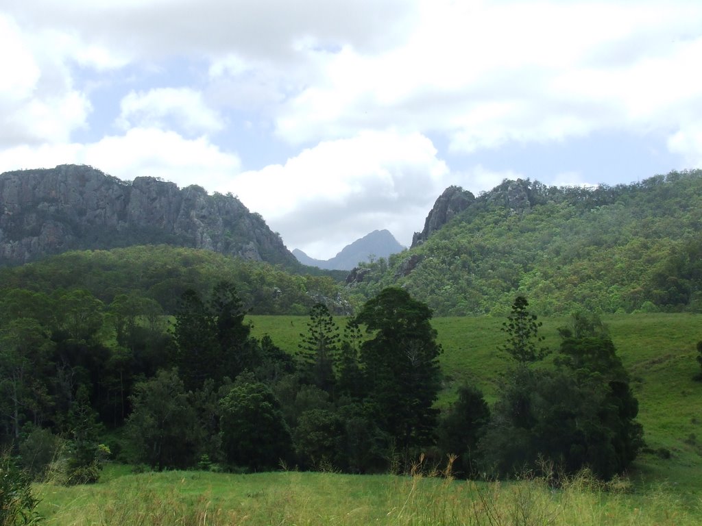
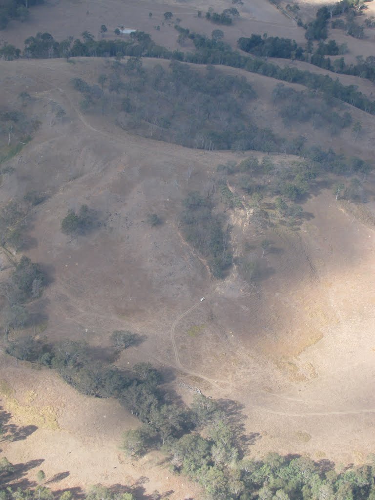
Photos of Rathdowney
Rathdowney Weather

Predicción: Few clouds
Temperatura: 22.6°
Humedad: 77%
Hora actual: 12:00 AM
Amanece: 08:06 PM
Anochece: 07:29 AM
McKinlay, Australia
Latitude: -21.2717 // Longitude: 141.289
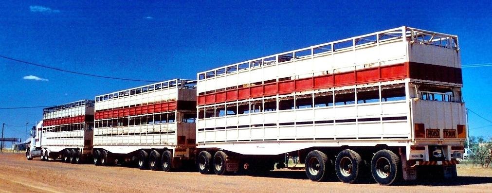
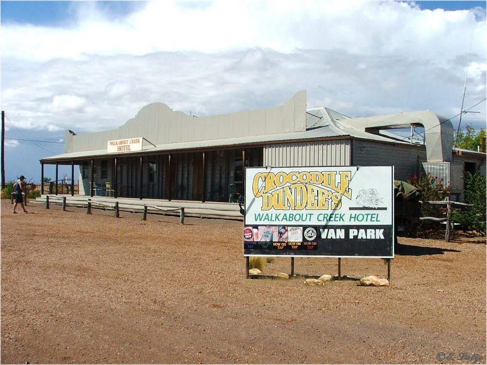
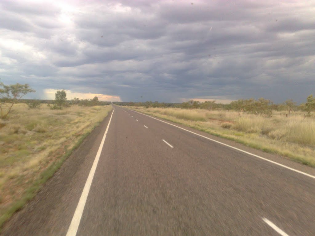
Photos of McKinlay
McKinlay Weather

Predicción: Scattered clouds
Temperatura: 33.3°
Humedad: 33%
Hora actual: 06:16 PM
Amanece: 06:47 AM
Anochece: 06:22 PM


