Distance between  Rankins Springs and
  Gloucester
353.75 mi Straight Distance
452.49 mi Driving Distance
8 hours 15 mins Estimated Driving Time
The straight distance between Rankins Springs (New South Wales) and Gloucester (New South Wales) is 353.75 mi, but the driving distance is 452.49 mi.
It takes to go from Rankins Springs to Gloucester.
Driving directions from Rankins Springs to Gloucester
Distance in kilometers
Straight distance: 569.18 km. Route distance: 728.06 km
Rankins Springs, Australia
Latitude: -33.8416 // Longitude: 146.262
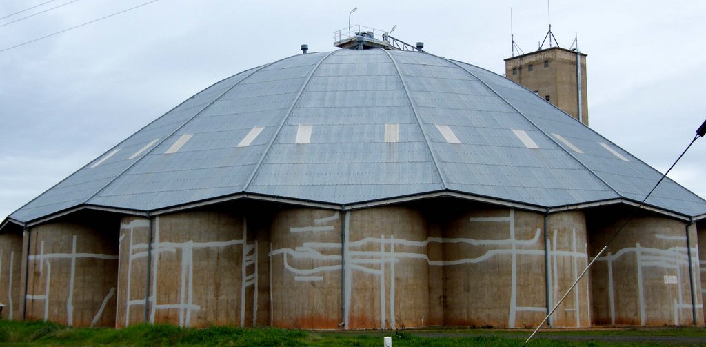
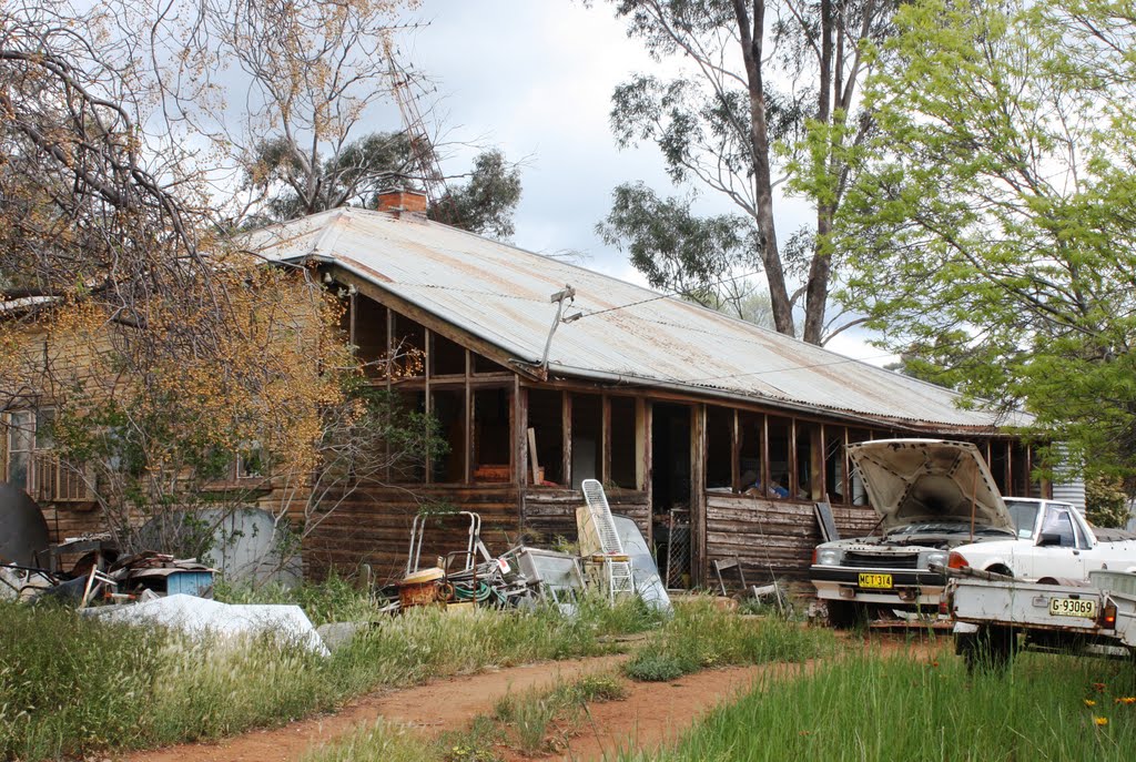
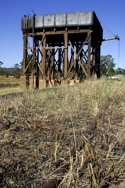
Photos of Rankins Springs
Rankins Springs Weather

Predicción: Clear sky
Temperatura: 13.9°
Humedad: 58%
Hora actual: 12:00 AM
Amanece: 08:38 PM
Anochece: 07:50 AM
Gloucester, Australia
Latitude: -32.0076 // Longitude: 151.958
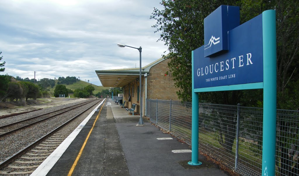
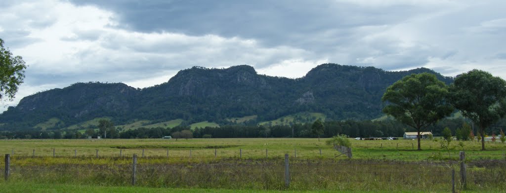
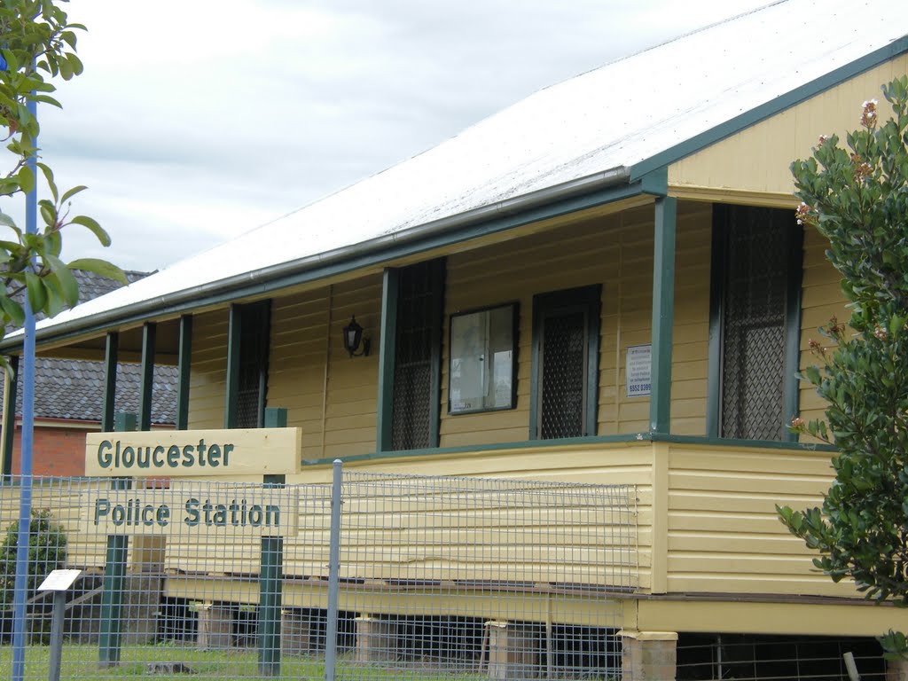
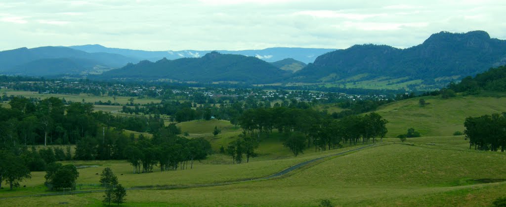
Photos of Gloucester
Gloucester Weather

Predicción: Clear sky
Temperatura: 16.7°
Humedad: 100%
Hora actual: 05:04 AM
Amanece: 06:14 AM
Anochece: 05:28 PM


