Distance between  Ramco and
  Kanmantoo
81.19 mi Straight Distance
110.99 mi Driving Distance
2 hours 7 mins Estimated Driving Time
The straight distance between Ramco (South Australia) and Kanmantoo (South Australia) is 81.19 mi, but the driving distance is 110.99 mi.
It takes to go from Ramco to Kanmantoo.
Driving directions from Ramco to Kanmantoo
Distance in kilometers
Straight distance: 130.64 km. Route distance: 178.59 km
Ramco, Australia
Latitude: -34.1702 // Longitude: 139.932
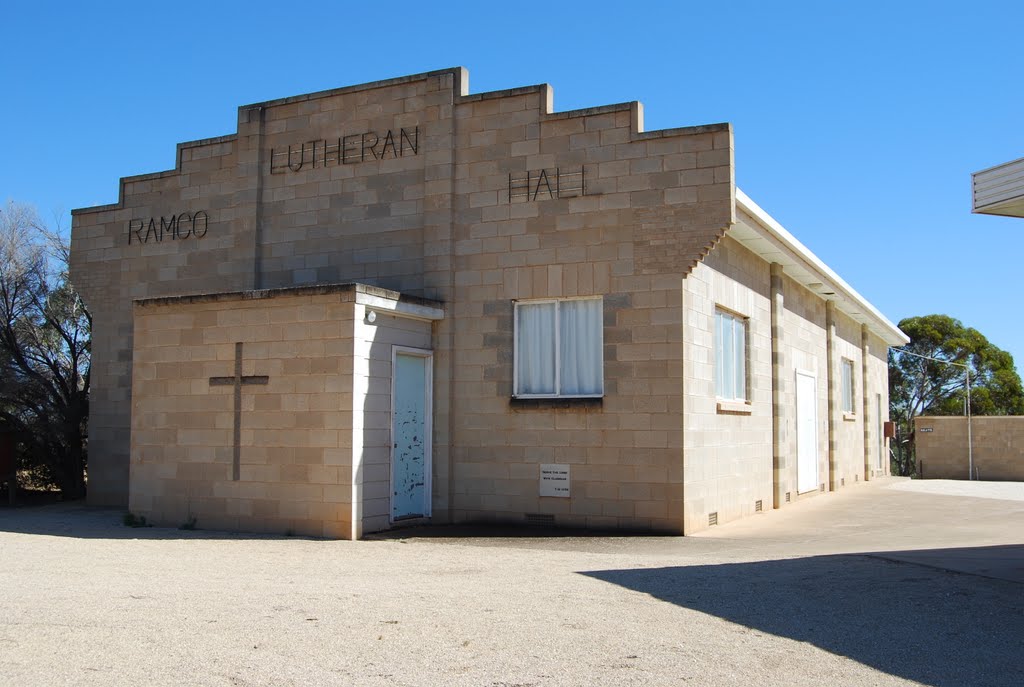
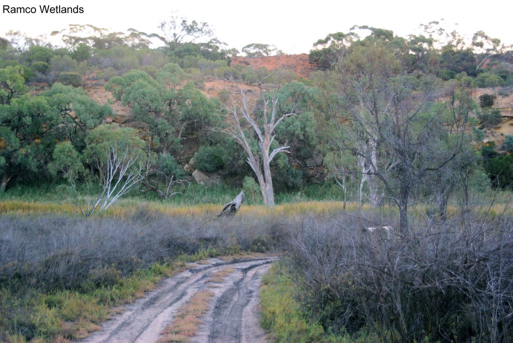
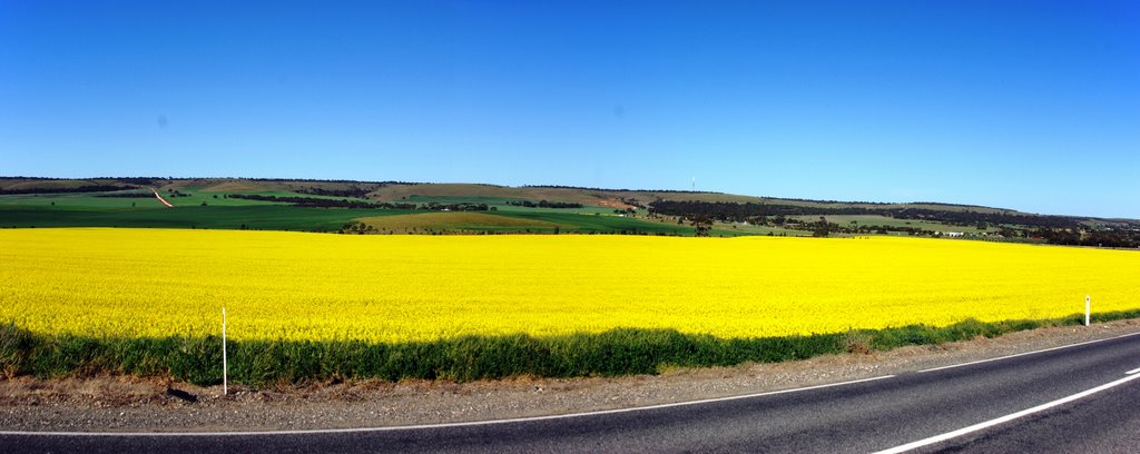
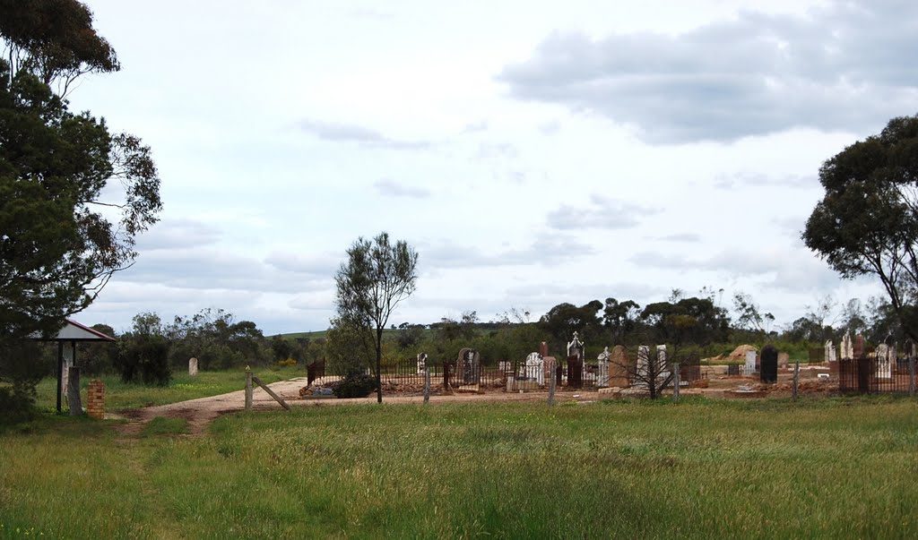
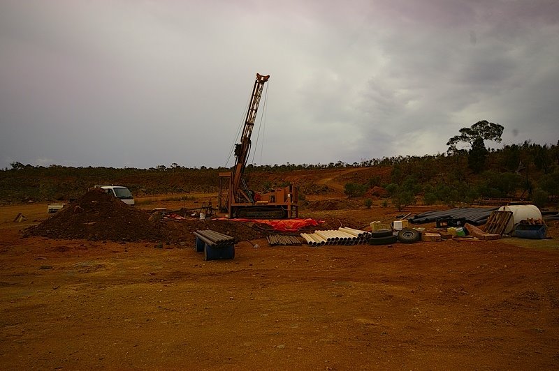
Photos of Ramco
Ramco Weather

Predicción: Broken clouds
Temperatura: 15.1°
Humedad: 75%
Hora actual: 09:03 AM
Amanece: 06:36 AM
Anochece: 05:42 PM
Kanmantoo, Australia
Latitude: -35.0703 // Longitude: 139.014
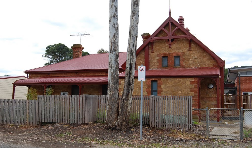
Photos of Kanmantoo
Kanmantoo Weather

Predicción: Overcast clouds
Temperatura: 12.8°
Humedad: 60%
Hora actual: 09:03 AM
Amanece: 06:41 AM
Anochece: 05:44 PM


