Distance between  Quipolly and
  Quaama
349.39 mi Straight Distance
458.11 mi Driving Distance
8 hours 22 mins Estimated Driving Time
The straight distance between Quipolly (New South Wales) and Quaama (New South Wales) is 349.39 mi, but the driving distance is 458.11 mi.
It takes to go from Quipolly to Quaama.
Driving directions from Quipolly to Quaama
Distance in kilometers
Straight distance: 562.17 km. Route distance: 737.10 km
Quipolly, Australia
Latitude: -31.4531 // Longitude: 150.683
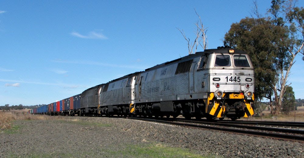
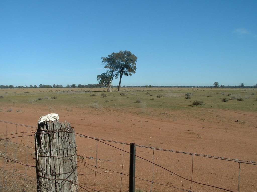
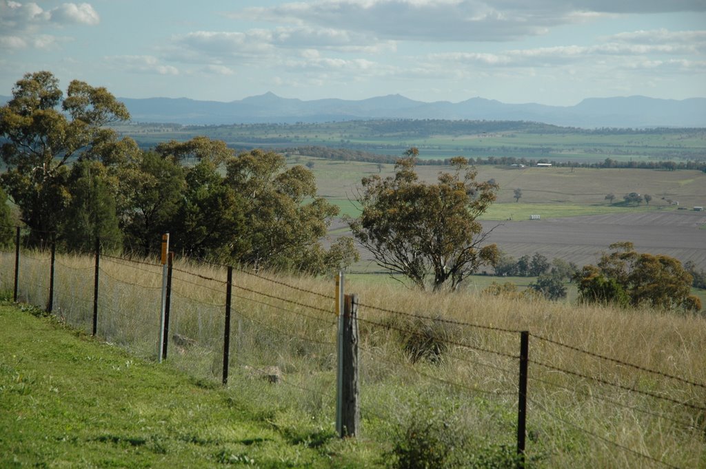
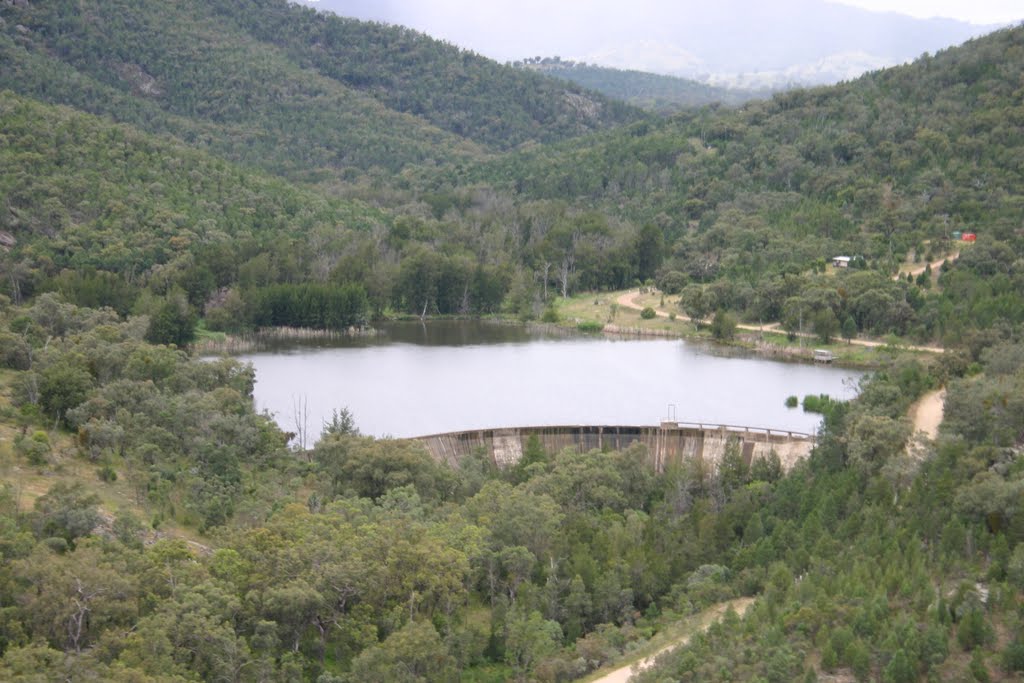
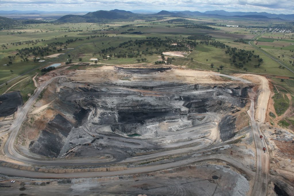
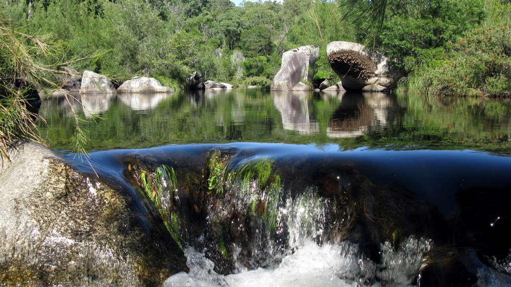
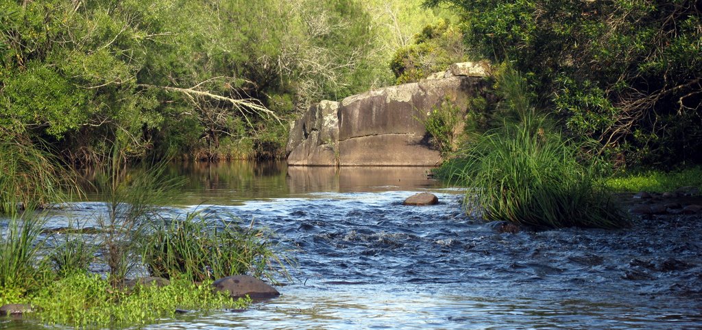
Photos of Quipolly
Quipolly Weather

Predicción: Overcast clouds
Temperatura: 19.7°
Humedad: 68%
Hora actual: 05:23 PM
Amanece: 06:18 AM
Anochece: 05:35 PM
Quaama, Australia
Latitude: -36.4647 // Longitude: 149.869
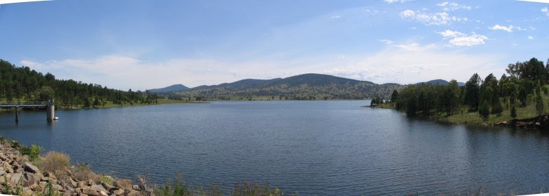
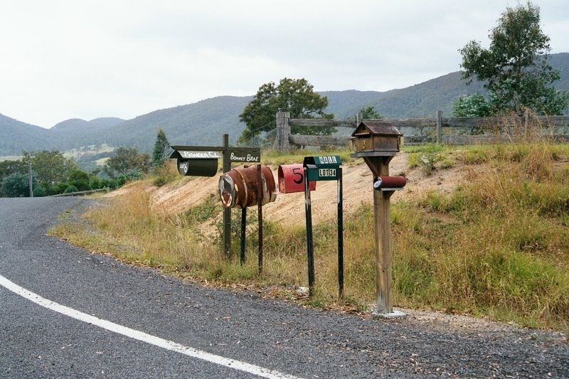
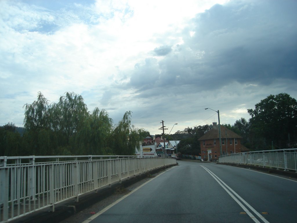
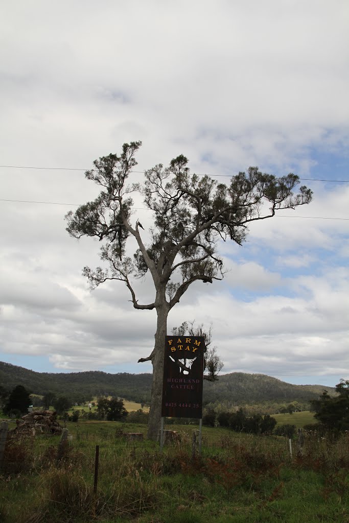
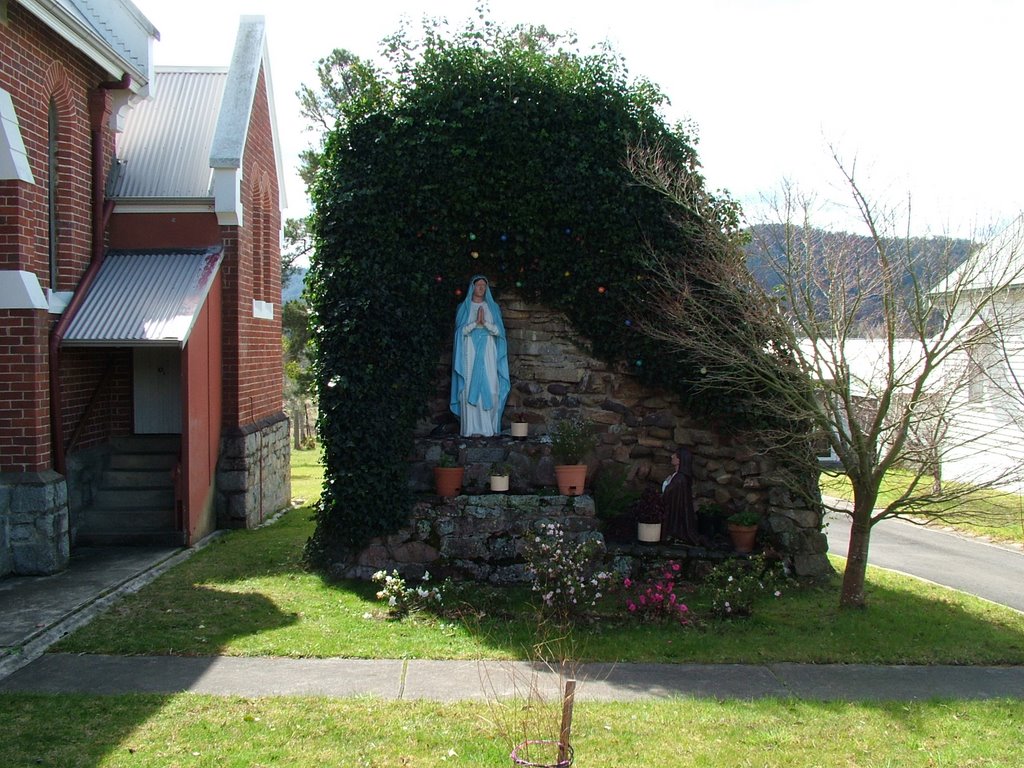
Photos of Quaama
Quaama Weather

Predicción: Overcast clouds
Temperatura: 17.9°
Humedad: 82%
Hora actual: 10:00 AM
Amanece: 06:26 AM
Anochece: 05:33 PM


