Distance between  Purnim West and
  Yullundry
509.05 mi Straight Distance
647.40 mi Driving Distance
10 hours 34 mins Estimated Driving Time
The straight distance between Purnim West (Victoria) and Yullundry (New South Wales) is 509.05 mi, but the driving distance is 647.40 mi.
It takes to go from Purnim West to Yullundry.
Driving directions from Purnim West to Yullundry
Distance in kilometers
Straight distance: 819.07 km. Route distance: 1,041.67 km
Purnim West, Australia
Latitude: -38.3007 // Longitude: 142.56
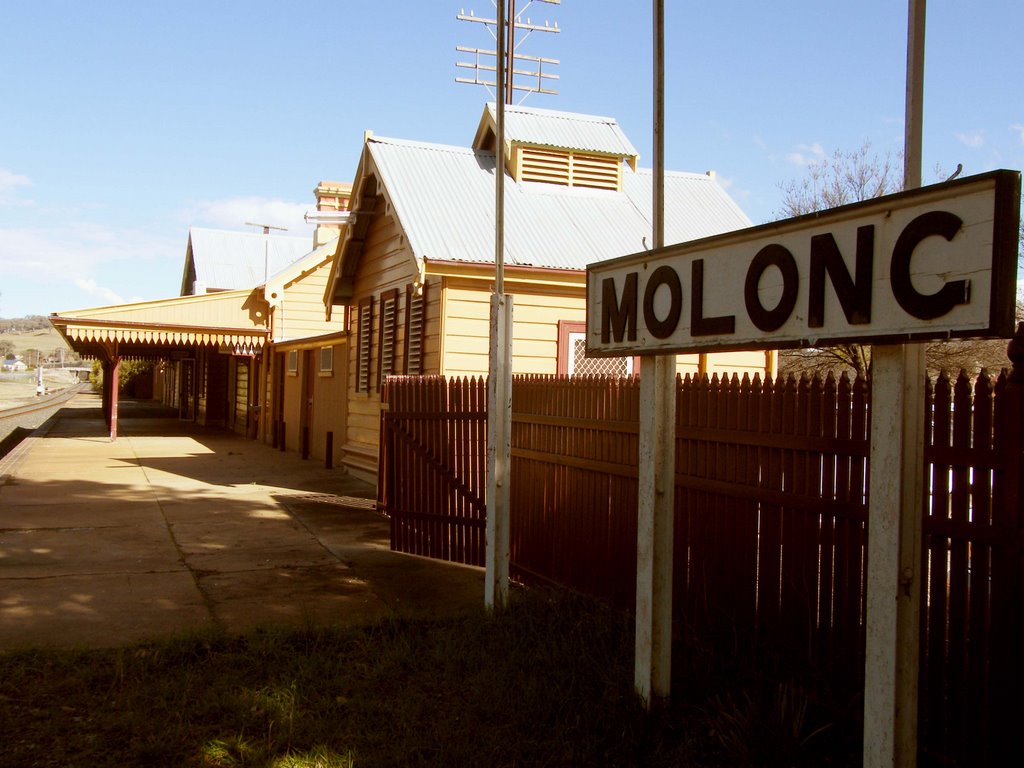
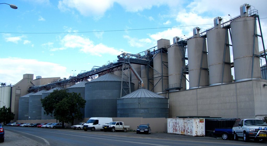
Photos of Purnim West
Purnim West Weather

Predicción: Overcast clouds
Temperatura: 11.1°
Humedad: 86%
Hora actual: 04:51 AM
Amanece: 06:58 AM
Anochece: 05:59 PM
Yullundry, Australia
Latitude: -32.8548 // Longitude: 148.668
Photos of Yullundry
Yullundry Weather

Predicción: Clear sky
Temperatura: 10.2°
Humedad: 48%
Hora actual: 10:00 AM
Amanece: 06:28 AM
Anochece: 05:41 PM


