Distance between  Pulletop and
  Nelson Bay
330.17 mi Straight Distance
429.85 mi Driving Distance
7 hours 3 mins Estimated Driving Time
The straight distance between Pulletop (New South Wales) and Nelson Bay (New South Wales) is 330.17 mi, but the driving distance is 429.85 mi.
It takes 7 hours 17 mins to go from Pulletop to Nelson Bay.
Driving directions from Pulletop to Nelson Bay
Distance in kilometers
Straight distance: 531.25 km. Route distance: 691.63 km
Pulletop, Australia
Latitude: -35.4408 // Longitude: 147.398
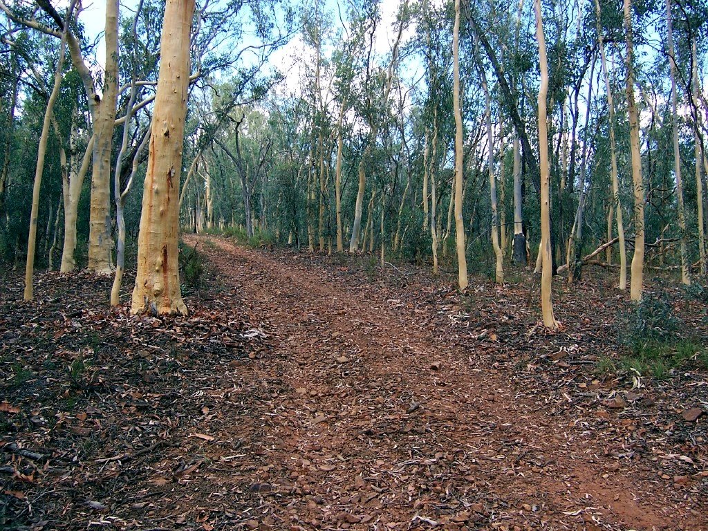
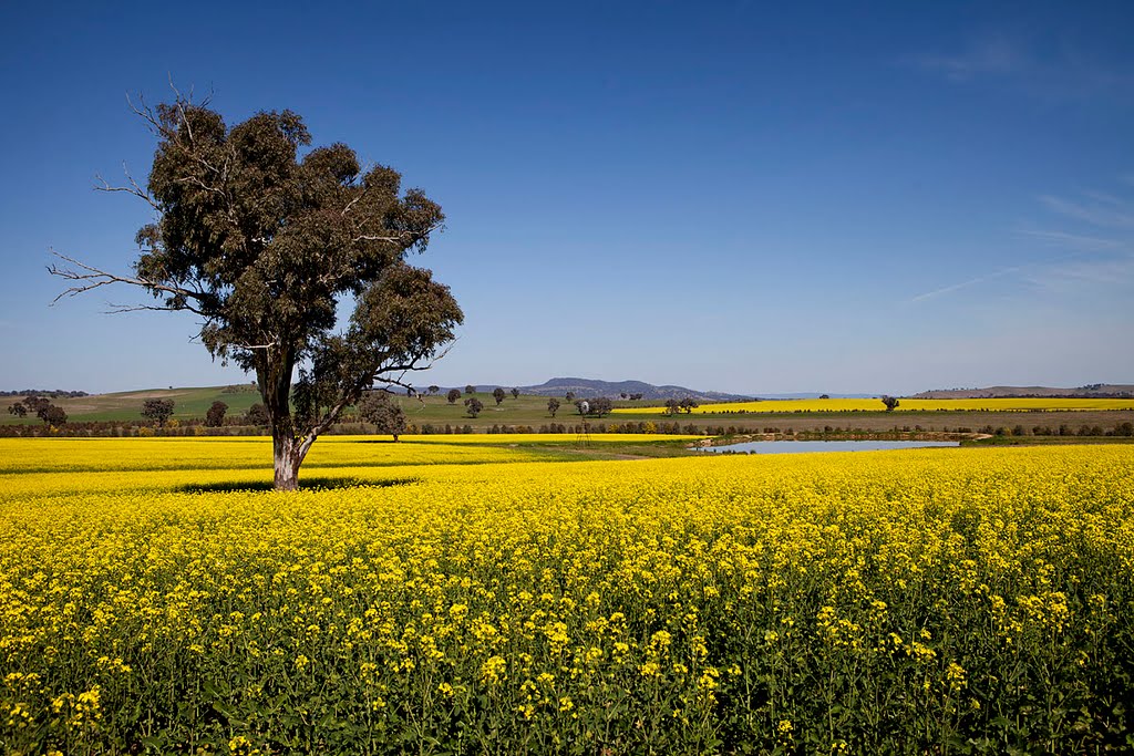
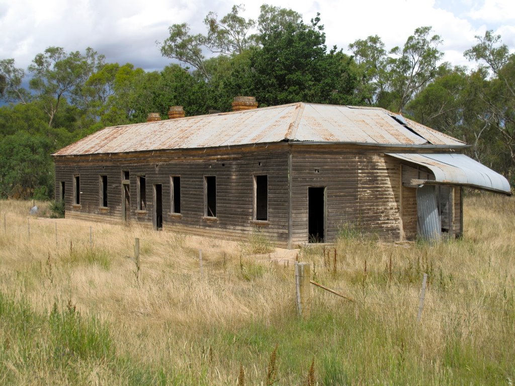
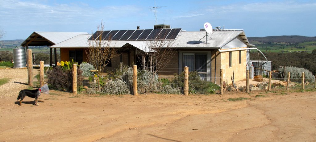
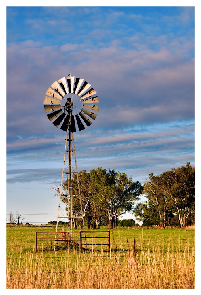
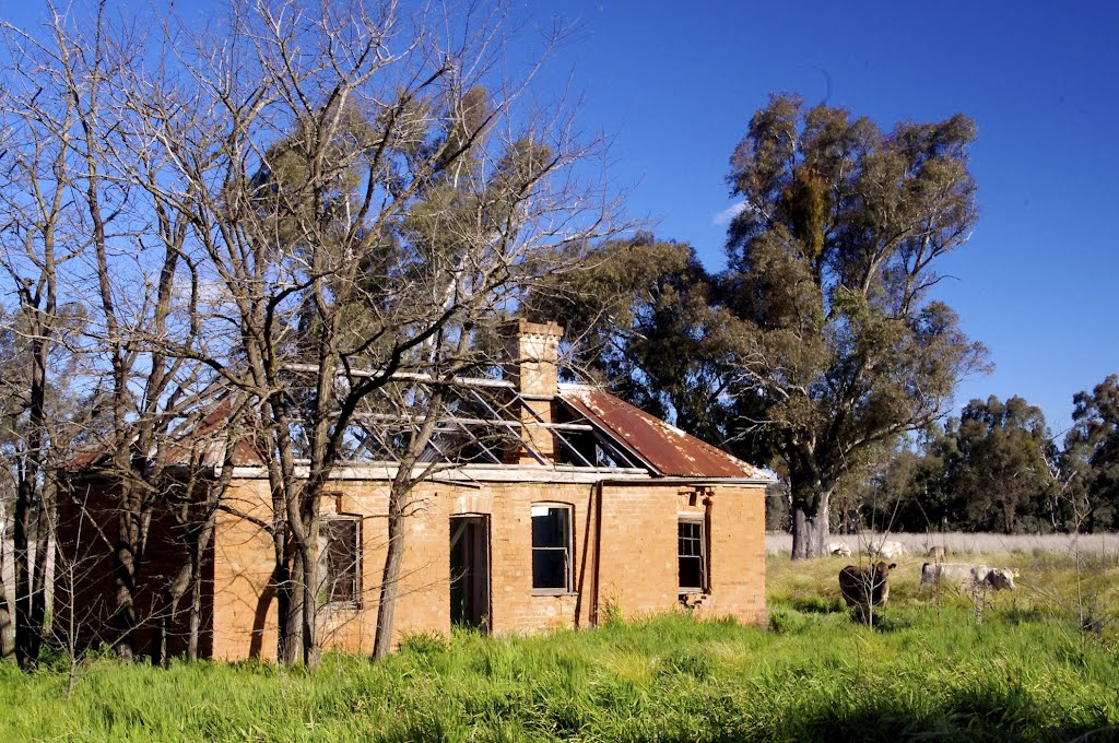
Photos of Pulletop
Pulletop Weather

Predicción: Broken clouds
Temperatura: 12.5°
Humedad: 58%
Hora actual: 12:00 AM
Amanece: 08:37 PM
Anochece: 07:41 AM
Nelson Bay, Australia
Latitude: -32.7217 // Longitude: 152.144
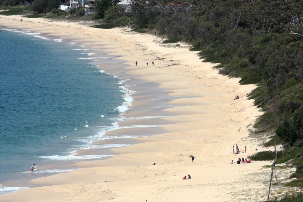
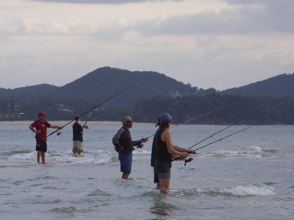
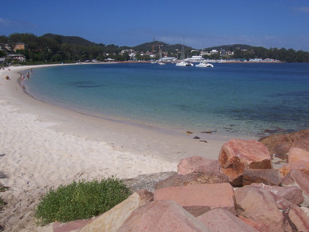
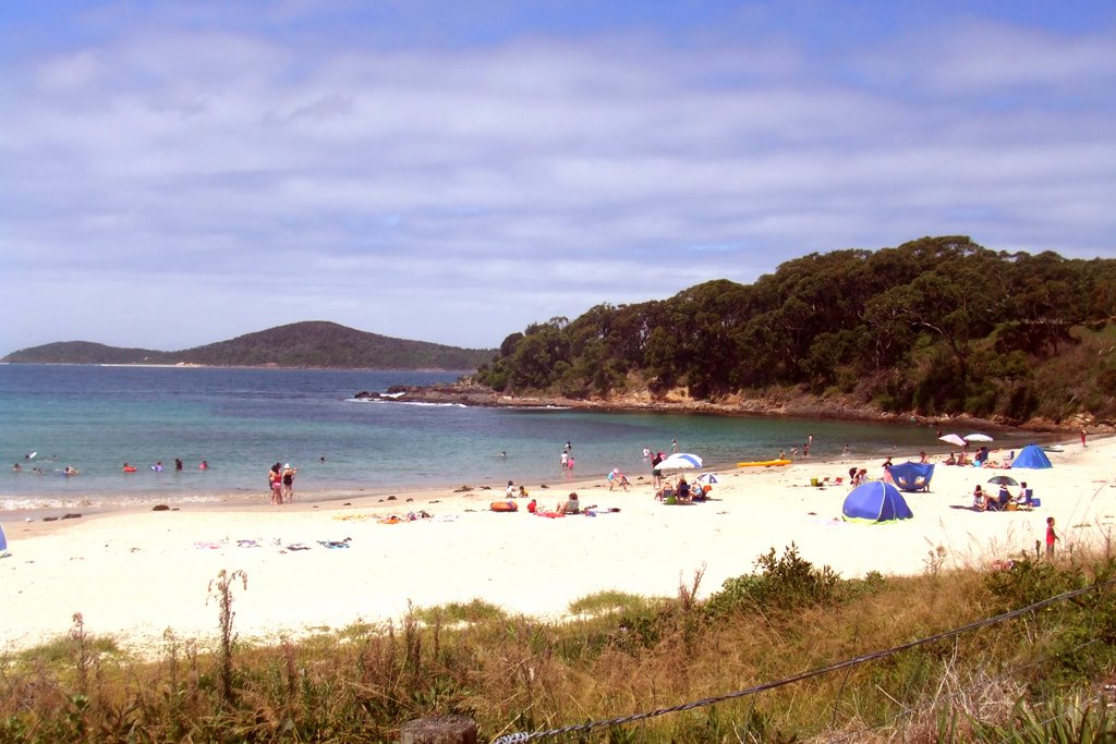
Photos of Nelson Bay
Nelson Bay Weather

Predicción: Few clouds
Temperatura: 17.1°
Humedad: 96%
Hora actual: 09:15 PM
Amanece: 06:15 AM
Anochece: 05:26 PM


