Distance between  Pulletop and
  Mylestom
474.38 mi Straight Distance
618.31 mi Driving Distance
9 hours 54 mins Estimated Driving Time
The straight distance between Pulletop (New South Wales) and Mylestom (New South Wales) is 474.38 mi, but the driving distance is 618.31 mi.
It takes to go from Pulletop to Mylestom.
Driving directions from Pulletop to Mylestom
Distance in kilometers
Straight distance: 763.28 km. Route distance: 994.85 km
Pulletop, Australia
Latitude: -35.4408 // Longitude: 147.398
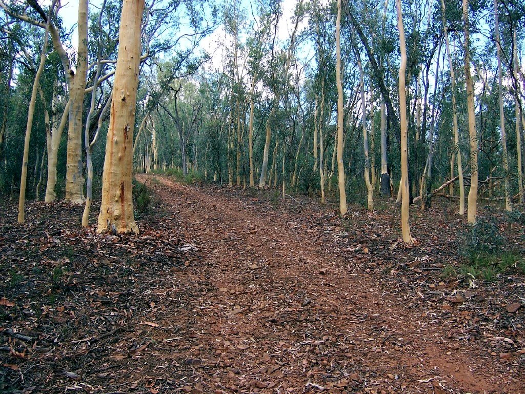
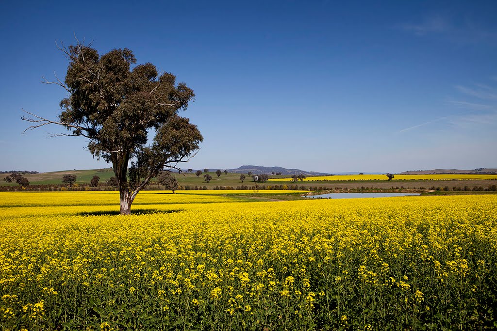
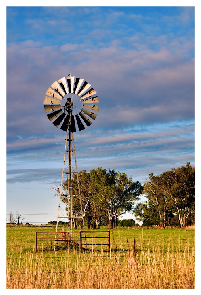
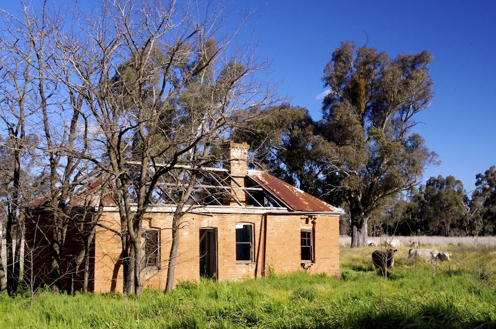
Photos of Pulletop
Pulletop Weather

Predicción: Scattered clouds
Temperatura: 13.1°
Humedad: 54%
Hora actual: 12:00 AM
Amanece: 08:35 PM
Anochece: 07:44 AM
Mylestom, Australia
Latitude: -30.4669 // Longitude: 153.043
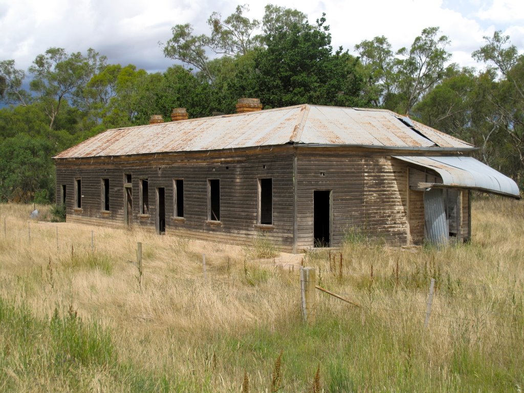
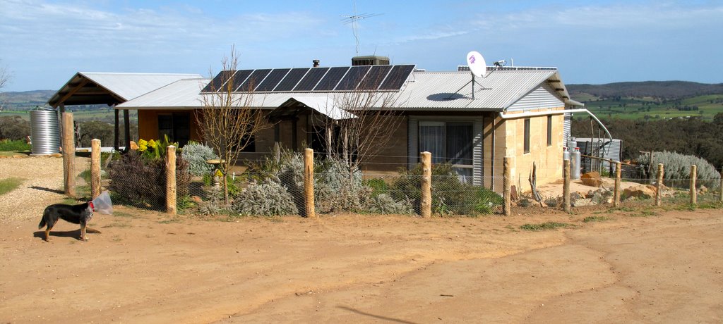
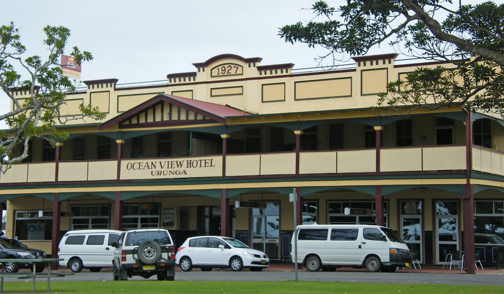
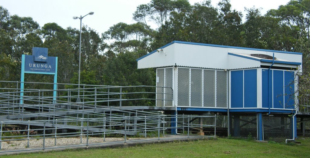
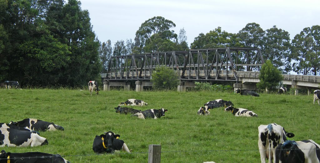
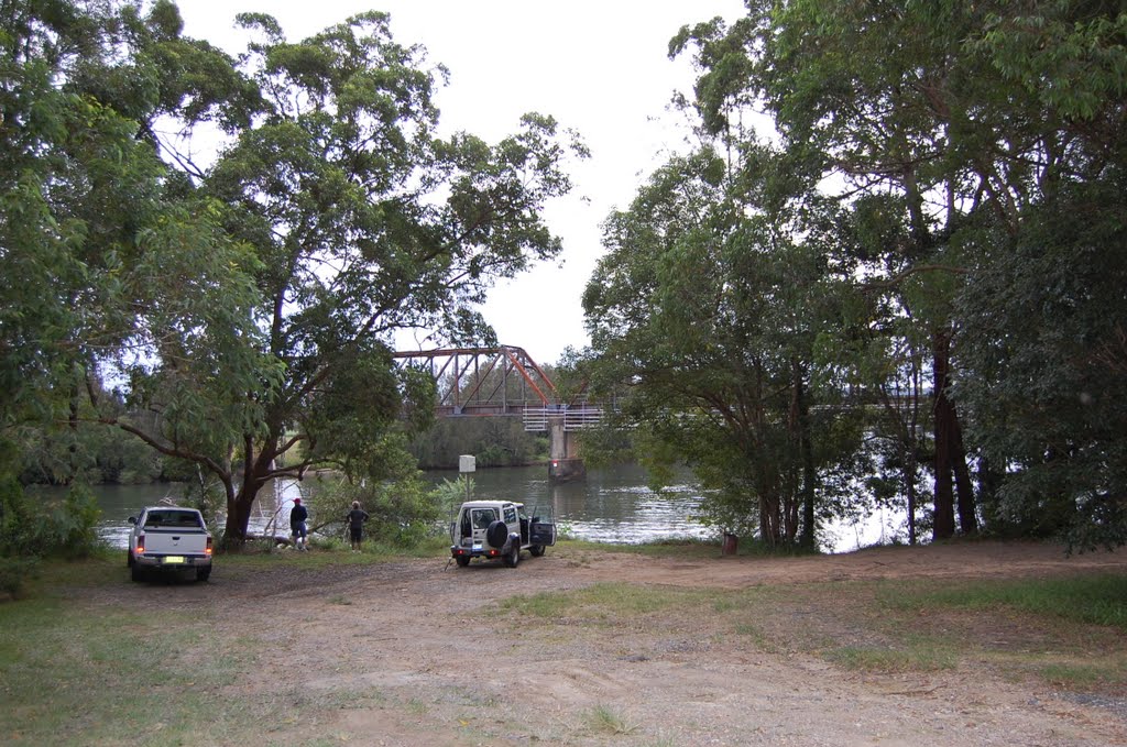
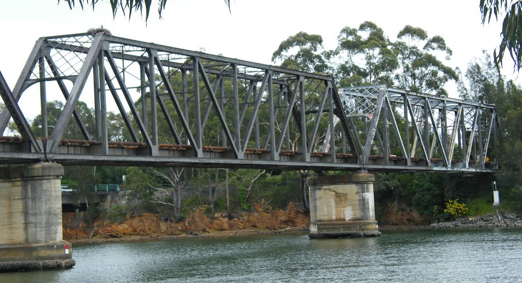
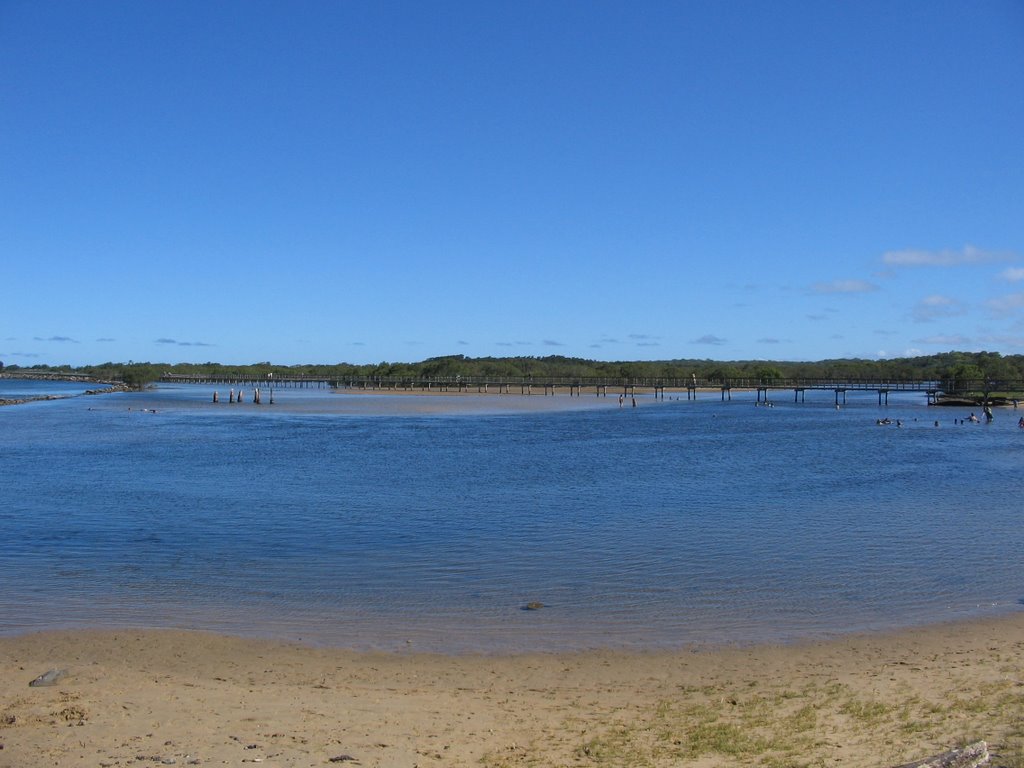
Photos of Mylestom
Mylestom Weather

Predicción: Overcast clouds
Temperatura: 18.0°
Humedad: 94%
Hora actual: 07:29 PM
Amanece: 06:08 AM
Anochece: 05:27 PM


