Distance between  Prevelly and
  Mount Kokeby
167.09 mi Straight Distance
227.41 mi Driving Distance
3 hours 55 mins Estimated Driving Time
The straight distance between Prevelly (Western Australia) and Mount Kokeby (Western Australia) is 167.09 mi, but the driving distance is 227.41 mi.
It takes 4 hours 15 mins to go from Prevelly to Mount Kokeby.
Driving directions from Prevelly to Mount Kokeby
Distance in kilometers
Straight distance: 268.85 km. Route distance: 365.90 km
Prevelly, Australia
Latitude: -33.9791 // Longitude: 114.994
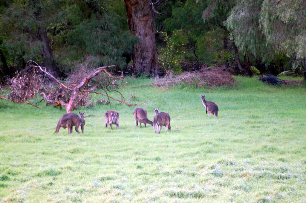
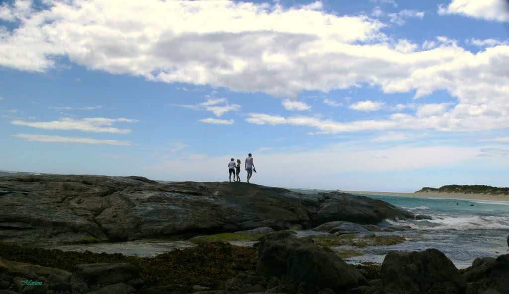
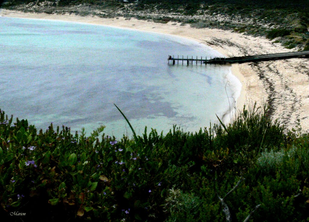
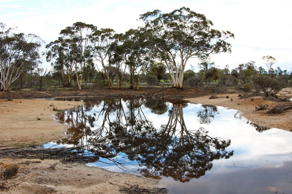
Photos of Prevelly
Prevelly Weather

Predicción: Clear sky
Temperatura: 19.2°
Humedad: 79%
Hora actual: 08:56 PM
Amanece: 06:43 AM
Anochece: 05:55 PM
Mount Kokeby, Australia
Latitude: -32.2175 // Longitude: 116.972
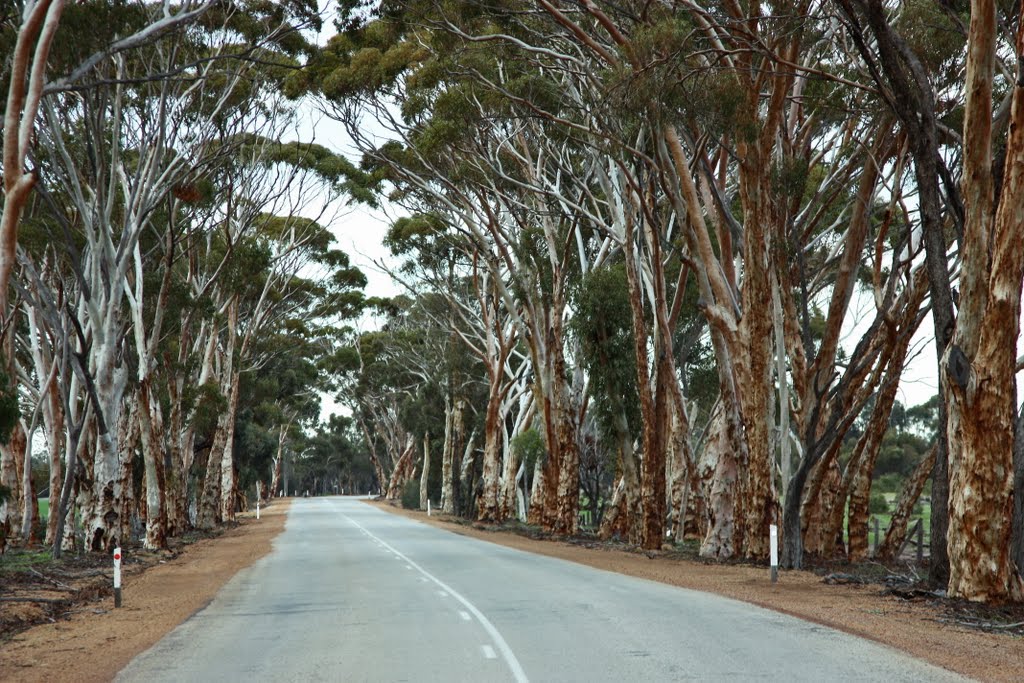
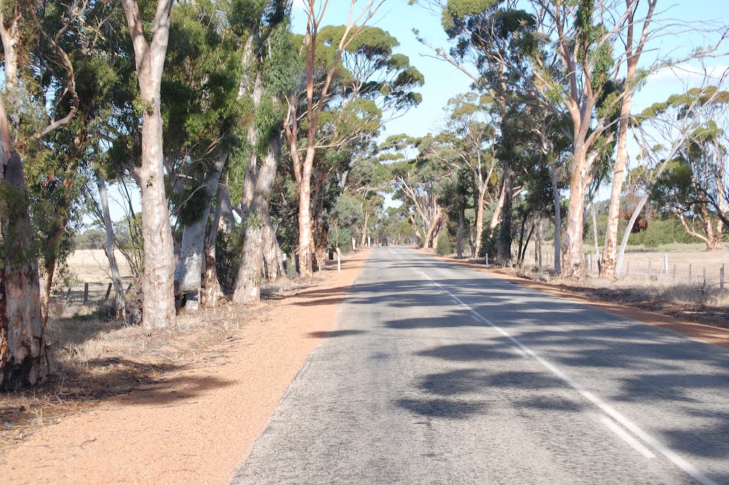
Photos of Mount Kokeby
Mount Kokeby Weather

Predicción: Clear sky
Temperatura: 22.8°
Humedad: 46%
Hora actual: 08:00 AM
Amanece: 06:34 AM
Anochece: 05:49 PM


