Distance between  Powers Creek and
  Dunrobin
24.21 mi Straight Distance
33.04 mi Driving Distance
1 hour 9 mins Estimated Driving Time
The straight distance between Powers Creek (Victoria) and Dunrobin (Victoria) is 24.21 mi, but the driving distance is 33.04 mi.
It takes to go from Powers Creek to Dunrobin.
Driving directions from Powers Creek to Dunrobin
Distance in kilometers
Straight distance: 38.95 km. Route distance: 53.16 km
Powers Creek, Australia
Latitude: -37.1962 // Longitude: 141.292
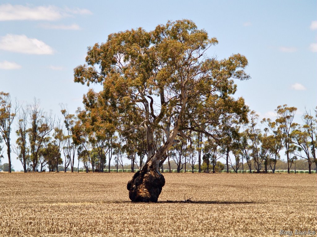
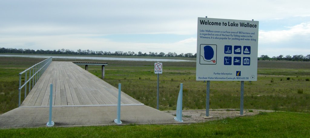
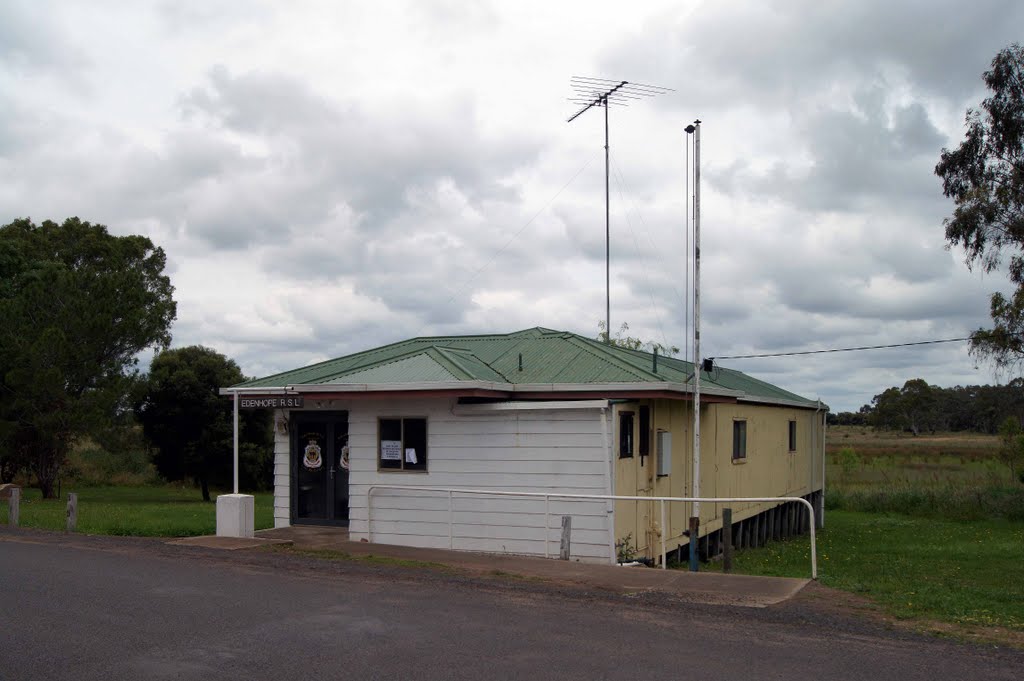
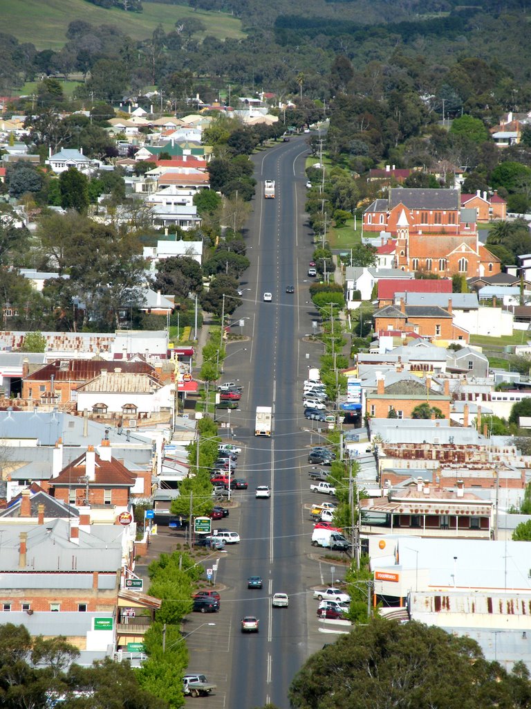
Photos of Powers Creek
Powers Creek Weather

Predicción: Overcast clouds
Temperatura: 13.7°
Humedad: 78%
Hora actual: 12:00 AM
Amanece: 09:04 PM
Anochece: 08:04 AM
Dunrobin, Australia
Latitude: -37.5387 // Longitude: 141.385
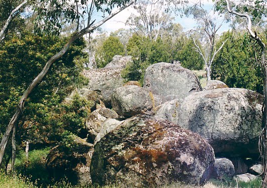
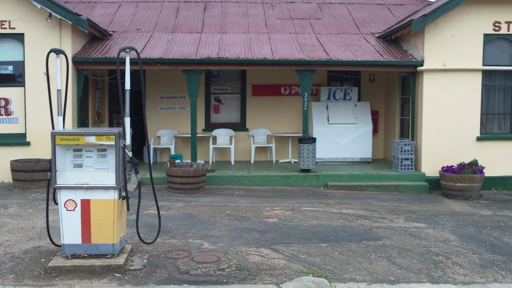
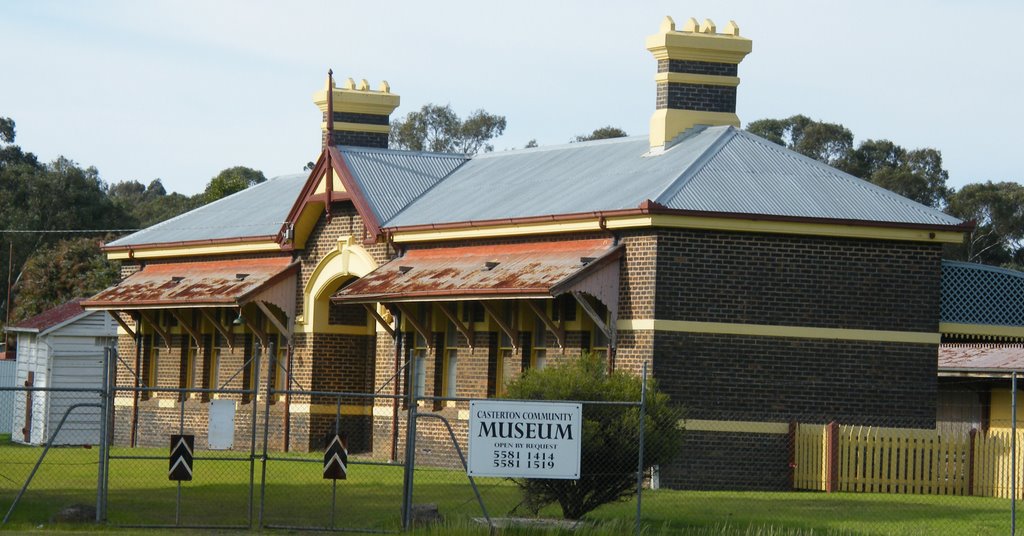
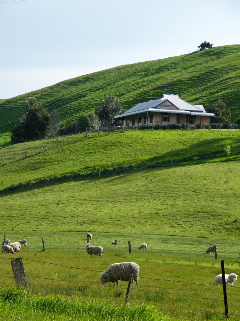
Photos of Dunrobin
Dunrobin Weather

Predicción: Overcast clouds
Temperatura: 13.6°
Humedad: 82%
Hora actual: 05:10 PM
Amanece: 07:03 AM
Anochece: 06:03 PM


