
Distance between  Portland and
  Taylors Arm
239.42 mi Straight Distance
387.89 mi Driving Distance
6 hours 55 mins Estimated Driving Time
The straight distance between Portland (New South Wales) and Taylors Arm (New South Wales) is 239.42 mi, but the driving distance is 387.89 mi.
It takes to go from Portland to Taylors Arm.
Driving directions from Portland to Taylors Arm
Distance in kilometers
Straight distance: 385.23 km. Route distance: 624.12 km
Portland, Australia
Latitude: -33.3533 // Longitude: 149.984
Photos of Portland


Portland Weather

Predicción: Overcast clouds
Temperatura: 14.4°
Humedad: 37%
Hora actual: 11:00 AM
Amanece: 06:25 AM
Anochece: 05:33 PM
Taylors Arm, Australia
Latitude: -30.7716 // Longitude: 152.712
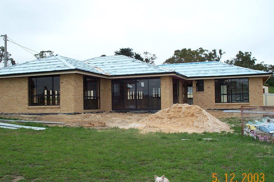
Photos of Taylors Arm
 - Taken on the Wednesday, 21st April 2010 at 12:33pm.")


Taylors Arm Weather

Predicción: Clear sky
Temperatura: 21.9°
Humedad: 48%
Hora actual: 10:00 AM
Amanece: 06:11 AM
Anochece: 05:24 PM


