Distance between  Port MacDonnell and
  Lyrup
Lyrup
262.29 mi Straight Distance
297.05 mi Driving Distance
5 hours 7 mins Estimated Driving Time
The straight distance between Port MacDonnell (South Australia) and Lyrup (South Australia) is 262.29 mi, but the driving distance is 297.05 mi.
It takes to go from Port MacDonnell to Lyrup.
Driving directions from Port MacDonnell to Lyrup
Distance in kilometers
Straight distance: 422.02 km. Route distance: 477.95 km
Port MacDonnell, Australia
Latitude: -38.0534 // Longitude: 140.702
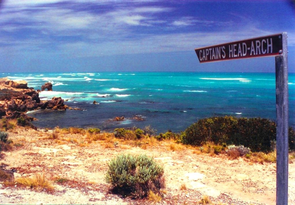
Photos of Port MacDonnell
Port MacDonnell Weather

Predicción: Overcast clouds
Temperatura: 15.8°
Humedad: 75%
Hora actual: 12:54 PM
Amanece: 06:37 AM
Anochece: 05:35 PM
Lyrup, Australia
Latitude: -34.2575 // Longitude: 140.648
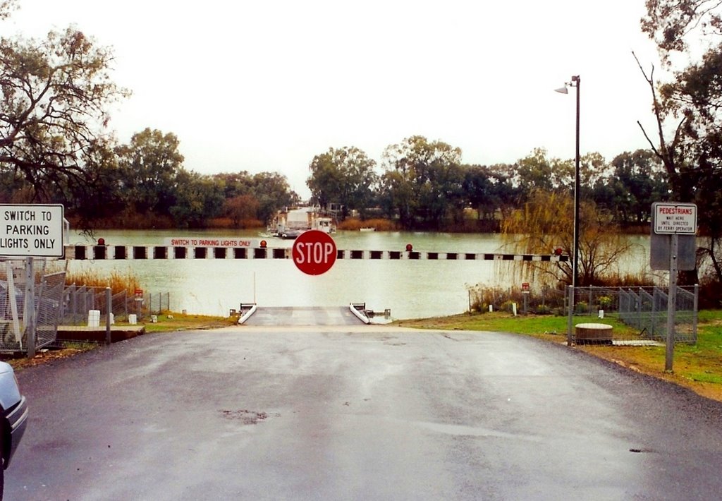
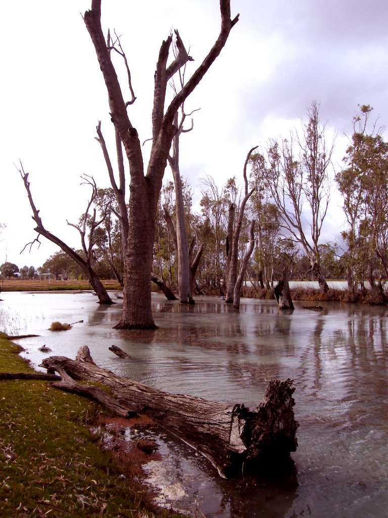
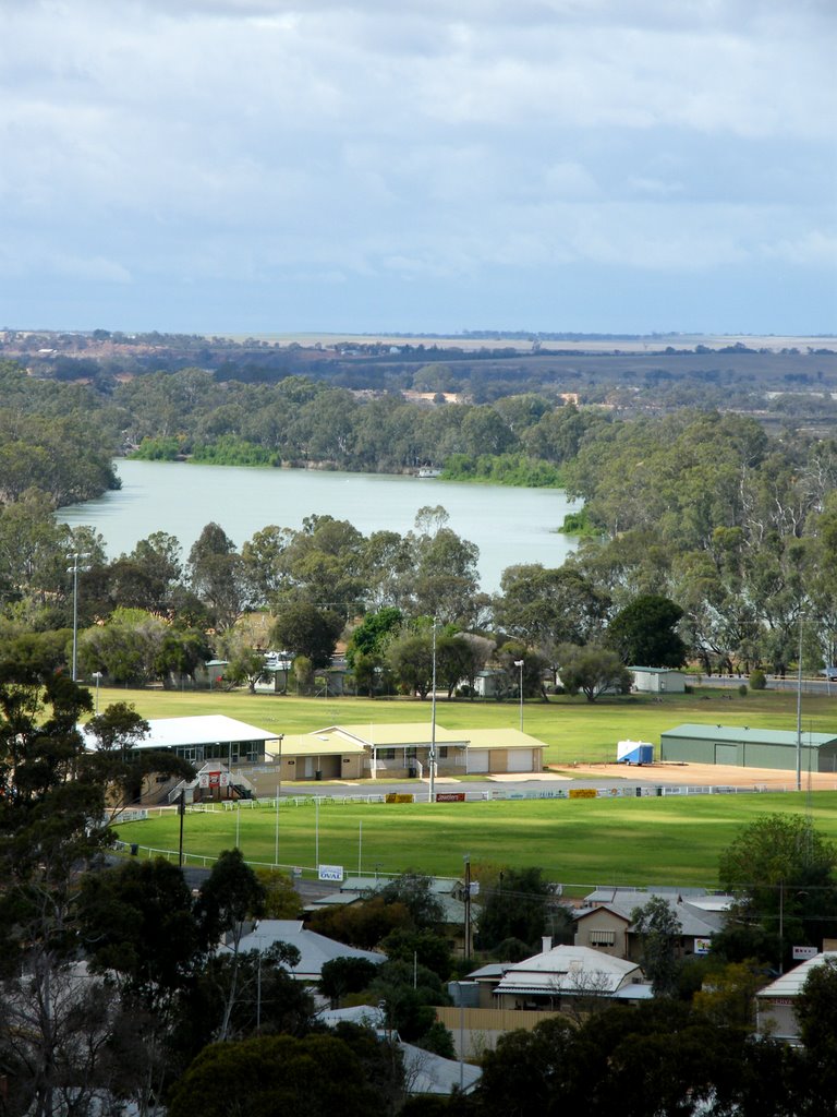
Photos of Lyrup
Lyrup Weather

Predicción: Clear sky
Temperatura: 19.5°
Humedad: 39%
Hora actual: 12:54 PM
Amanece: 06:32 AM
Anochece: 05:40 PM


