Distance between  Port Kenny and
  Mypolonga
296.93 mi Straight Distance
474.48 mi Driving Distance
8 hours 4 mins Estimated Driving Time
The straight distance between Port Kenny (South Australia) and Mypolonga (South Australia) is 296.93 mi, but the driving distance is 474.48 mi.
It takes 8 hours 55 mins to go from Port Kenny to Mypolonga.
Driving directions from Port Kenny to Mypolonga
Distance in kilometers
Straight distance: 477.75 km. Route distance: 763.44 km
Port Kenny, Australia
Latitude: -33.1675 // Longitude: 134.685
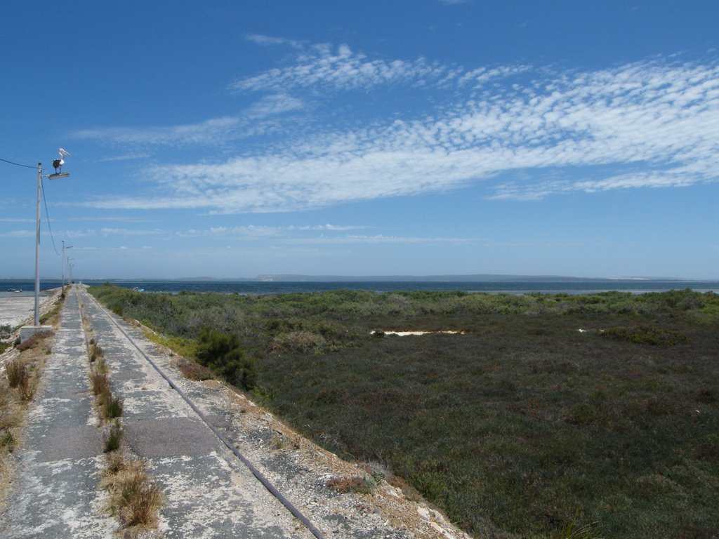
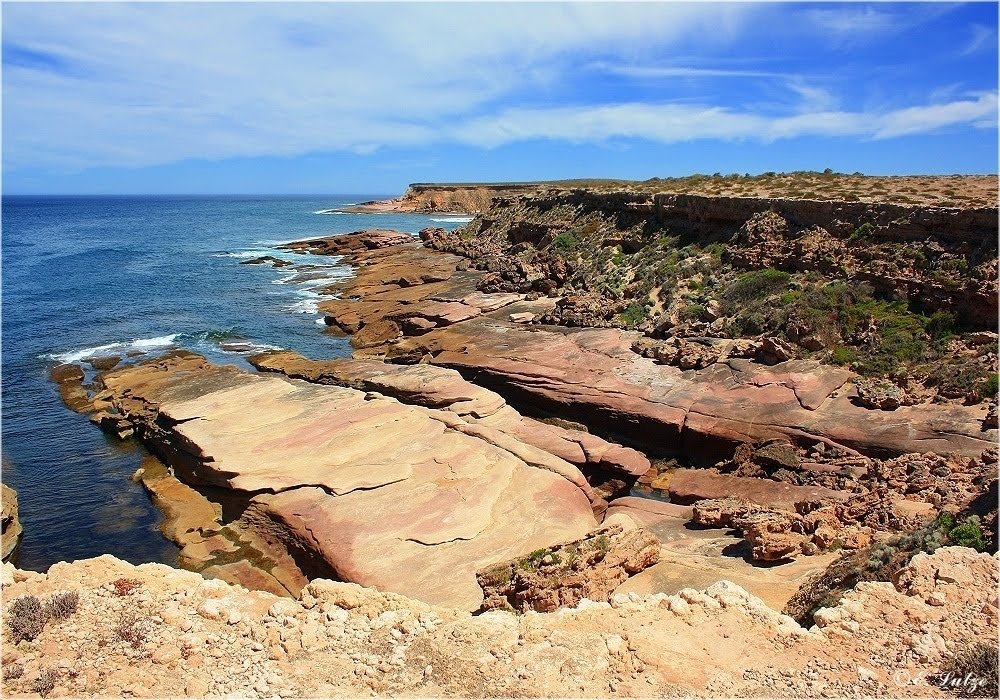
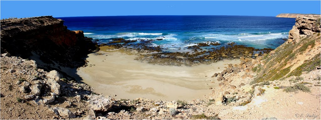
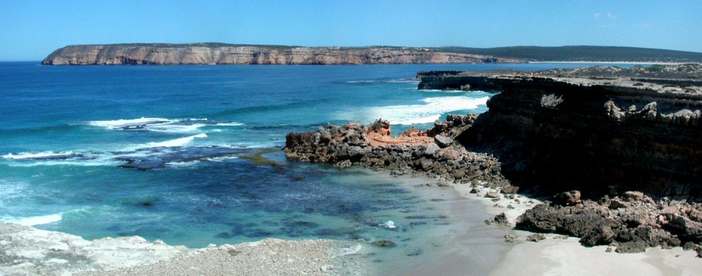
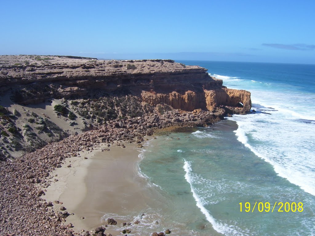
Photos of Port Kenny
Port Kenny Weather

Predicción: Clear sky
Temperatura: 12.2°
Humedad: 88%
Hora actual: 12:00 AM
Amanece: 09:24 PM
Anochece: 08:37 AM
Mypolonga, Australia
Latitude: -35.0424 // Longitude: 139.356
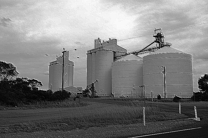
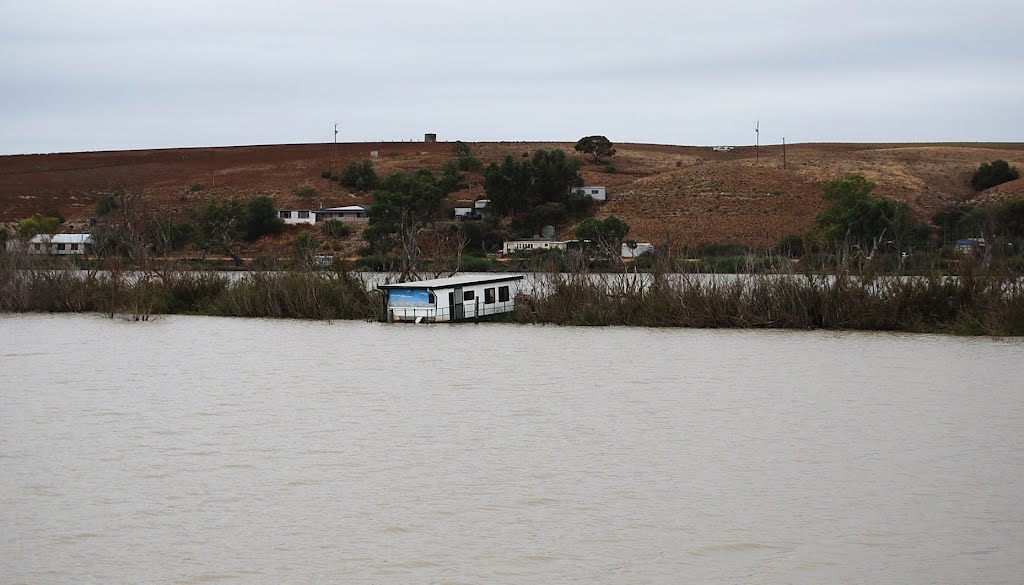
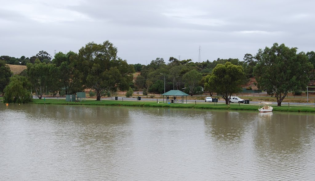
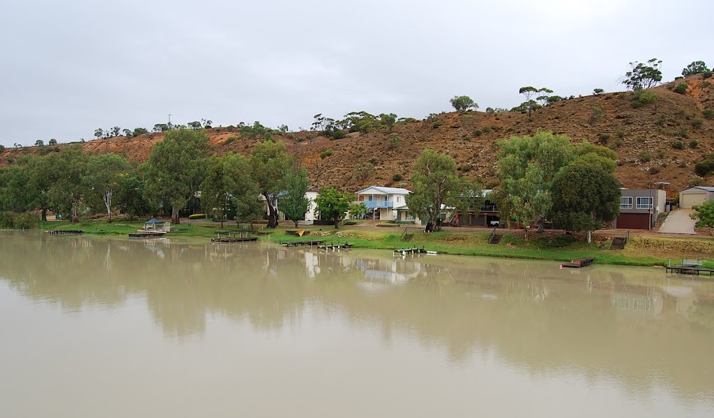
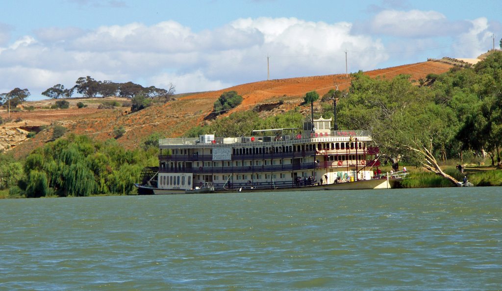
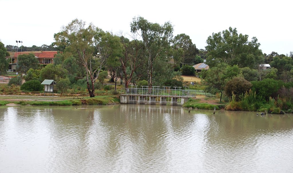
Photos of Mypolonga
Mypolonga Weather

Predicción: Clear sky
Temperatura: 10.5°
Humedad: 91%
Hora actual: 04:33 AM
Amanece: 06:38 AM
Anochece: 05:46 PM


