Distance between  Port Augusta and
  Mt Bryan
98.06 mi Straight Distance
113.08 mi Driving Distance
1 hour 56 mins Estimated Driving Time
The straight distance between Port Augusta (South Australia) and Mt Bryan (South Australia) is 98.06 mi, but the driving distance is 113.08 mi.
It takes to go from Port Augusta to Mt Bryan.
Driving directions from Port Augusta to Mt Bryan
Distance in kilometers
Straight distance: 157.78 km. Route distance: 181.95 km
Port Augusta, Australia
Latitude: -32.4924 // Longitude: 137.763
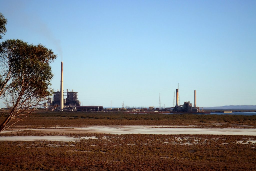
Photos of Port Augusta
Port Augusta Weather

Predicción: Clear sky
Temperatura: 23.6°
Humedad: 38%
Hora actual: 01:42 PM
Amanece: 06:41 AM
Anochece: 05:56 PM
Mt Bryan, Australia
Latitude: -33.5499 // Longitude: 138.892
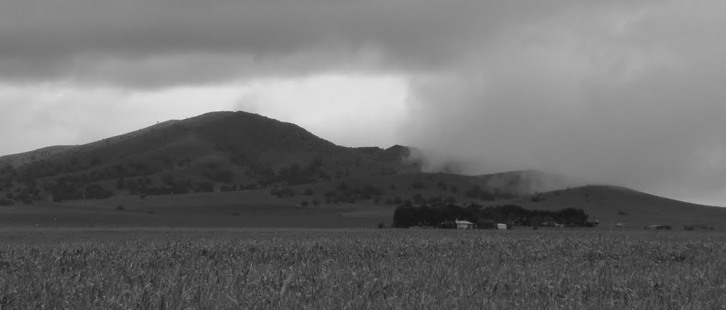
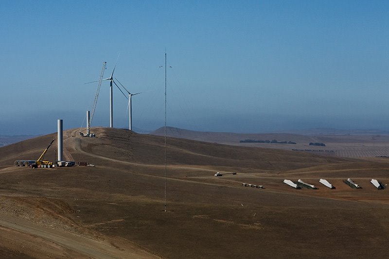
Photos of Mt Bryan
Mt Bryan Weather

Predicción: Scattered clouds
Temperatura: 20.1°
Humedad: 40%
Hora actual: 09:30 AM
Amanece: 06:37 AM
Anochece: 05:50 PM


