Distance between  Porongurup and
  Coomberdale
309.30 mi Straight Distance
357.72 mi Driving Distance
6 hours 18 mins Estimated Driving Time
The straight distance between Porongurup (Western Australia) and Coomberdale (Western Australia) is 309.30 mi, but the driving distance is 357.72 mi.
It takes to go from Porongurup to Coomberdale.
Driving directions from Porongurup to Coomberdale
Distance in kilometers
Straight distance: 497.67 km. Route distance: 575.57 km
Porongurup, Australia
Latitude: -34.6595 // Longitude: 117.895
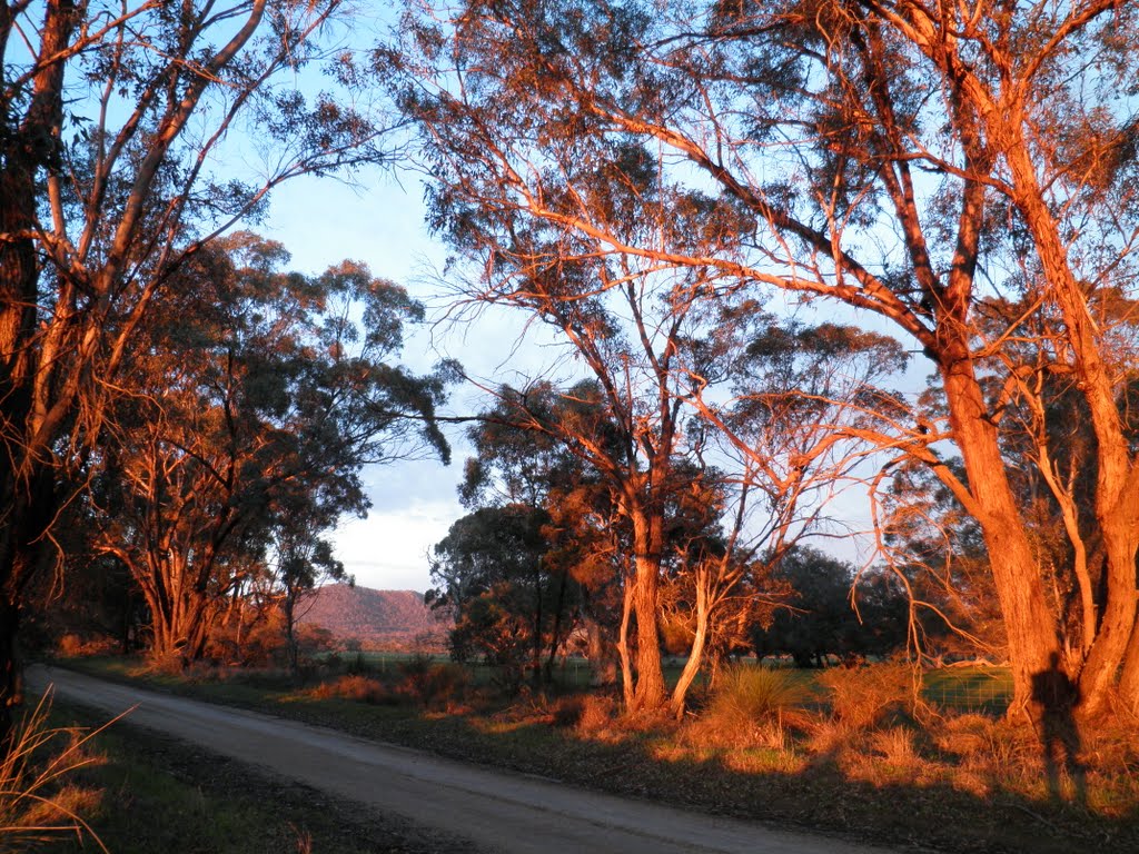
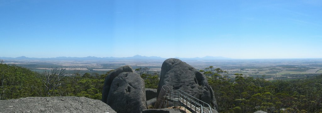
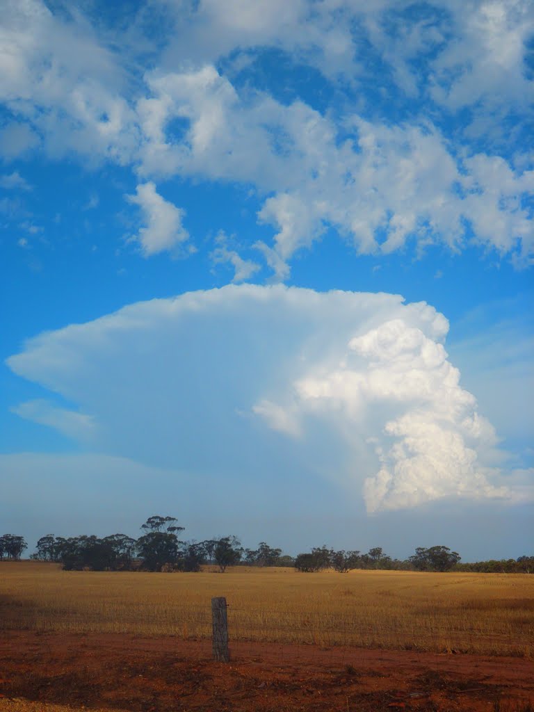
Photos of Porongurup
Porongurup Weather

Predicción: Clear sky
Temperatura: 14.4°
Humedad: 78%
Hora actual: 12:00 AM
Amanece: 10:34 PM
Anochece: 09:40 AM
Coomberdale, Australia
Latitude: -30.4654 // Longitude: 116.037
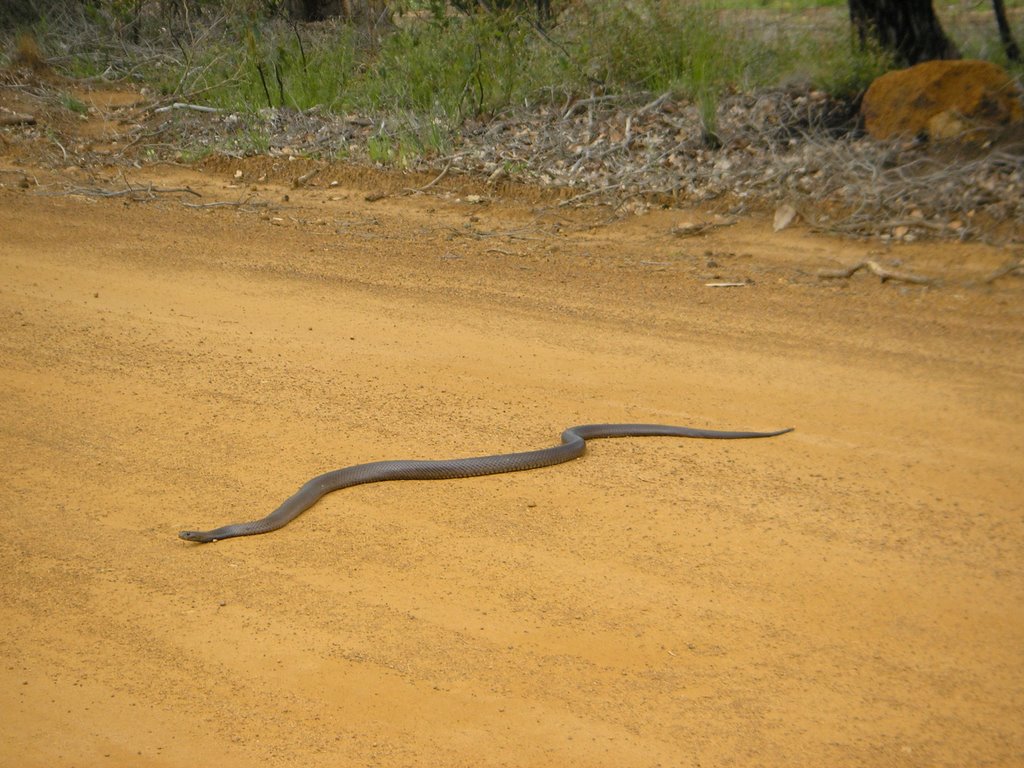
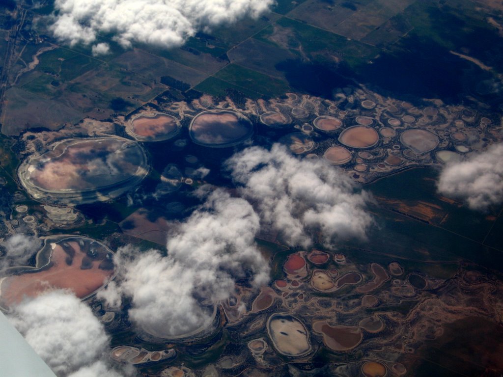
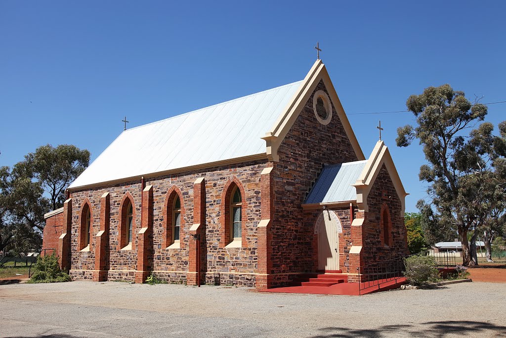
Photos of Coomberdale
Coomberdale Weather

Predicción: Clear sky
Temperatura: 23.4°
Humedad: 30%
Hora actual: 12:00 AM
Amanece: 10:37 PM
Anochece: 09:52 AM


