Distance between  Pontypool and
  Mount Hicks
143.73 mi Straight Distance
192.03 mi Driving Distance
3 hours 22 mins Estimated Driving Time
The straight distance between Pontypool (Tasmania) and Mount Hicks (Tasmania) is 143.73 mi, but the driving distance is 192.03 mi.
It takes to go from Pontypool to Mount Hicks.
Driving directions from Pontypool to Mount Hicks
Distance in kilometers
Straight distance: 231.26 km. Route distance: 308.97 km
Pontypool, Australia
Latitude: -42.3279 // Longitude: 147.963
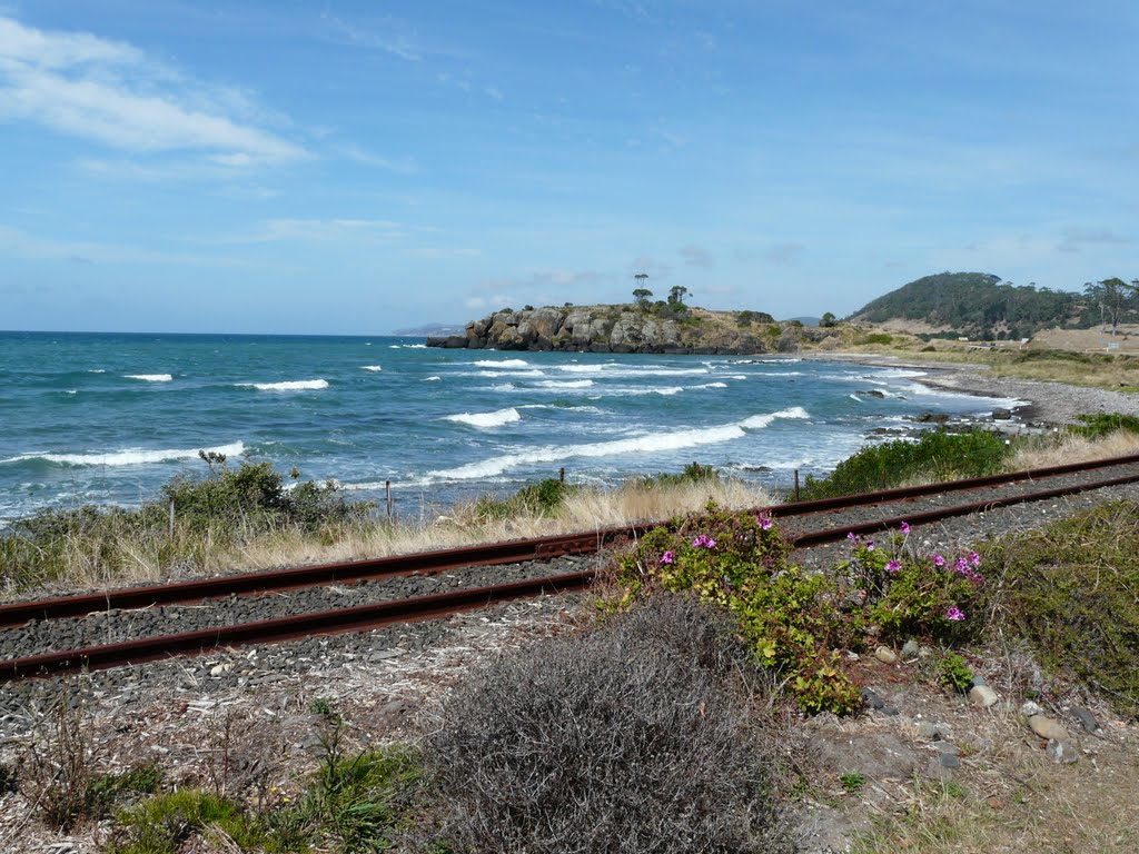
Photos of Pontypool
Pontypool Weather

Predicción: Overcast clouds
Temperatura: 13.4°
Humedad: 56%
Hora actual: 12:00 AM
Amanece: 08:45 PM
Anochece: 07:29 AM
Mount Hicks, Australia
Latitude: -41.0795 // Longitude: 145.734
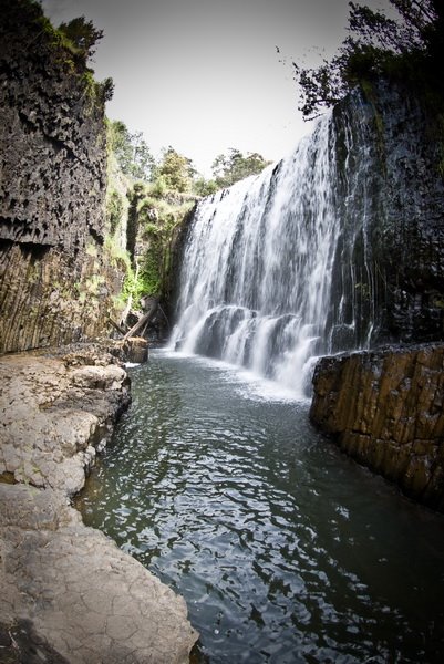
Photos of Mount Hicks
Mount Hicks Weather

Predicción: Clear sky
Temperatura: 15.9°
Humedad: 38%
Hora actual: 12:00 AM
Amanece: 08:52 PM
Anochece: 07:39 AM


