Distance between  Pomborneit East and
  Cooriemungle
23.13 mi Straight Distance
38.96 mi Driving Distance
1 hour 36 mins Estimated Driving Time
The straight distance between Pomborneit East (Victoria) and Cooriemungle (Victoria) is 23.13 mi, but the driving distance is 38.96 mi.
It takes to go from Pomborneit East to Cooriemungle.
Driving directions from Pomborneit East to Cooriemungle
Distance in kilometers
Straight distance: 37.22 km. Route distance: 62.69 km
Pomborneit East, Australia
Latitude: -38.2945 // Longitude: 143.368
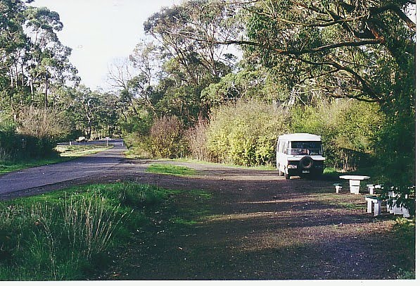
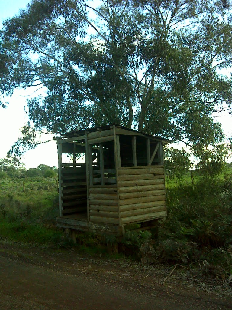
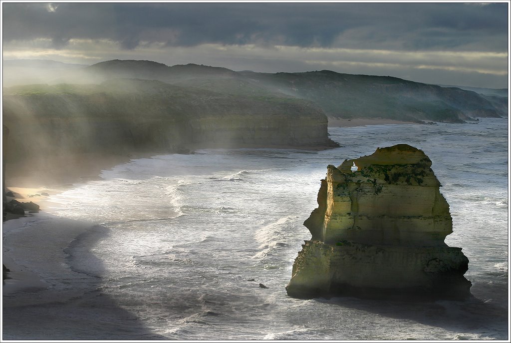
Photos of Pomborneit East
Pomborneit East Weather

Predicción: Broken clouds
Temperatura: 11.0°
Humedad: 91%
Hora actual: 12:00 AM
Amanece: 08:57 PM
Anochece: 07:54 AM
Cooriemungle, Australia
Latitude: -38.5411 // Longitude: 143.079
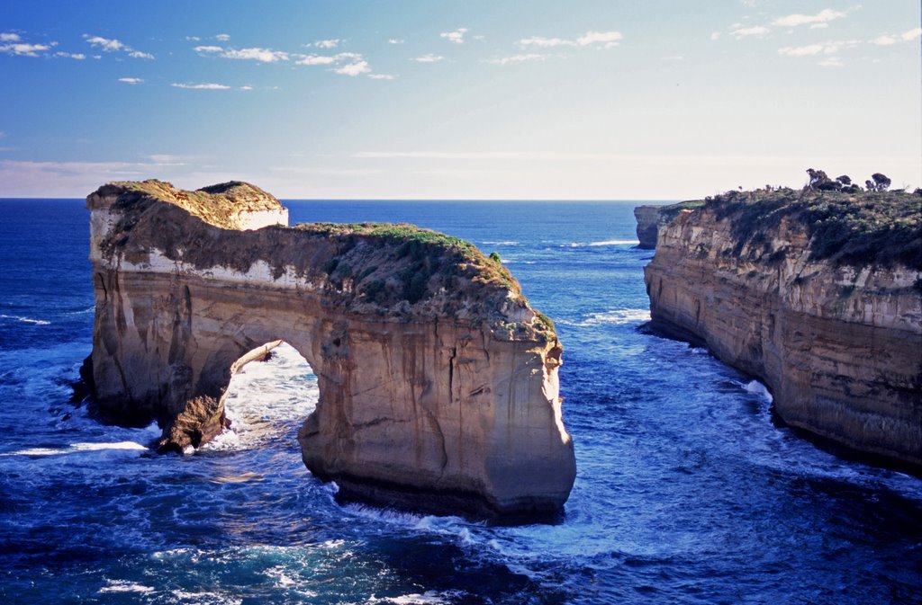
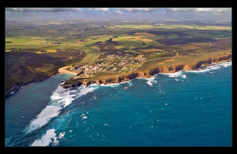
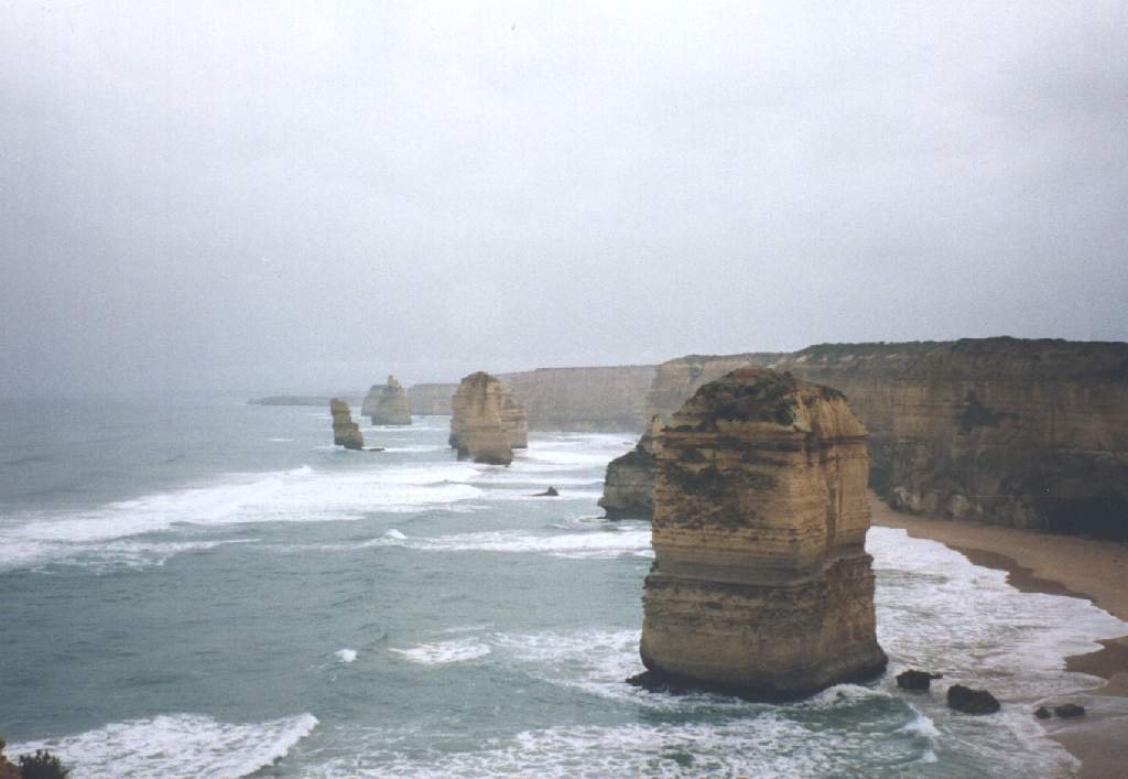
Photos of Cooriemungle
Cooriemungle Weather

Predicción: Overcast clouds
Temperatura: 11.5°
Humedad: 89%
Hora actual: 12:00 AM
Amanece: 08:58 PM
Anochece: 07:55 AM


