Distance between  Police Point and
  Melrose
865.20 mi Straight Distance
1,117.45 mi Driving Distance
22 hours 52 mins Estimated Driving Time
The straight distance between Police Point (Tasmania) and Melrose (South Australia) is 865.20 mi, but the driving distance is 1,117.45 mi.
It takes to go from Police Point to Melrose.
Driving directions from Police Point to Melrose
Distance in kilometers
Straight distance: 1,392.11 km. Route distance: 1,797.97 km
Police Point, Australia
Latitude: -43.2441 // Longitude: 147.046
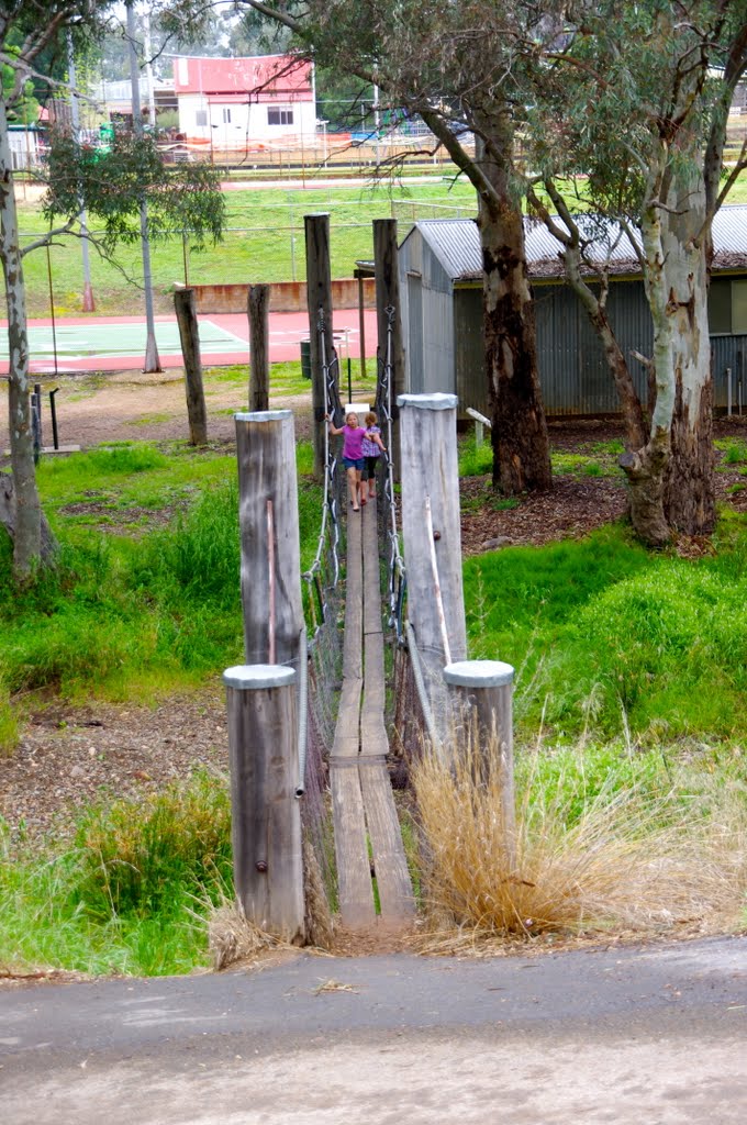
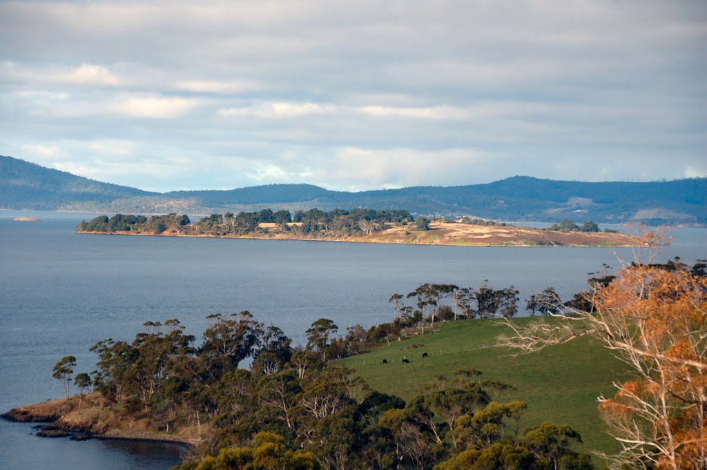
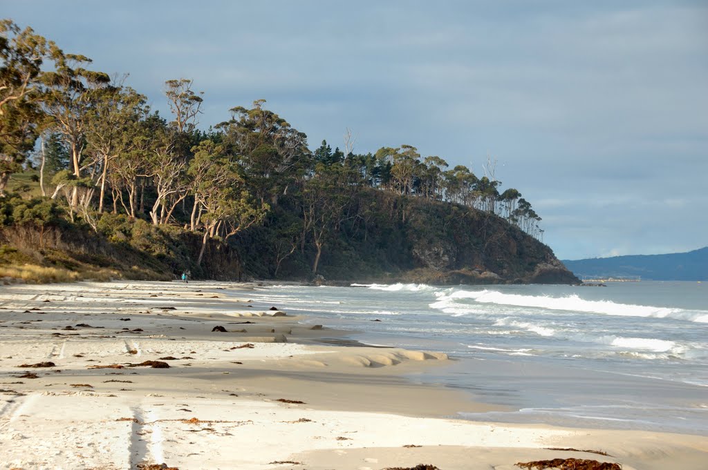
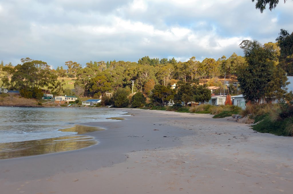
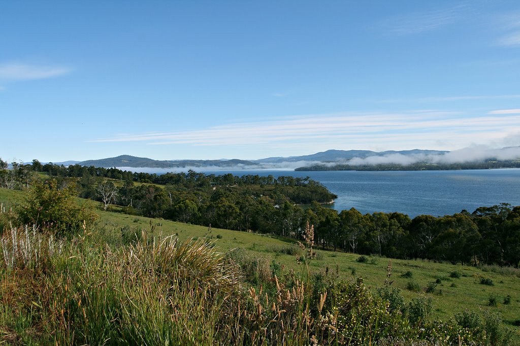
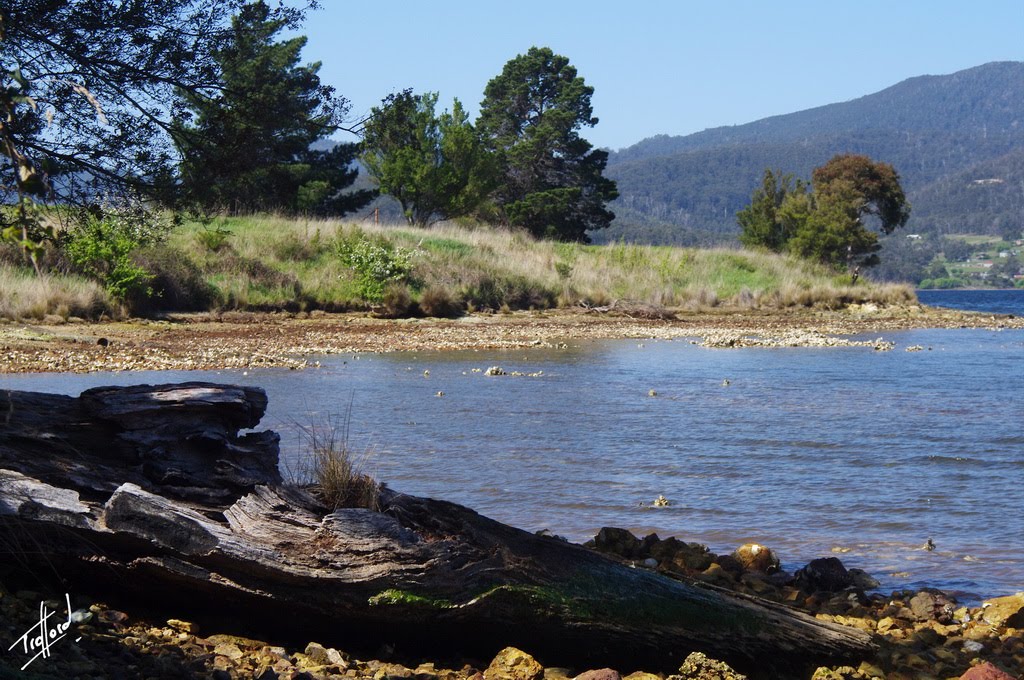
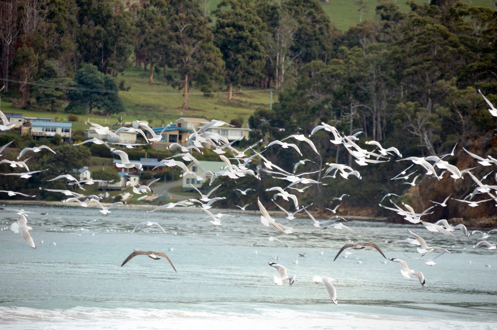
Photos of Police Point
Police Point Weather

Predicción: Overcast clouds
Temperatura: 13.9°
Humedad: 69%
Hora actual: 12:00 AM
Amanece: 08:48 PM
Anochece: 07:33 AM
Melrose, Australia
Latitude: -32.8255 // Longitude: 138.188
Photos of Melrose
Melrose Weather

Predicción: Overcast clouds
Temperatura: 15.1°
Humedad: 82%
Hora actual: 12:00 AM
Amanece: 09:11 PM
Anochece: 08:21 AM



![Grass Trees (Xanthorreas) on summit of Mount Remarkable [965 metres (3,165 feet) above sea level] Grass Trees (Xanthorreas) on summit of Mount Remarkable [965 metres (3,165 feet) above sea level]](/photos/6402988.jpg)

