Distance between  Point Turton and
  Eden Valley
100.86 mi Straight Distance
168.46 mi Driving Distance
2 hours 56 mins Estimated Driving Time
The straight distance between Point Turton (South Australia) and Eden Valley (South Australia) is 100.86 mi, but the driving distance is 168.46 mi.
It takes to go from Point Turton to Eden Valley.
Driving directions from Point Turton to Eden Valley
Distance in kilometers
Straight distance: 162.29 km. Route distance: 271.05 km
Point Turton, Australia
Latitude: -34.9525 // Longitude: 137.359
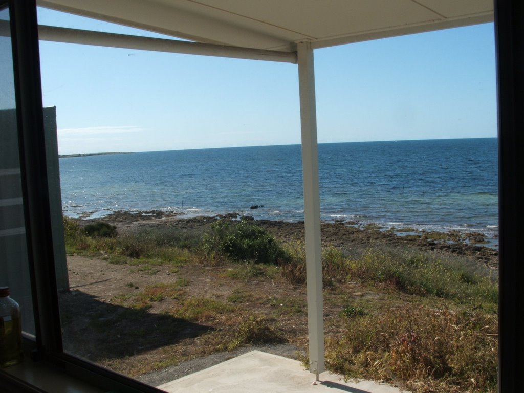
Photos of Point Turton
Point Turton Weather

Predicción: Broken clouds
Temperatura: 15.1°
Humedad: 79%
Hora actual: 12:00 AM
Amanece: 09:17 PM
Anochece: 08:22 AM
Eden Valley, Australia
Latitude: -34.6419 // Longitude: 139.096
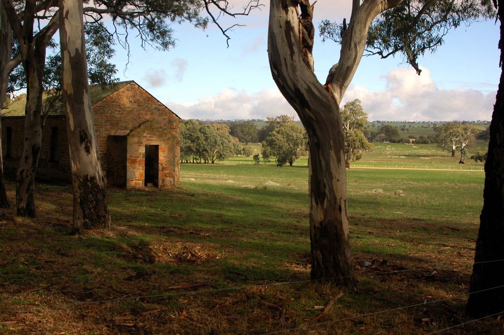
Photos of Eden Valley
Eden Valley Weather

Predicción: Broken clouds
Temperatura: 12.3°
Humedad: 79%
Hora actual: 09:23 PM
Amanece: 06:39 AM
Anochece: 05:46 PM


