Distance between  Point Mcleay and
  Nantawarra
116.47 mi Straight Distance
167.74 mi Driving Distance
3 hours 30 mins Estimated Driving Time
The straight distance between Point Mcleay (South Australia) and Nantawarra (South Australia) is 116.47 mi, but the driving distance is 167.74 mi.
It takes 3 hours 35 mins to go from Point Mcleay to Nantawarra.
Driving directions from Point Mcleay to Nantawarra
Distance in kilometers
Straight distance: 187.41 km. Route distance: 269.90 km
Point Mcleay, Australia
Latitude: -35.5333 // Longitude: 139.1
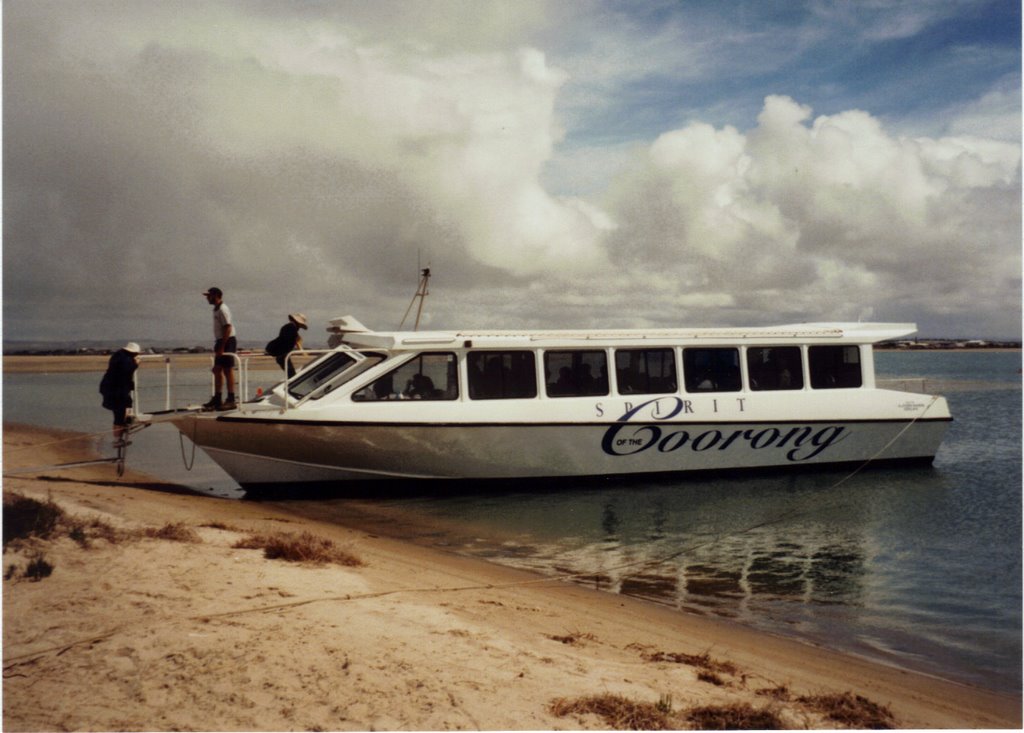
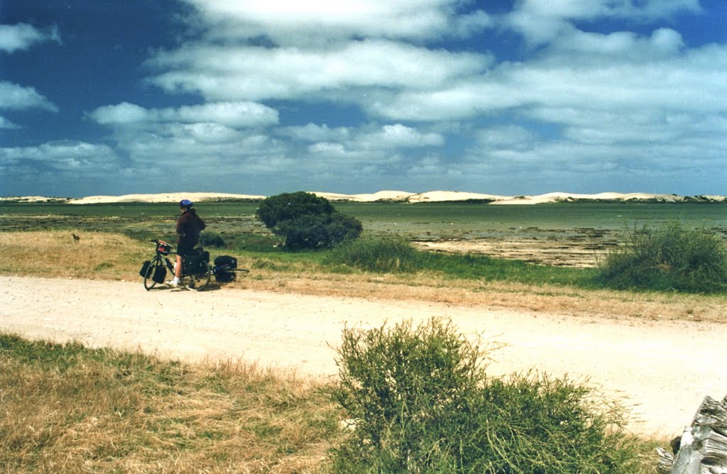
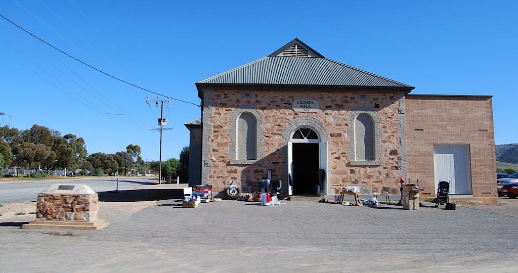
Photos of Point Mcleay
Point Mcleay Weather

Predicción: Clear sky
Temperatura: 16.7°
Humedad: 66%
Hora actual: 12:00 AM
Amanece: 09:11 PM
Anochece: 08:13 AM
Nantawarra, Australia
Latitude: -34.0069 // Longitude: 138.229
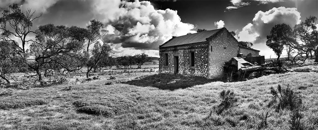
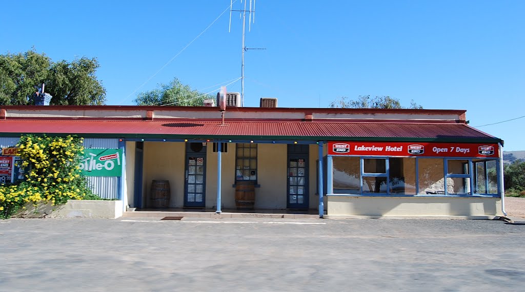
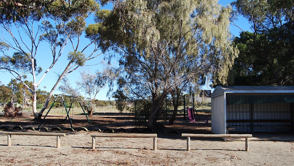
Photos of Nantawarra
Nantawarra Weather

Predicción: Overcast clouds
Temperatura: 14.4°
Humedad: 83%
Hora actual: 12:00 AM
Amanece: 09:13 PM
Anochece: 08:18 AM


