Distance between  Pinnaroo and
  Iron Knob
277.25 mi Straight Distance
354.21 mi Driving Distance
5 hours 41 mins Estimated Driving Time
The straight distance between Pinnaroo (South Australia) and Iron Knob (South Australia) is 277.25 mi, but the driving distance is 354.21 mi.
It takes 6 hours 9 mins to go from Pinnaroo to Iron Knob.
Driving directions from Pinnaroo to Iron Knob
Distance in kilometers
Straight distance: 446.09 km. Route distance: 569.92 km
Pinnaroo, Australia
Latitude: -35.2604 // Longitude: 140.908
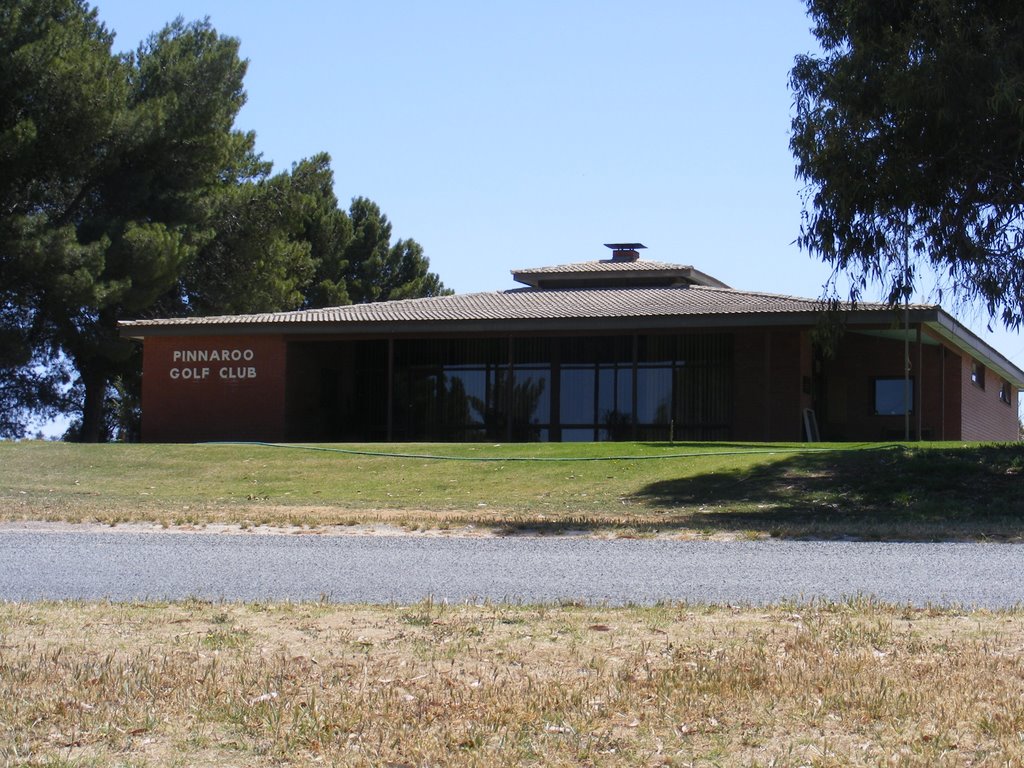
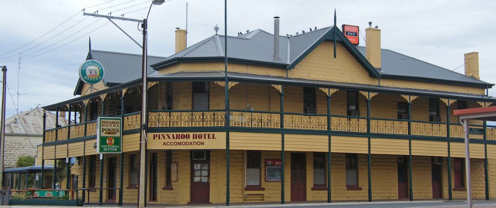
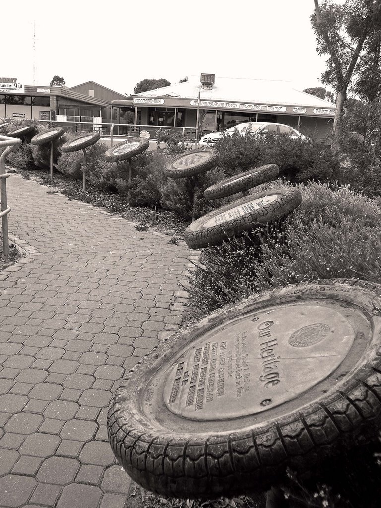
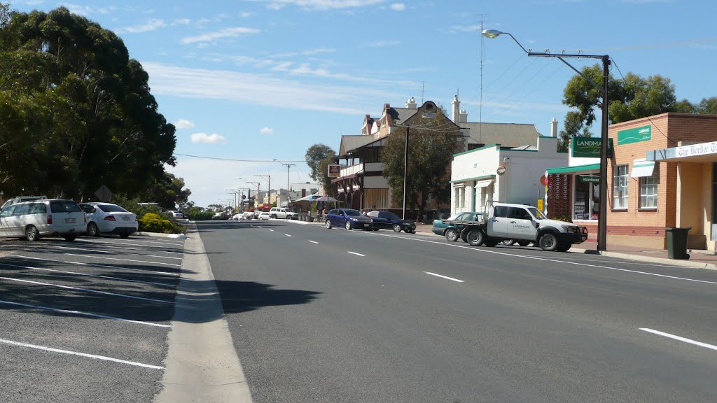
Photos of Pinnaroo
Pinnaroo Weather

Predicción: Broken clouds
Temperatura: 13.7°
Humedad: 55%
Hora actual: 08:20 AM
Amanece: 06:33 AM
Anochece: 05:37 PM
Iron Knob, Australia
Latitude: -32.7308 // Longitude: 137.15
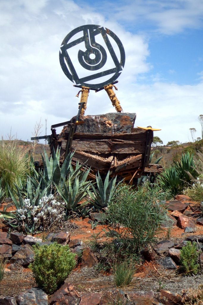
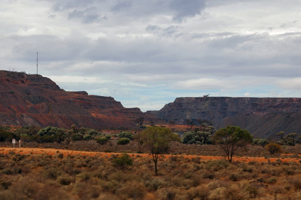
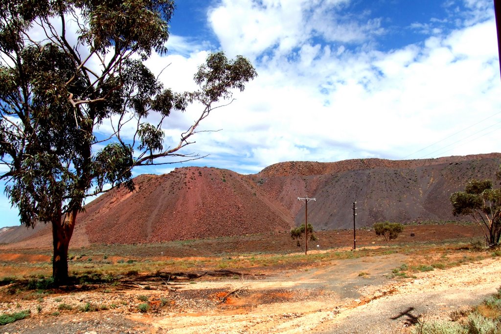
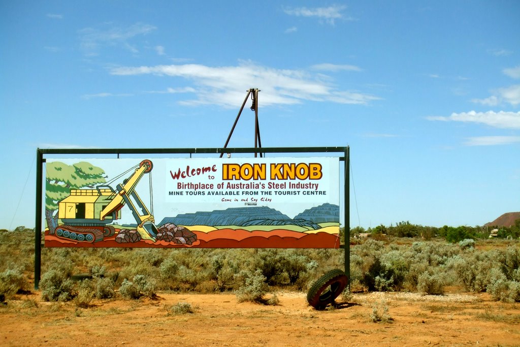
Photos of Iron Knob
Iron Knob Weather

Predicción: Broken clouds
Temperatura: 16.2°
Humedad: 78%
Hora actual: 09:30 AM
Amanece: 06:45 AM
Anochece: 05:54 PM


