Distance between  Pingrup and
  Nabawa
411.65 mi Straight Distance
507.23 mi Driving Distance
8 hours 11 mins Estimated Driving Time
The straight distance between Pingrup (Western Australia) and Nabawa (Western Australia) is 411.65 mi, but the driving distance is 507.23 mi.
It takes 9 hours 2 mins to go from Pingrup to Nabawa.
Driving directions from Pingrup to Nabawa
Distance in kilometers
Straight distance: 662.34 km. Route distance: 816.13 km
Pingrup, Australia
Latitude: -33.5339 // Longitude: 118.511
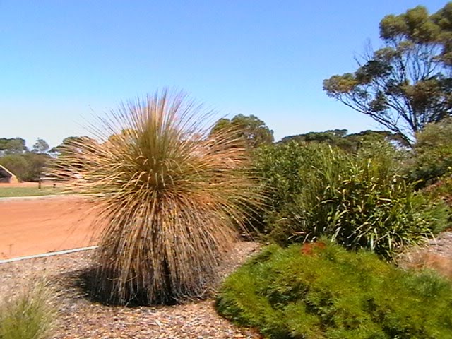
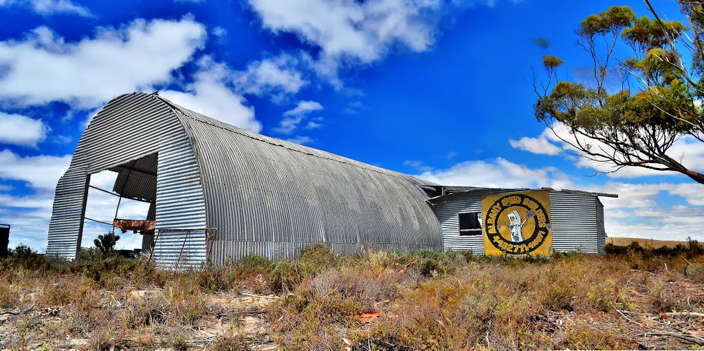
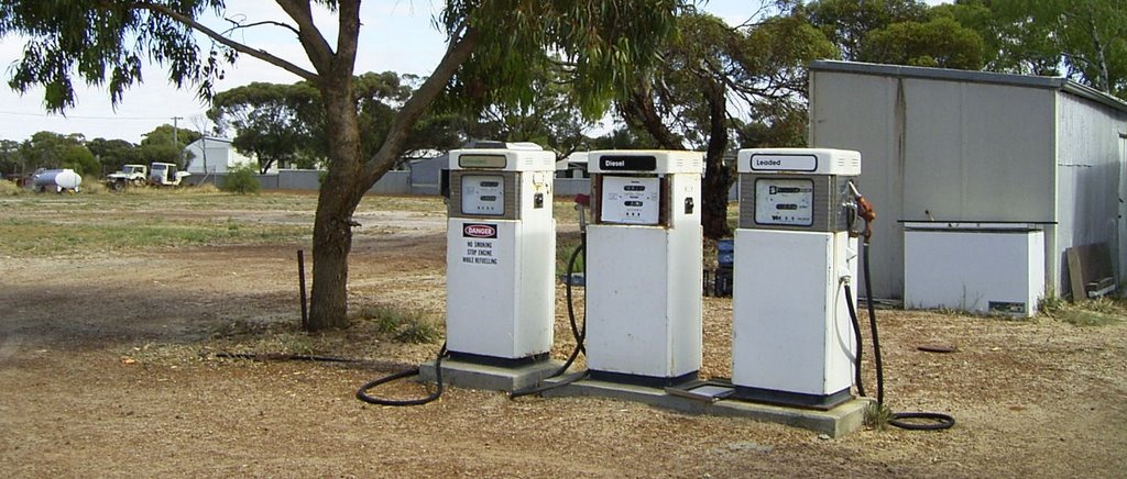
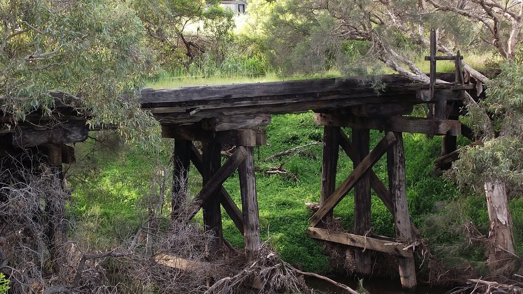
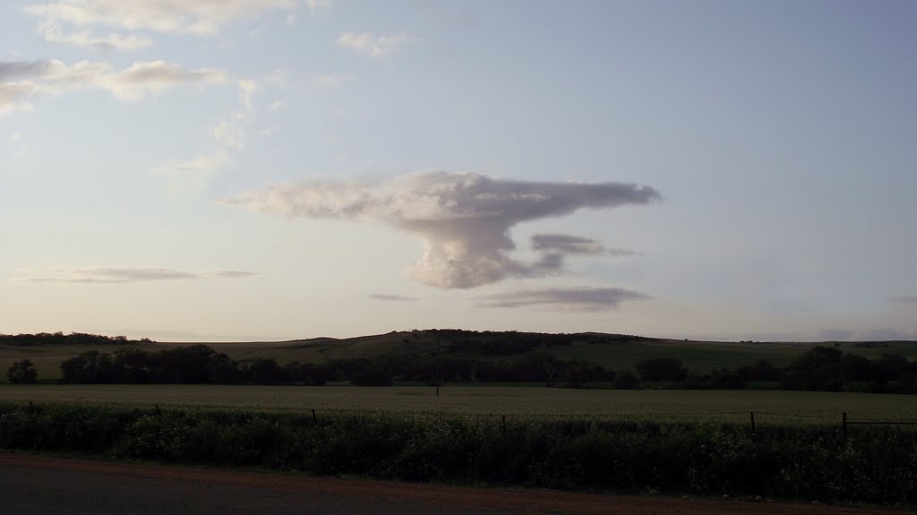
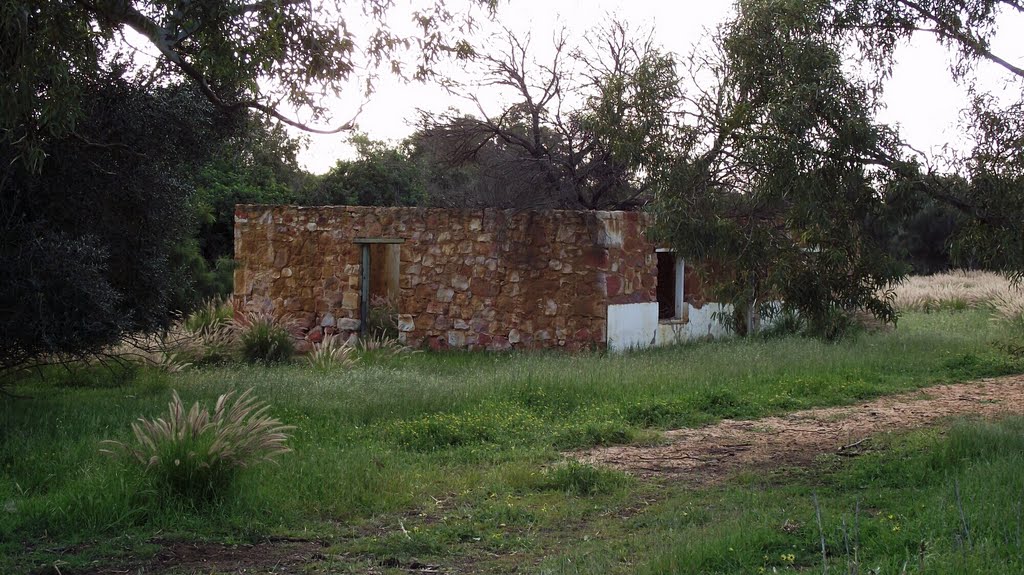
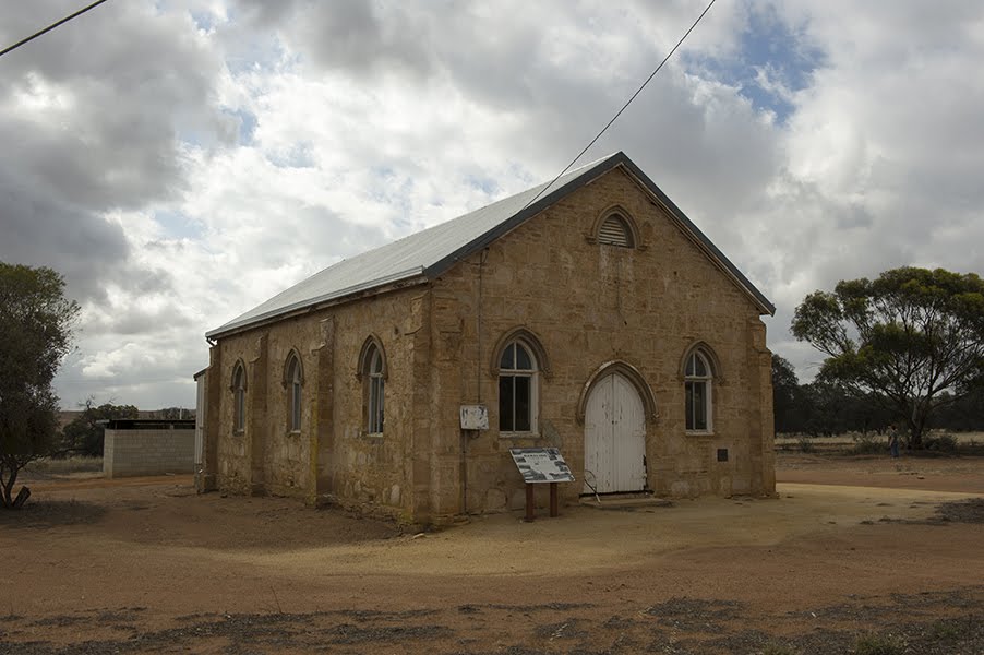
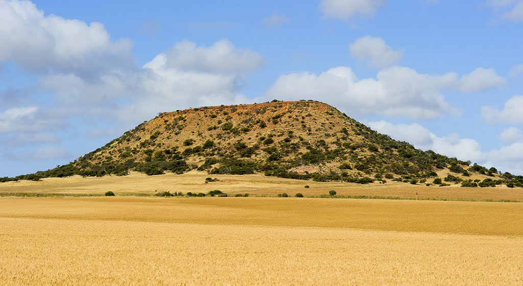
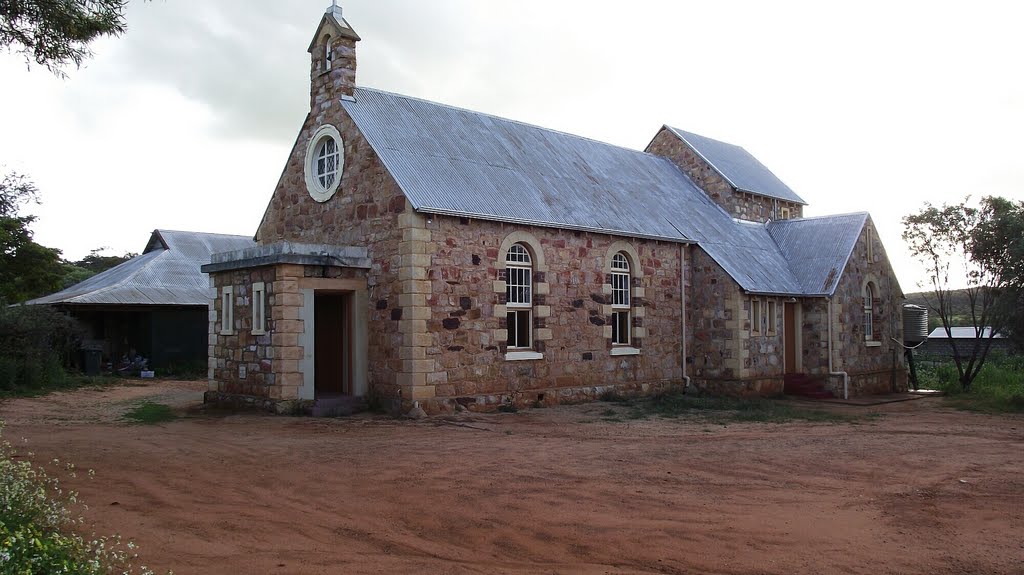
Photos of Pingrup
Pingrup Weather

Predicción: Clear sky
Temperatura: 13.1°
Humedad: 56%
Hora actual: 12:00 AM
Amanece: 10:31 PM
Anochece: 09:39 AM
Nabawa, Australia
Latitude: -28.4988 // Longitude: 114.792
Photos of Nabawa
Nabawa Weather

Predicción: Clear sky
Temperatura: 21.2°
Humedad: 27%
Hora actual: 12:00 AM
Amanece: 10:40 PM
Anochece: 09:59 AM


