Distance between  Pingaring and
  Buntine
226.51 mi Straight Distance
316.65 mi Driving Distance
4 hours 58 mins Estimated Driving Time
The straight distance between Pingaring (Western Australia) and Buntine (Western Australia) is 226.51 mi, but the driving distance is 316.65 mi.
It takes to go from Pingaring to Buntine.
Driving directions from Pingaring to Buntine
Distance in kilometers
Straight distance: 364.45 km. Route distance: 509.50 km
Pingaring, Australia
Latitude: -32.7572 // Longitude: 118.625
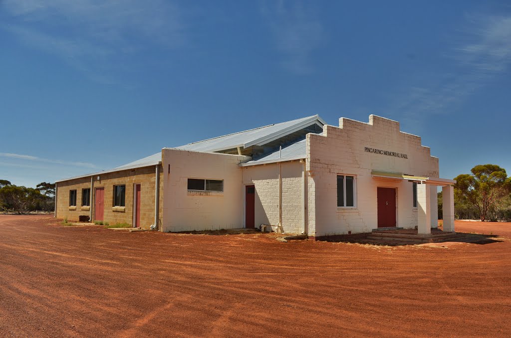
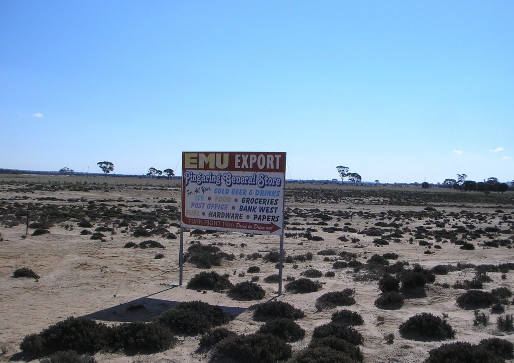
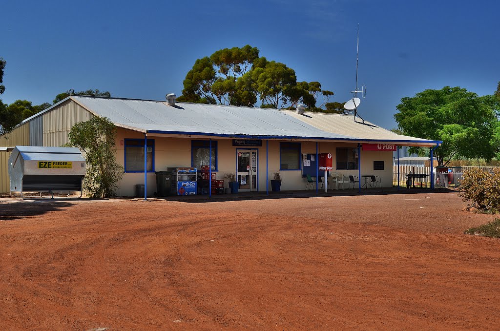
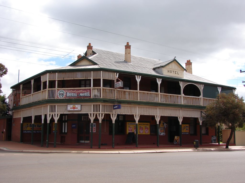
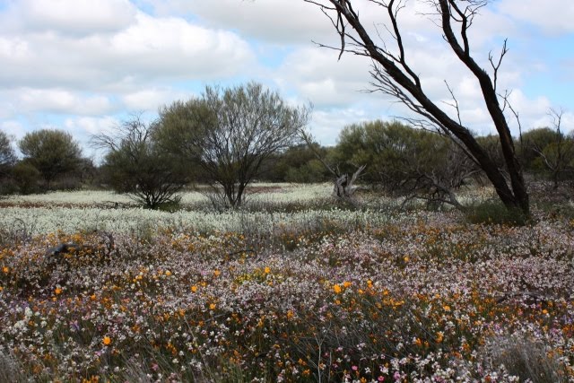
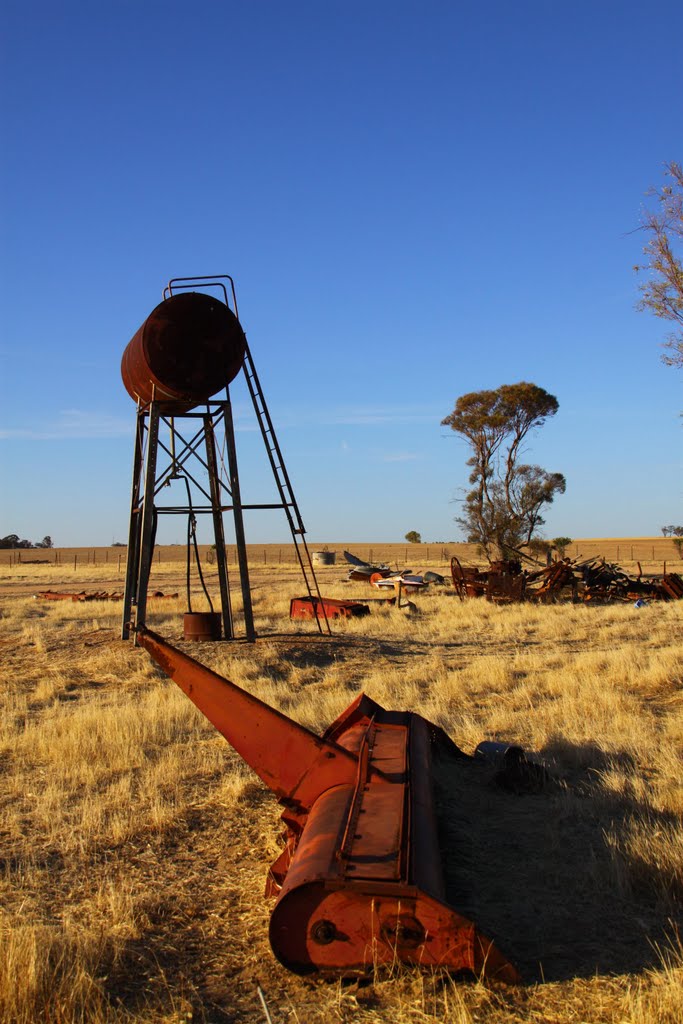
Photos of Pingaring
Pingaring Weather

Predicción: Clear sky
Temperatura: 26.4°
Humedad: 23%
Hora actual: 12:00 AM
Amanece: 10:29 PM
Anochece: 09:39 AM
Buntine, Australia
Latitude: -29.9872 // Longitude: 116.571
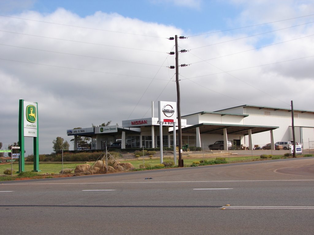
Photos of Buntine
Buntine Weather

Predicción: Clear sky
Temperatura: 29.8°
Humedad: 21%
Hora actual: 12:00 AM
Amanece: 10:35 PM
Anochece: 09:50 AM


