Distance between  Petticoat Creek and
  Lake Gardens
80.96 mi Straight Distance
117.16 mi Driving Distance
2 hours 29 mins Estimated Driving Time
The straight distance between Petticoat Creek (Victoria) and Lake Gardens (Victoria) is 80.96 mi, but the driving distance is 117.16 mi.
It takes 2 hours 31 mins to go from Petticoat Creek to Lake Gardens.
Driving directions from Petticoat Creek to Lake Gardens
Distance in kilometers
Straight distance: 130.27 km. Route distance: 188.52 km
Petticoat Creek, Australia
Latitude: -38.7164 // Longitude: 143.733
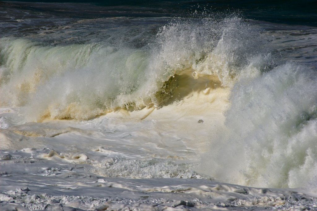
Photos of Petticoat Creek
Petticoat Creek Weather

Predicción: Overcast clouds
Temperatura: 11.8°
Humedad: 78%
Hora actual: 03:28 AM
Amanece: 06:54 AM
Anochece: 05:54 PM
Lake Gardens, Australia
Latitude: -37.5466 // Longitude: 143.82
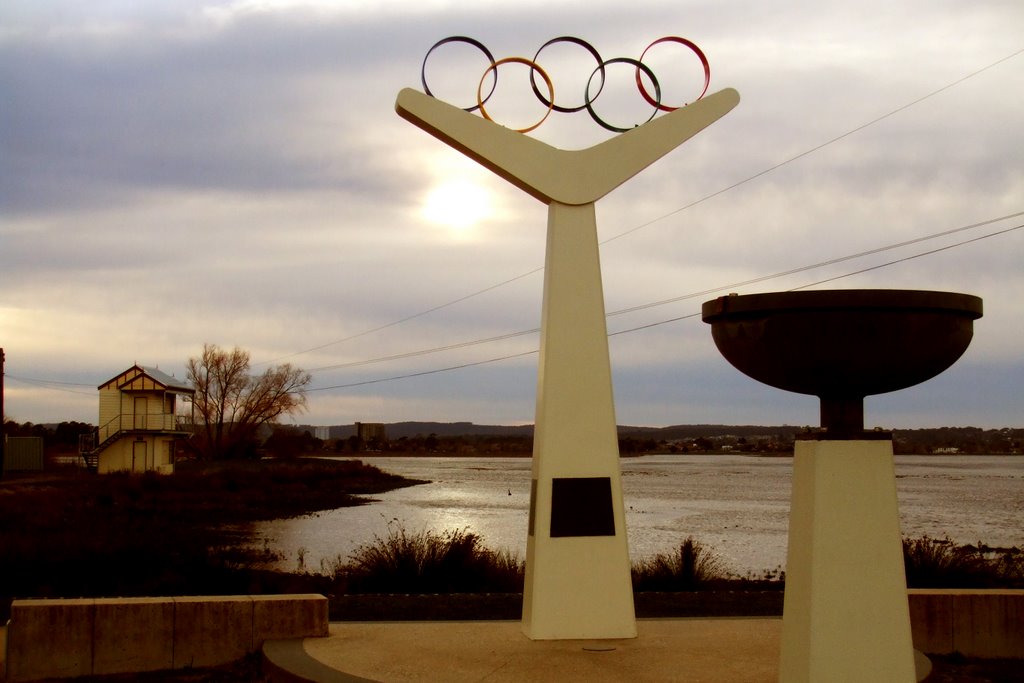
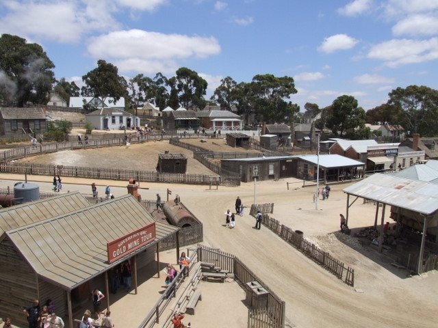
Photos of Lake Gardens
Lake Gardens Weather

Predicción: Overcast clouds
Temperatura: 10.2°
Humedad: 89%
Hora actual: 03:28 AM
Amanece: 06:53 AM
Anochece: 05:55 PM


