Distance between  Petticoat Creek and
  Evansford
100.83 mi Straight Distance
142.66 mi Driving Distance
2 hours 54 mins Estimated Driving Time
The straight distance between Petticoat Creek (Victoria) and Evansford (Victoria) is 100.83 mi, but the driving distance is 142.66 mi.
It takes to go from Petticoat Creek to Evansford.
Driving directions from Petticoat Creek to Evansford
Distance in kilometers
Straight distance: 162.23 km. Route distance: 229.54 km
Petticoat Creek, Australia
Latitude: -38.7164 // Longitude: 143.733
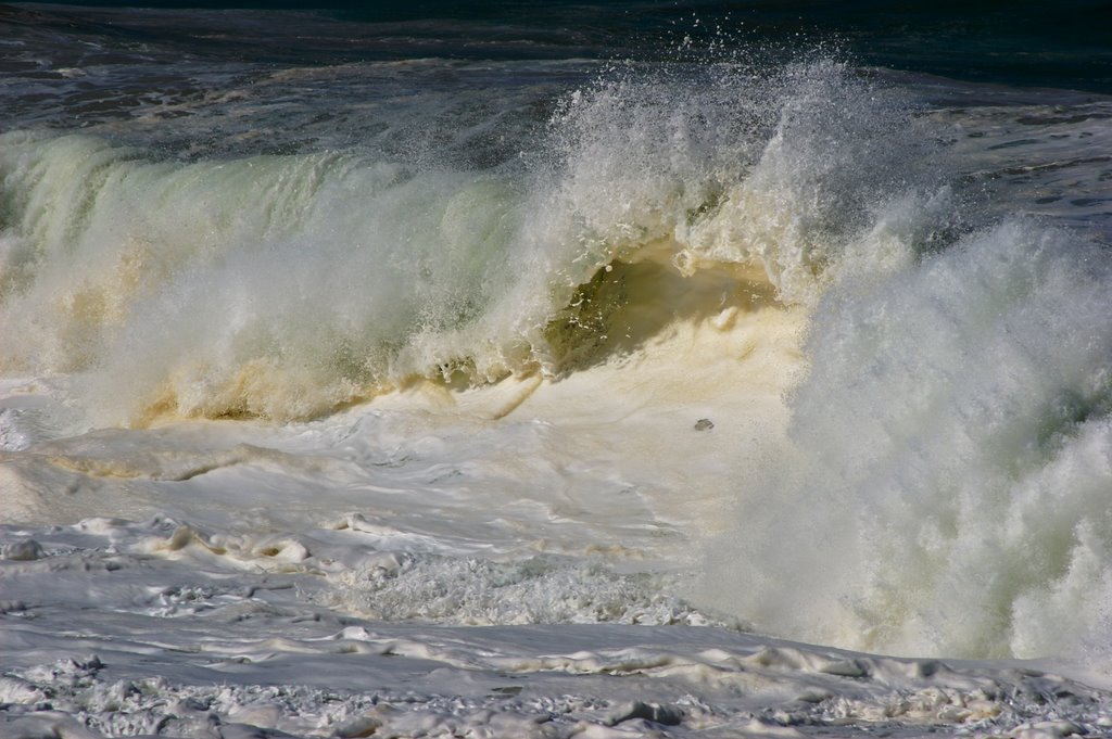
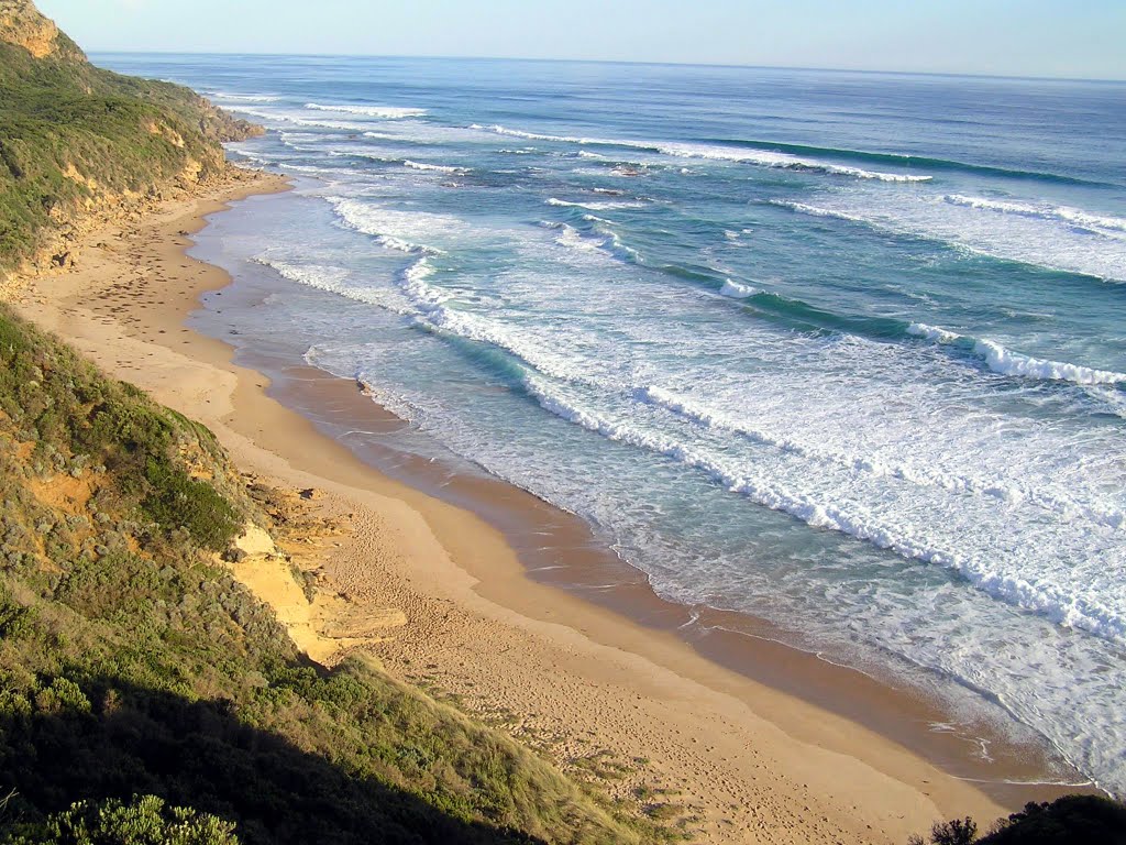
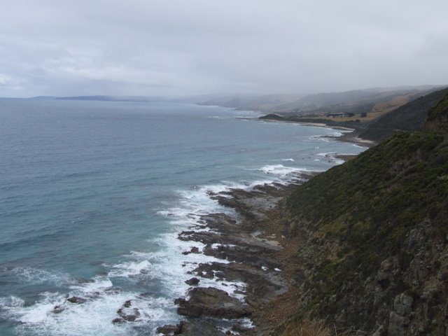
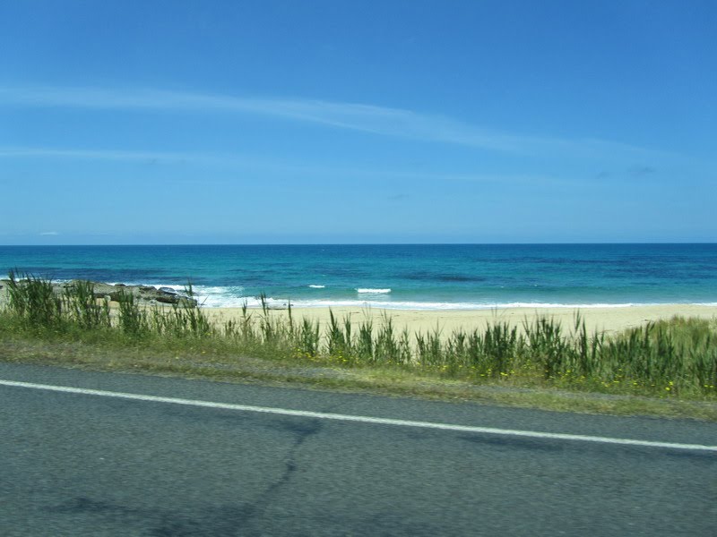
Photos of Petticoat Creek
Petticoat Creek Weather

Predicción: Overcast clouds
Temperatura: 12.6°
Humedad: 88%
Hora actual: 03:03 PM
Amanece: 06:55 AM
Anochece: 05:53 PM
Evansford, Australia
Latitude: -37.2594 // Longitude: 143.63
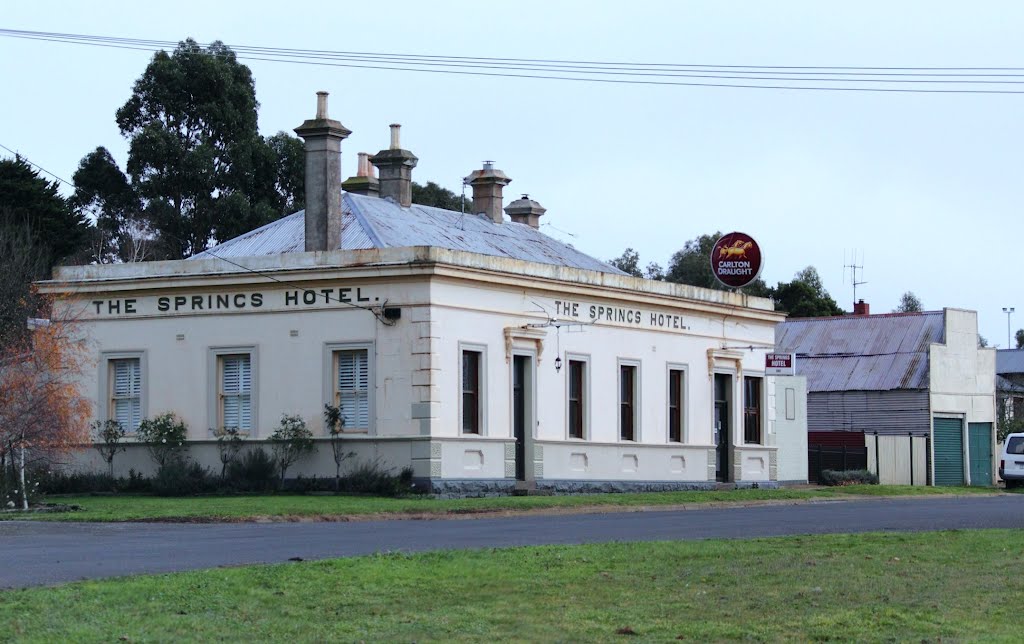
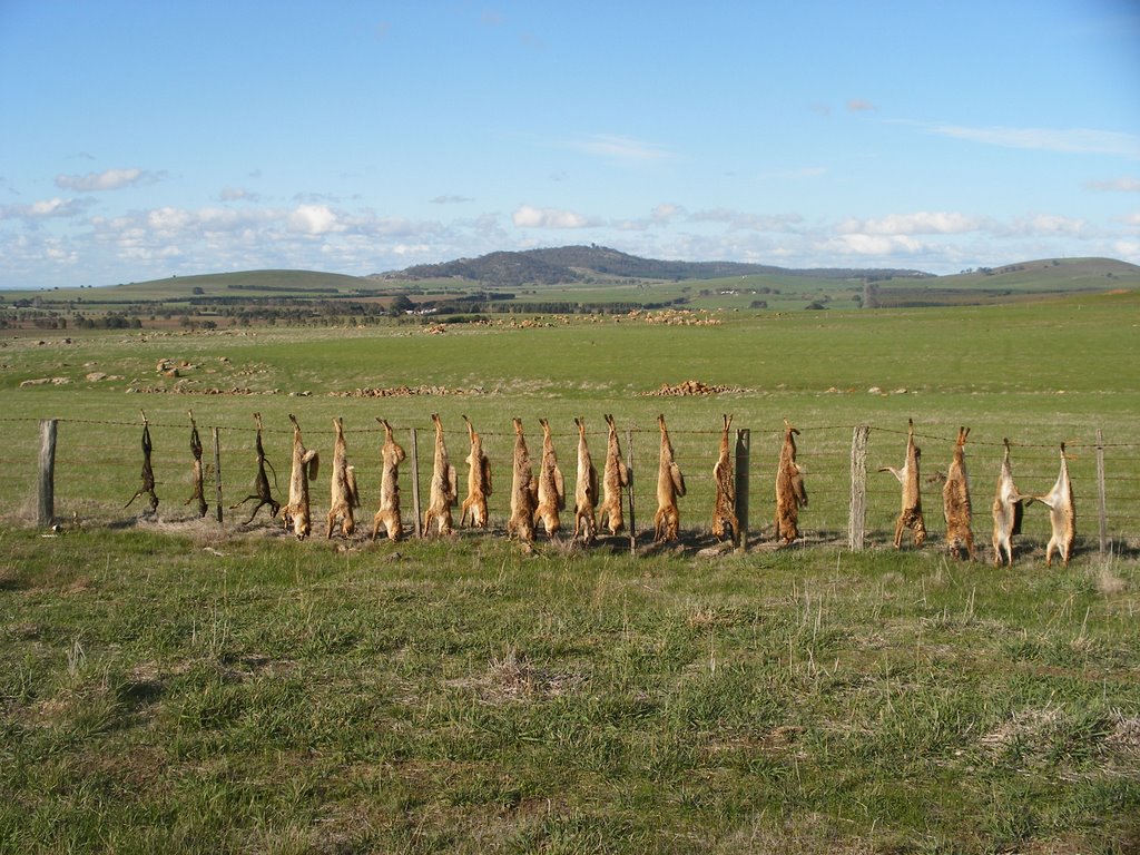
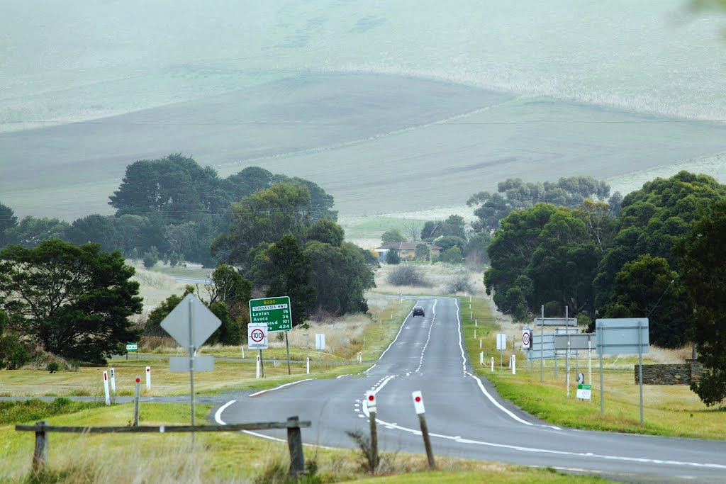
Photos of Evansford
Evansford Weather

Predicción: Broken clouds
Temperatura: 12.6°
Humedad: 54%
Hora actual: 10:00 AM
Amanece: 06:54 AM
Anochece: 05:55 PM






![Former Dunach State School [1874] (left) and former Amherst Hospital Isolation Unit [c.1909]. Both buildings were relocated here and opened as the Talbot Arts and Historical Museum in 1984 Former Dunach State School [1874] (left) and former Amherst Hospital Isolation Unit [c.1909]. Both buildings were relocated here and opened as the Talbot Arts and Historical Museum in 1984](/photos/44194349.jpg)
