Distance between  Peterborough and
  Cowell
120.85 mi Straight Distance
193.55 mi Driving Distance
3 hours 6 mins Estimated Driving Time
The straight distance between Peterborough (South Australia) and Cowell (South Australia) is 120.85 mi, but the driving distance is 193.55 mi.
It takes 3 hours 31 mins to go from Peterborough to Cowell.
Driving directions from Peterborough to Cowell
Distance in kilometers
Straight distance: 194.44 km. Route distance: 311.42 km
Peterborough, Australia
Latitude: -32.9733 // Longitude: 138.838
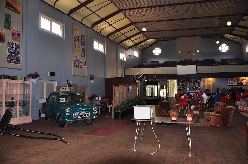
Photos of Peterborough
Peterborough Weather

Predicción: Clear sky
Temperatura: 10.2°
Humedad: 78%
Hora actual: 02:40 AM
Amanece: 06:38 AM
Anochece: 05:50 PM
Cowell, Australia
Latitude: -33.6836 // Longitude: 136.925
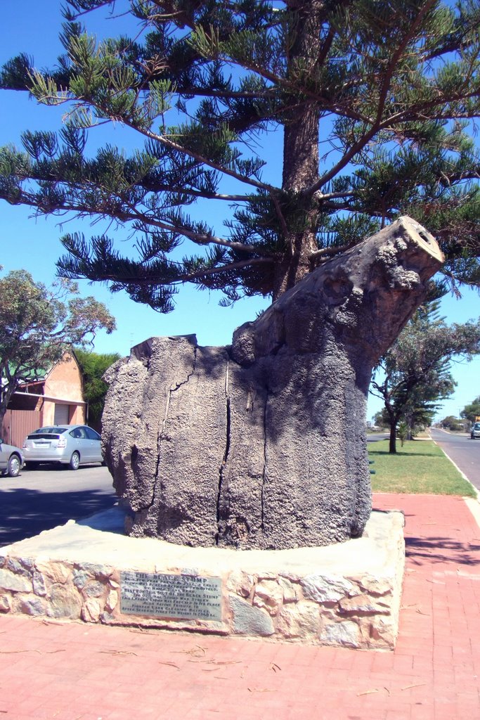
Photos of Cowell
Cowell Weather

Predicción: Few clouds
Temperatura: 15.9°
Humedad: 78%
Hora actual: 02:40 AM
Amanece: 06:46 AM
Anochece: 05:57 PM


