Distance between  Perlubie Landing and
  Moonta
213.73 mi Straight Distance
385.41 mi Driving Distance
6 hours 11 mins Estimated Driving Time
The straight distance between Perlubie Landing (South Australia) and Moonta (South Australia) is 213.73 mi, but the driving distance is 385.41 mi.
It takes 6 hours 27 mins to go from Perlubie Landing to Moonta.
Driving directions from Perlubie Landing to Moonta
Distance in kilometers
Straight distance: 343.90 km. Route distance: 620.12 km
Perlubie Landing, Australia
Latitude: -32.6 // Longitude: 134.333
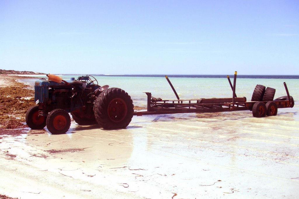
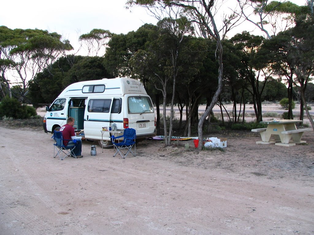
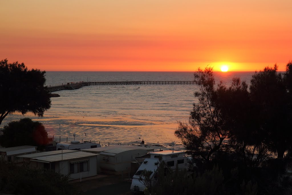
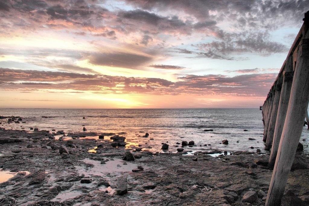
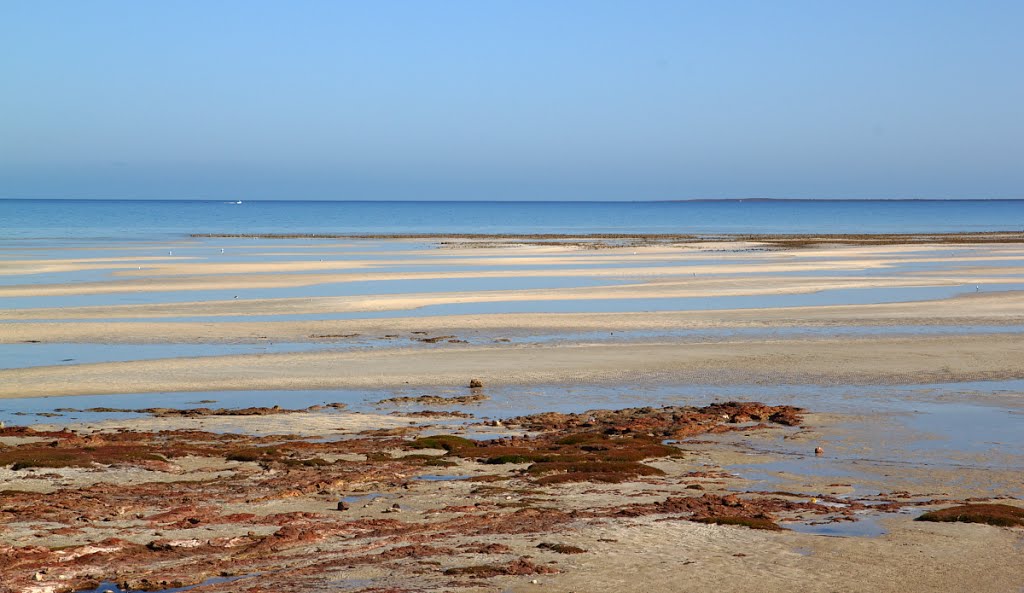
Photos of Perlubie Landing
Perlubie Landing Weather

Predicción: Scattered clouds
Temperatura: 10.7°
Humedad: 91%
Hora actual: 12:00 AM
Amanece: 09:25 PM
Anochece: 08:39 AM
Moonta, Australia
Latitude: -34.0686 // Longitude: 137.592
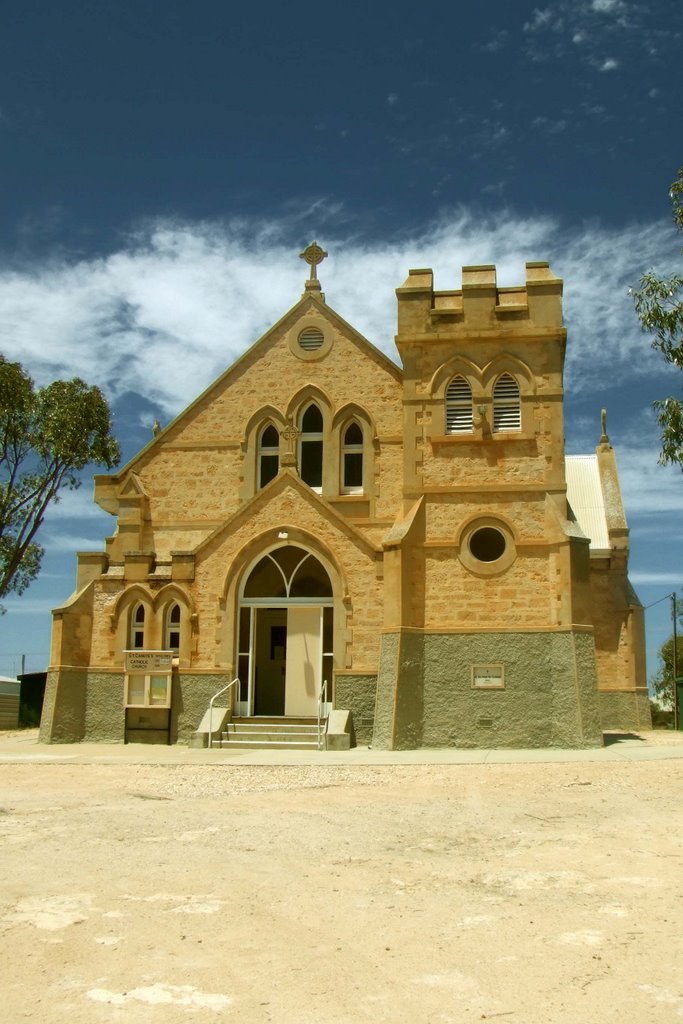
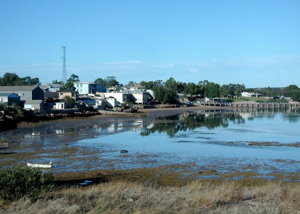
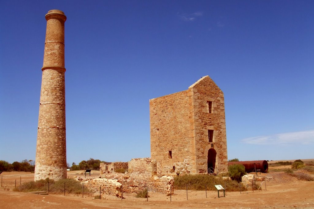
Photos of Moonta
Moonta Weather

Predicción: Clear sky
Temperatura: 12.1°
Humedad: 89%
Hora actual: 06:08 AM
Amanece: 06:44 AM
Anochece: 05:54 PM


