Distance between  Pental Island and
  Merrinee
123.70 mi Straight Distance
164.64 mi Driving Distance
2 hours 47 mins Estimated Driving Time
The straight distance between Pental Island (Victoria) and Merrinee (Victoria) is 123.70 mi, but the driving distance is 164.64 mi.
It takes 2 hours 57 mins to go from Pental Island to Merrinee.
Driving directions from Pental Island to Merrinee
Distance in kilometers
Straight distance: 199.03 km. Route distance: 264.91 km
Pental Island, Australia
Latitude: -35.3806 // Longitude: 143.6
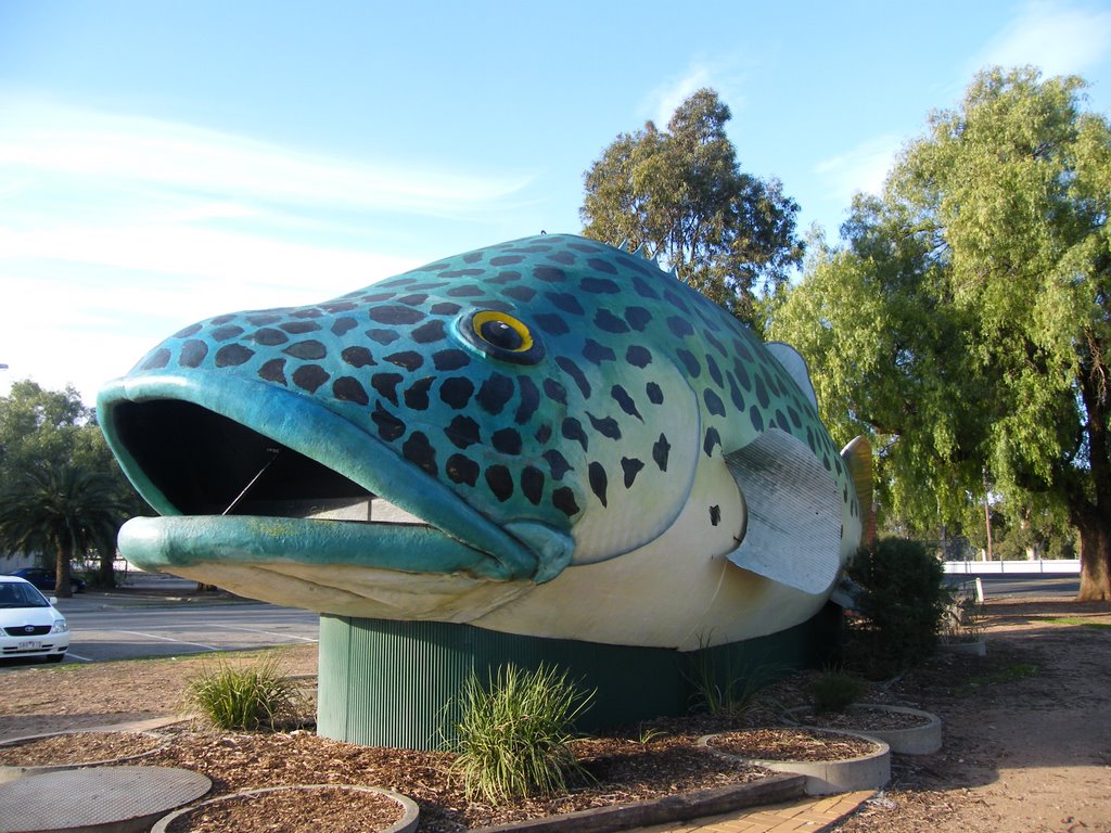
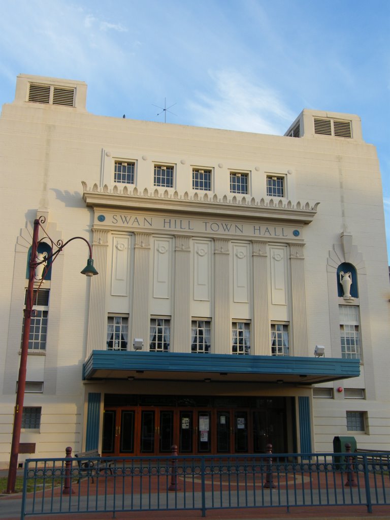
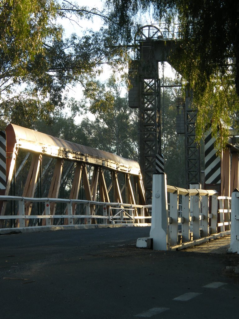
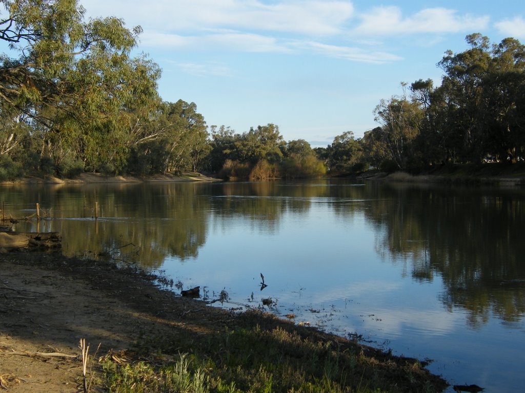
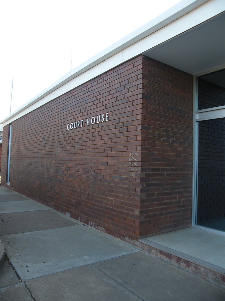
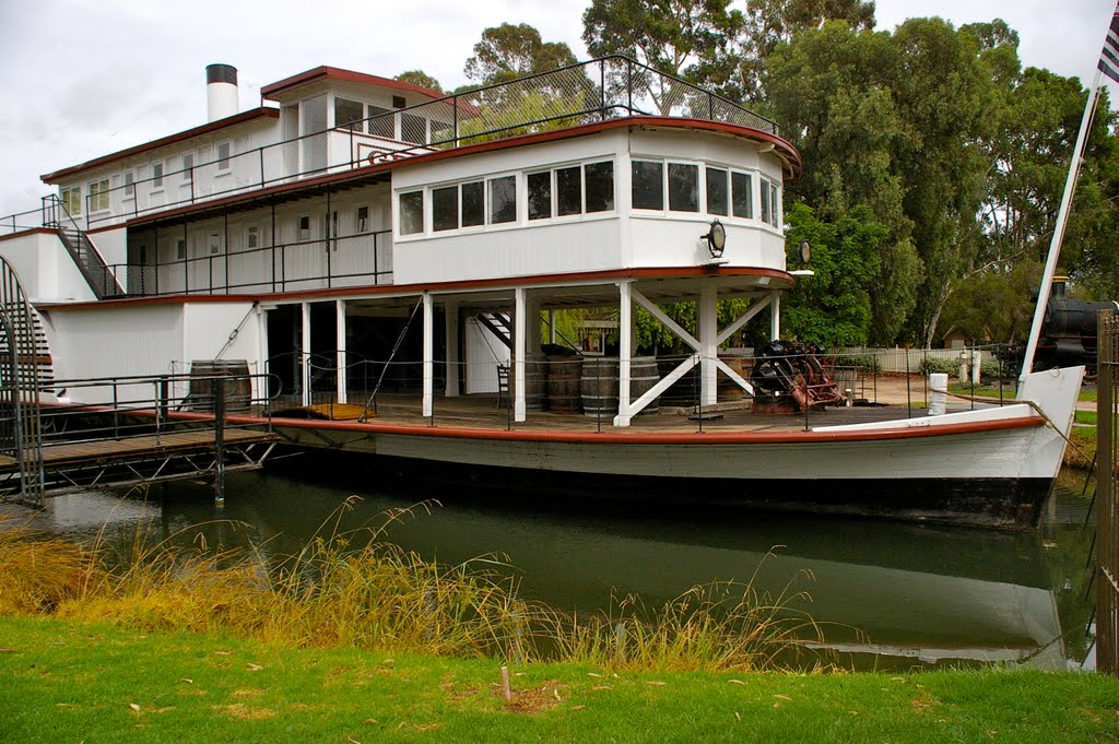
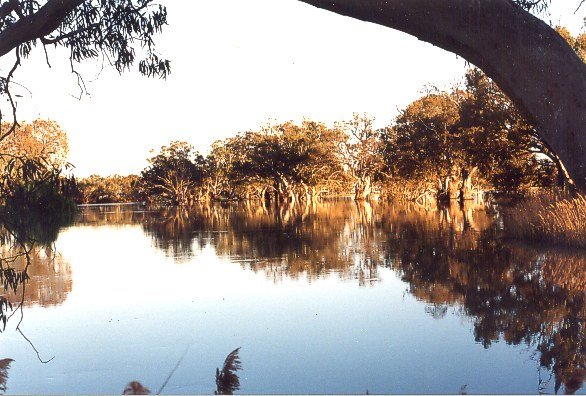
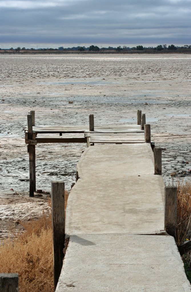
Photos of Pental Island
Pental Island Weather

Predicción: Broken clouds
Temperatura: 12.5°
Humedad: 75%
Hora actual: 06:38 AM
Amanece: 06:53 AM
Anochece: 05:56 PM
Merrinee, Australia
Latitude: -34.3707 // Longitude: 141.798
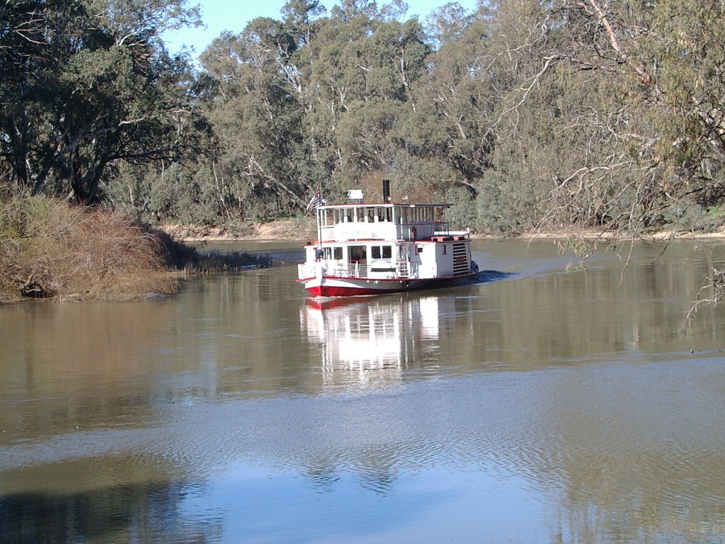
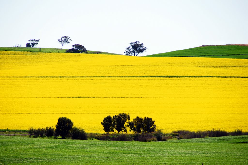
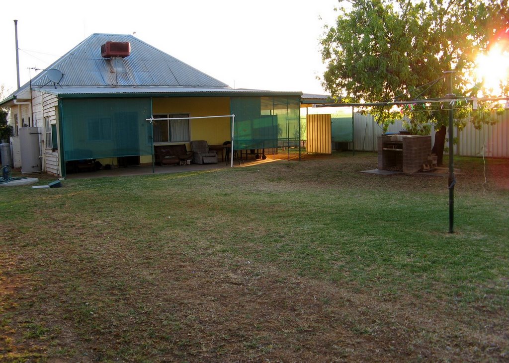
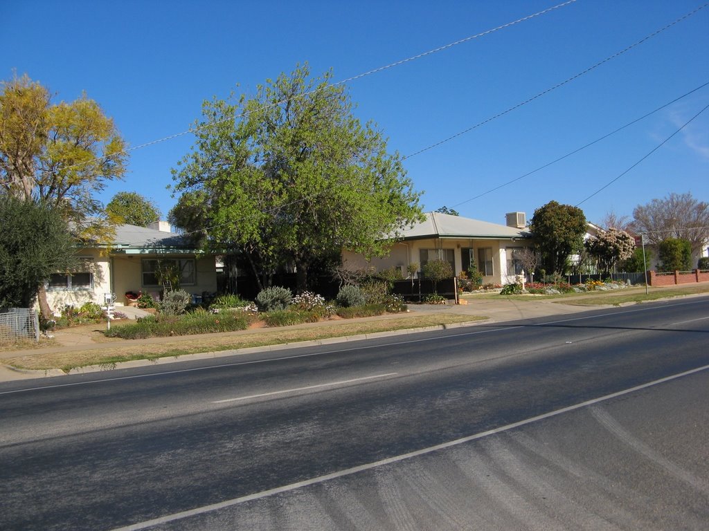
Photos of Merrinee
Merrinee Weather

Predicción: Broken clouds
Temperatura: 13.3°
Humedad: 79%
Hora actual: 10:00 AM
Amanece: 06:59 AM
Anochece: 06:04 PM


