Distance between  Palinyewah and
  Morundah
258.94 mi Straight Distance
370.63 mi Driving Distance
6 hours 13 mins Estimated Driving Time
The straight distance between Palinyewah (New South Wales) and Morundah (New South Wales) is 258.94 mi, but the driving distance is 370.63 mi.
It takes to go from Palinyewah to Morundah.
Driving directions from Palinyewah to Morundah
Distance in kilometers
Straight distance: 416.63 km. Route distance: 596.35 km
Palinyewah, Australia
Latitude: -33.3707 // Longitude: 142.191
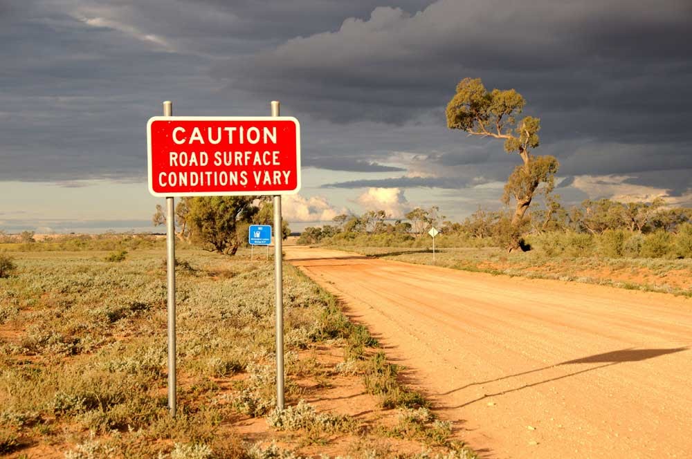
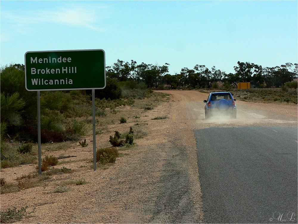
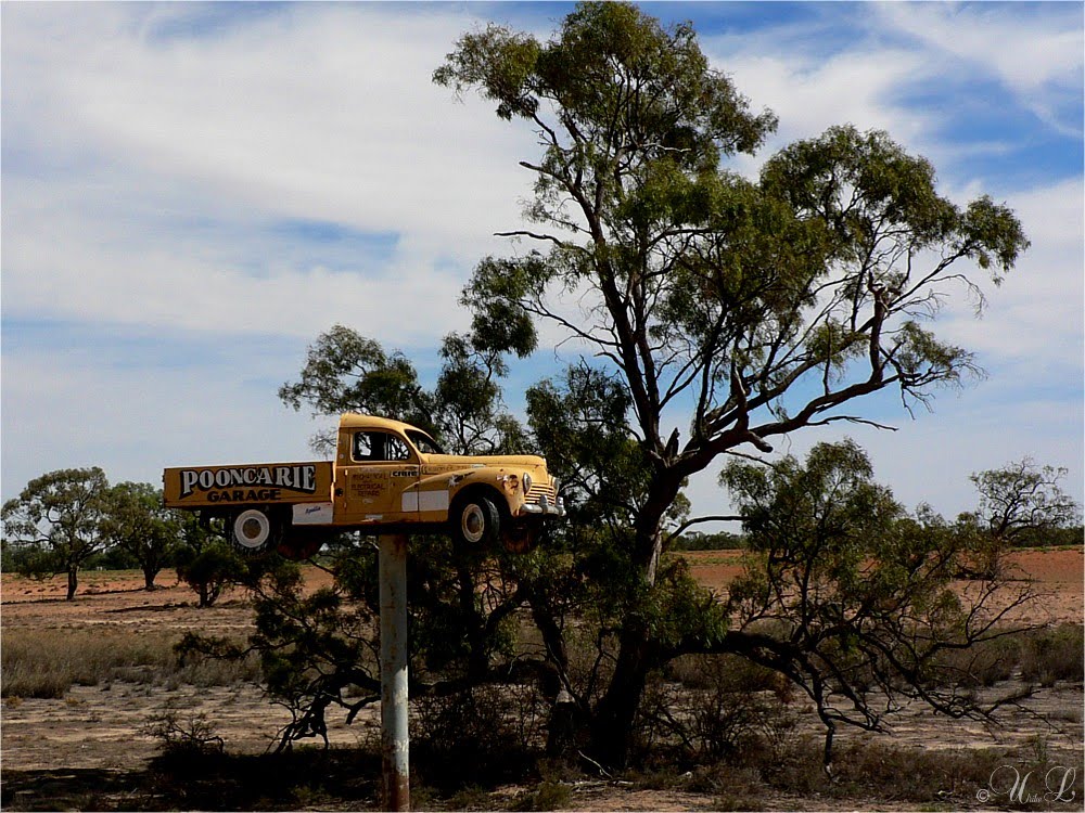
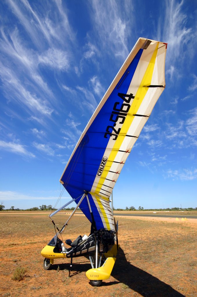
Photos of Palinyewah
Palinyewah Weather

Predicción: Overcast clouds
Temperatura: 15.5°
Humedad: 60%
Hora actual: 12:00 AM
Amanece: 08:56 PM
Anochece: 08:04 AM
Morundah, Australia
Latitude: -34.9366 // Longitude: 146.306
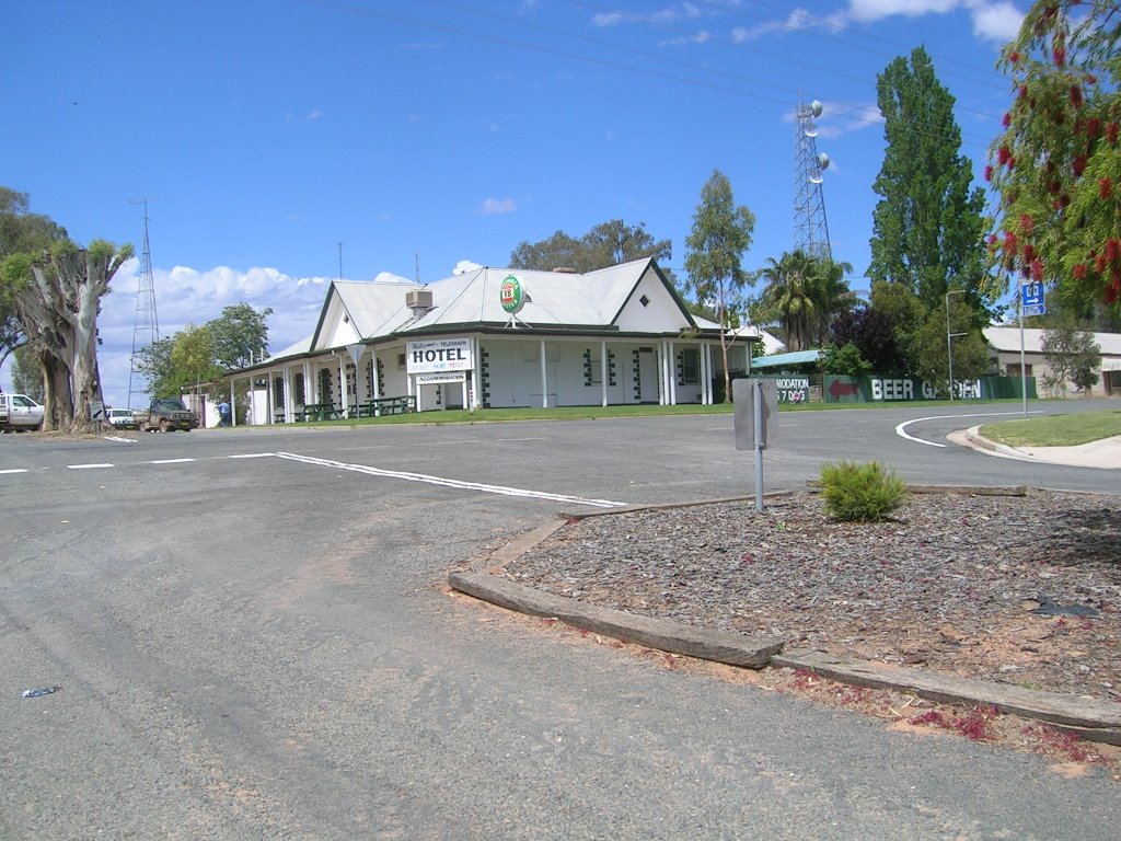
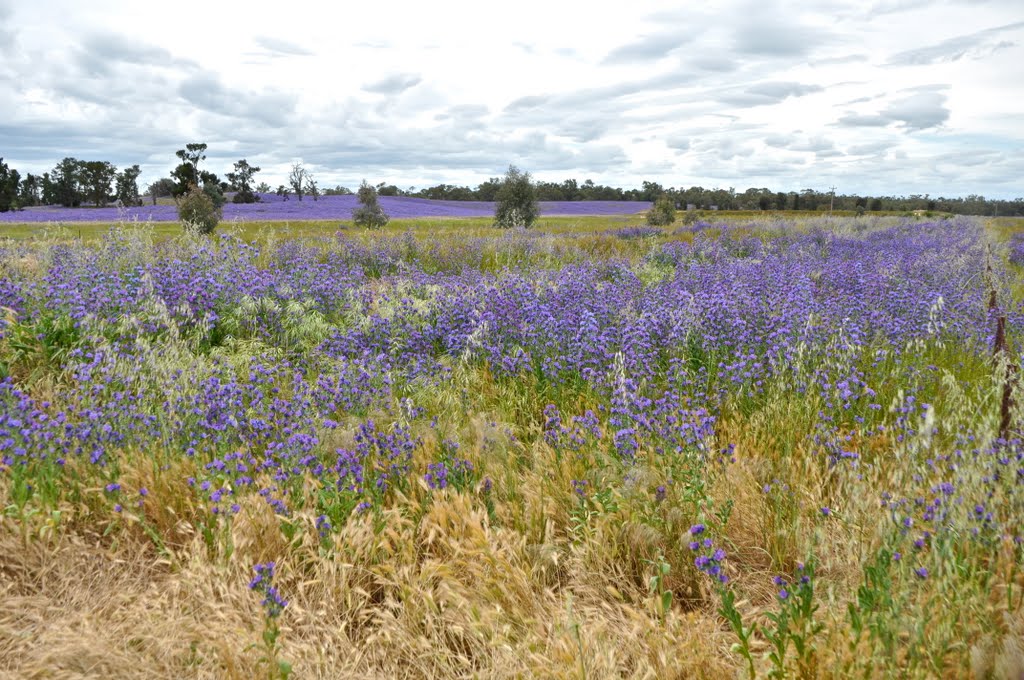
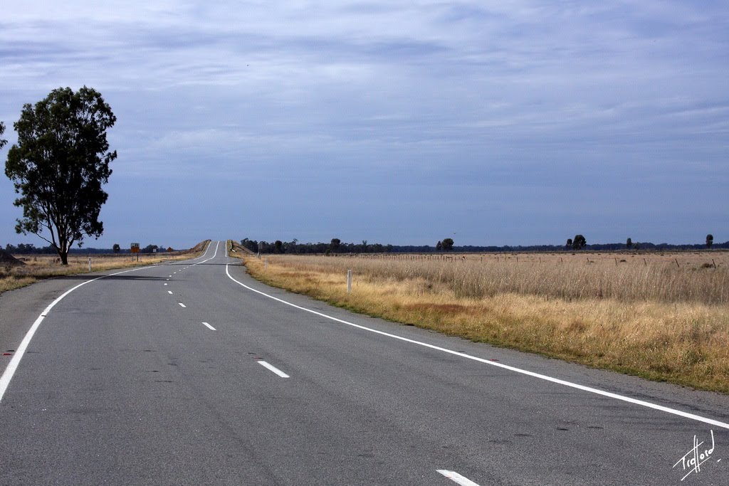
Photos of Morundah
Morundah Weather

Predicción: Overcast clouds
Temperatura: 15.1°
Humedad: 71%
Hora actual: 12:00 AM
Amanece: 08:41 PM
Anochece: 07:46 AM


