Distance between  Osbornes Flat and
  Rawson
117.14 mi Straight Distance
239.97 mi Driving Distance
4 hours 8 mins Estimated Driving Time
The straight distance between Osbornes Flat (Victoria) and Rawson (Victoria) is 117.14 mi, but the driving distance is 239.97 mi.
It takes to go from Osbornes Flat to Rawson.
Driving directions from Osbornes Flat to Rawson
Distance in kilometers
Straight distance: 188.48 km. Route distance: 386.12 km
Osbornes Flat, Australia
Latitude: -36.3062 // Longitude: 146.891
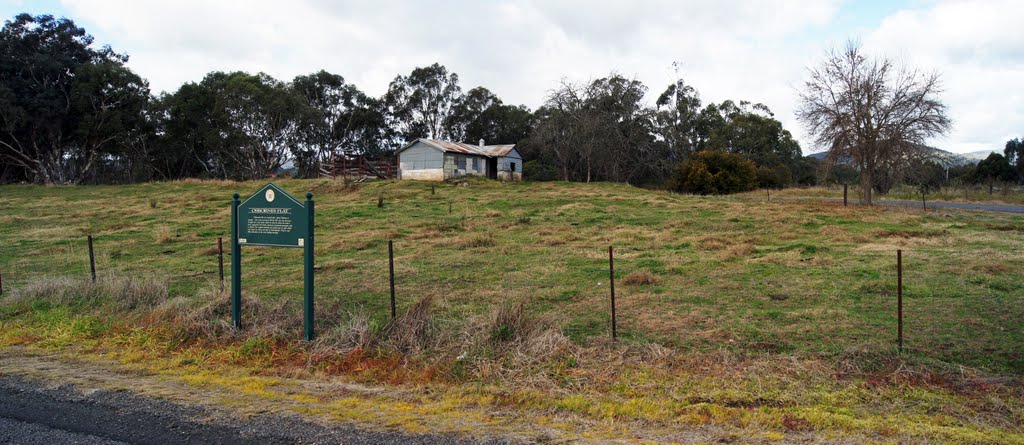
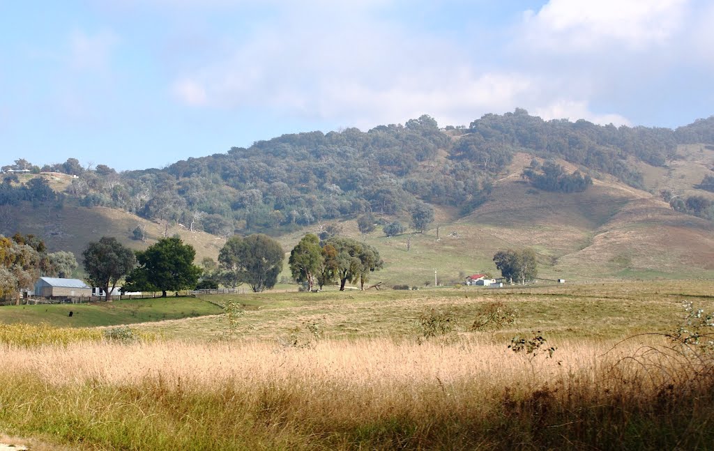
Photos of Osbornes Flat
Osbornes Flat Weather

Predicción: Clear sky
Temperatura: 17.9°
Humedad: 45%
Hora actual: 11:07 AM
Amanece: 06:41 AM
Anochece: 05:41 PM
Rawson, Australia
Latitude: -37.9556 // Longitude: 146.399
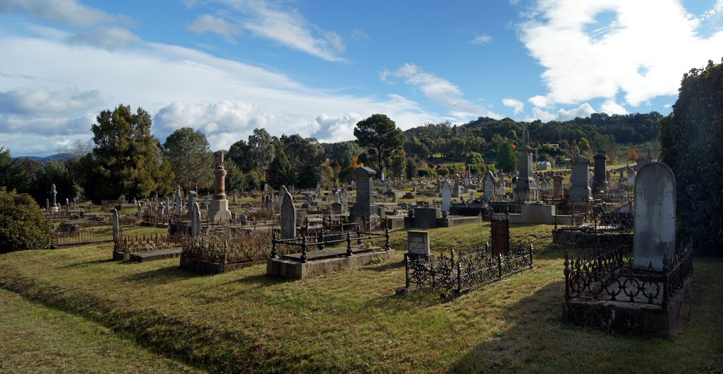
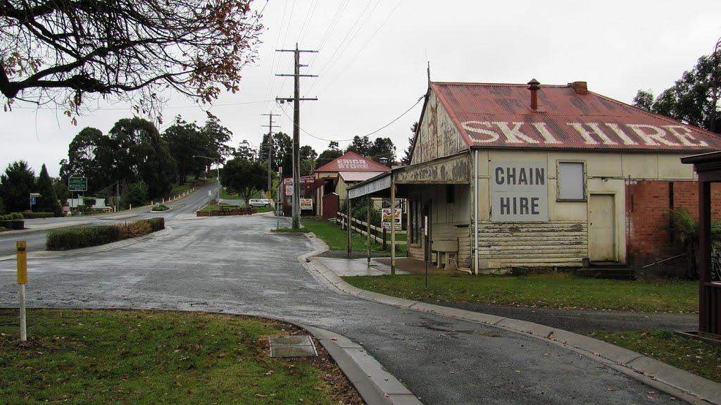
Photos of Rawson
Rawson Weather

Predicción: Broken clouds
Temperatura: 11.6°
Humedad: 67%
Hora actual: 10:00 AM
Amanece: 06:45 AM
Anochece: 05:41 PM


