Distance between  Orielton and
  Low Head
120.43 mi Straight Distance
142.74 mi Driving Distance
2 hours 32 mins Estimated Driving Time
The straight distance between Orielton (Tasmania) and Low Head (Tasmania) is 120.43 mi, but the driving distance is 142.74 mi.
It takes to go from Orielton to Low Head.
Driving directions from Orielton to Low Head
Distance in kilometers
Straight distance: 193.77 km. Route distance: 229.66 km
Orielton, Australia
Latitude: -42.7383 // Longitude: 147.531
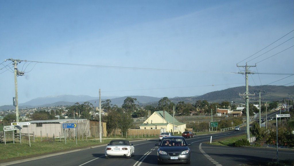
Photos of Orielton
Orielton Weather

Predicción: Broken clouds
Temperatura: 14.0°
Humedad: 62%
Hora actual: 11:42 AM
Amanece: 06:46 AM
Anochece: 05:31 PM
Low Head, Australia
Latitude: -41.0804 // Longitude: 146.808
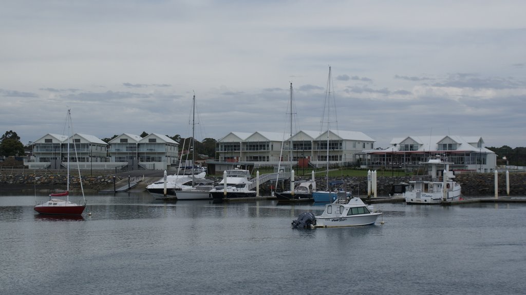
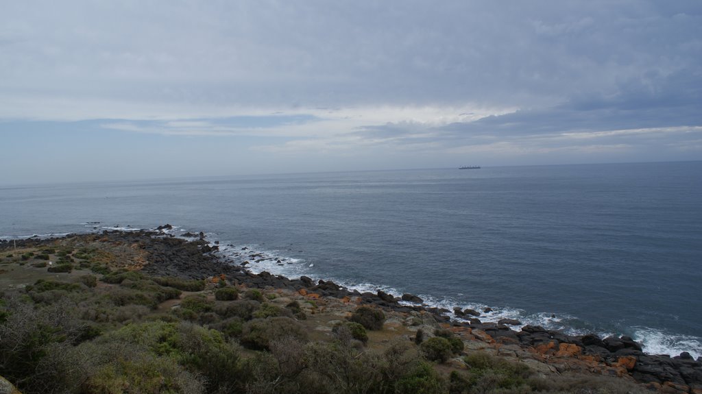
Photos of Low Head
Low Head Weather

Predicción: Clear sky
Temperatura: 16.2°
Humedad: 52%
Hora actual: 11:42 AM
Amanece: 06:47 AM
Anochece: 05:36 PM


